Talk to Jeff: 614-989-9394

Perry County · Sold

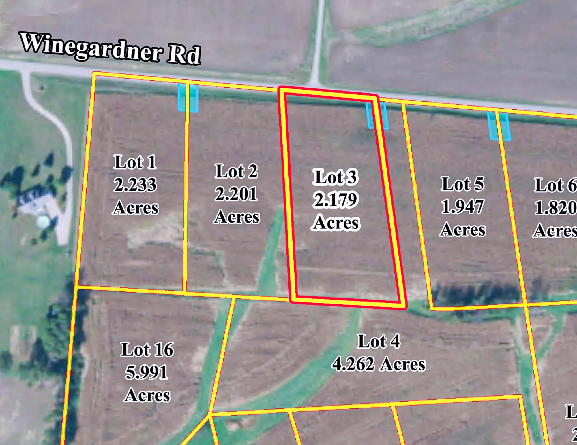
Lot 3 at Sheridan Estates

0 Winegardner Rd
Somerset, Ohio 43783

Acreage

2.17 acres

This property has sold.

The interactive map and property-line walking tools remain available. Driving directions are not provided for sold properties.

Interactive property map

Explore this property map.

Switch aerial, topographic, soil, water, contour, and terrain layers while the mapped project boundary stays visible.

Property Documents

Property Description

Lot 3 at Sheridan Estates
2.1 Ac Estate Home Site Outside of Somerset
Winegardner Rd, Somerset, Ohio
Perry County

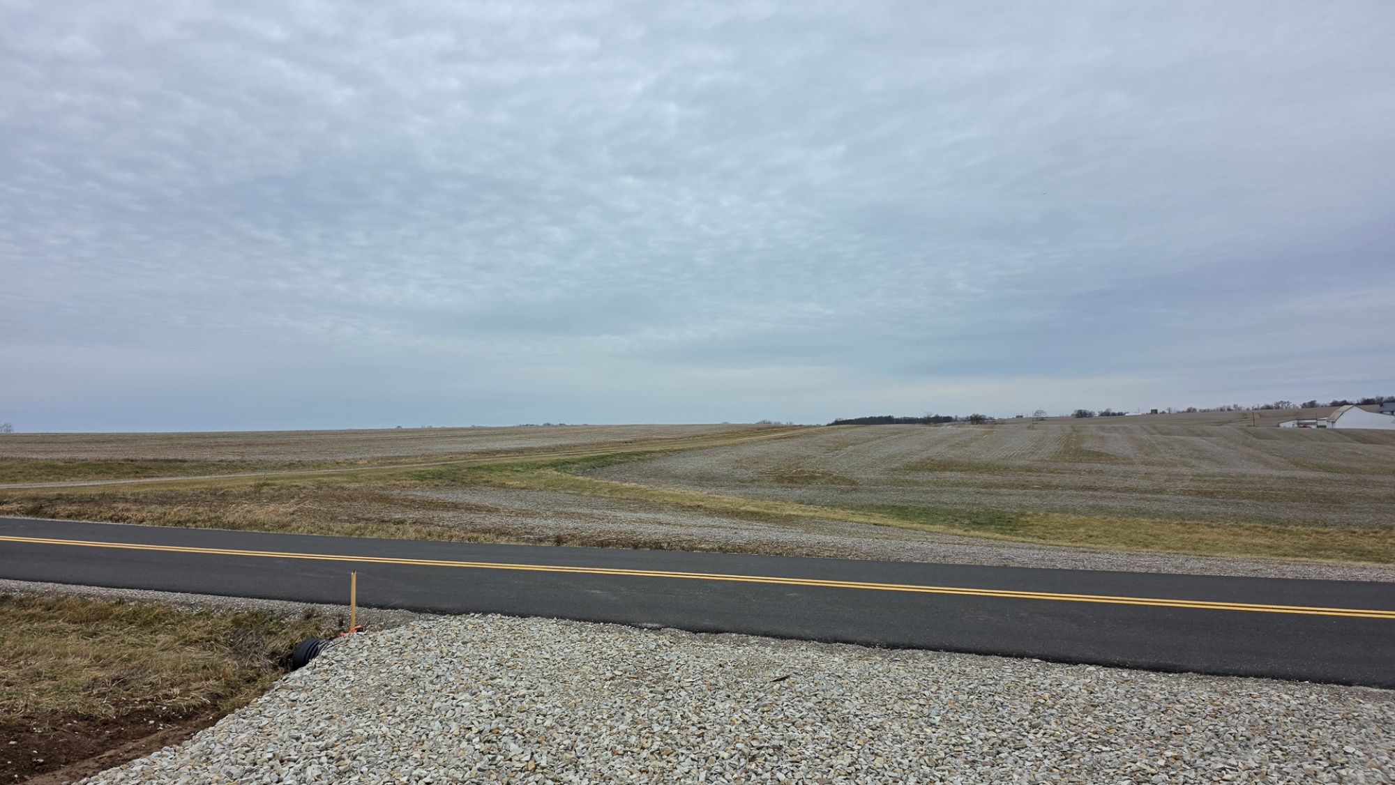
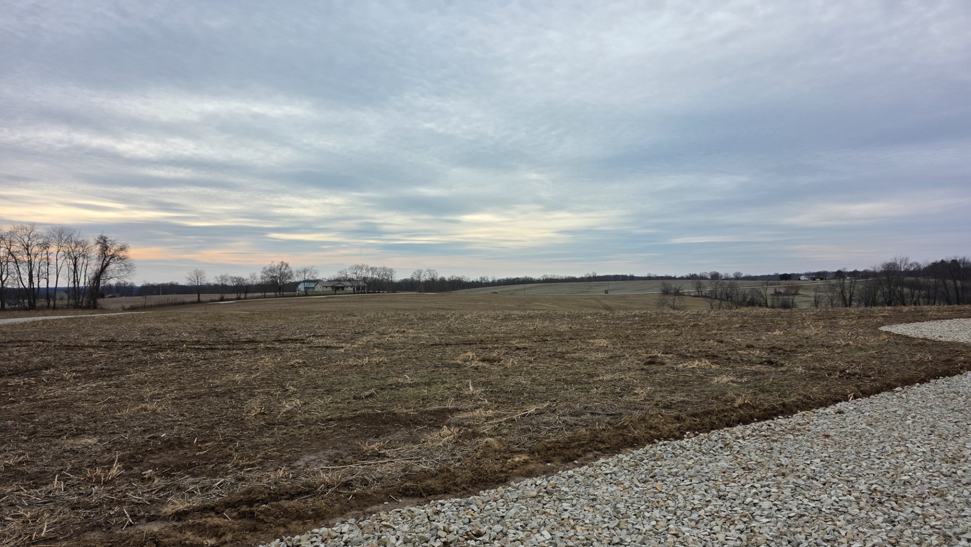
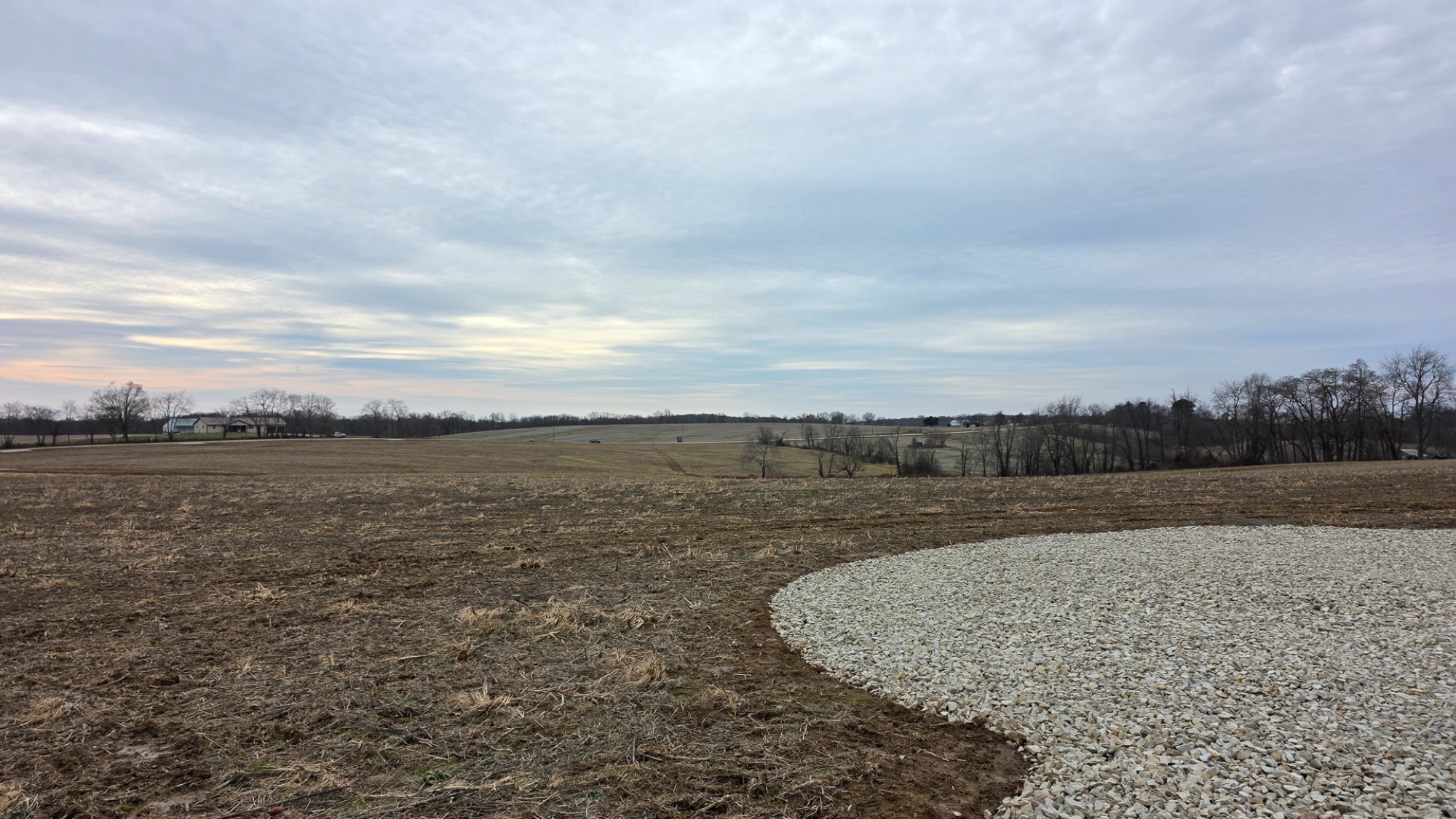
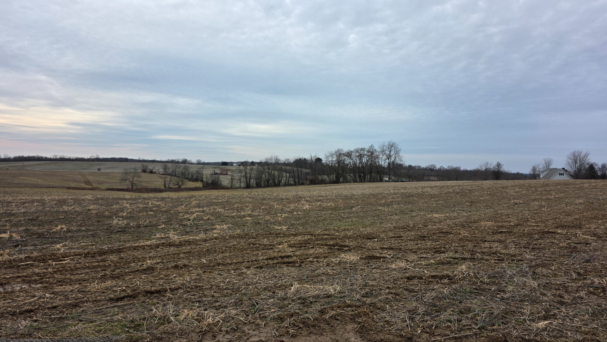
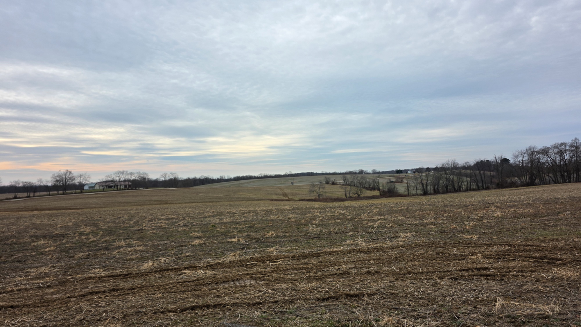
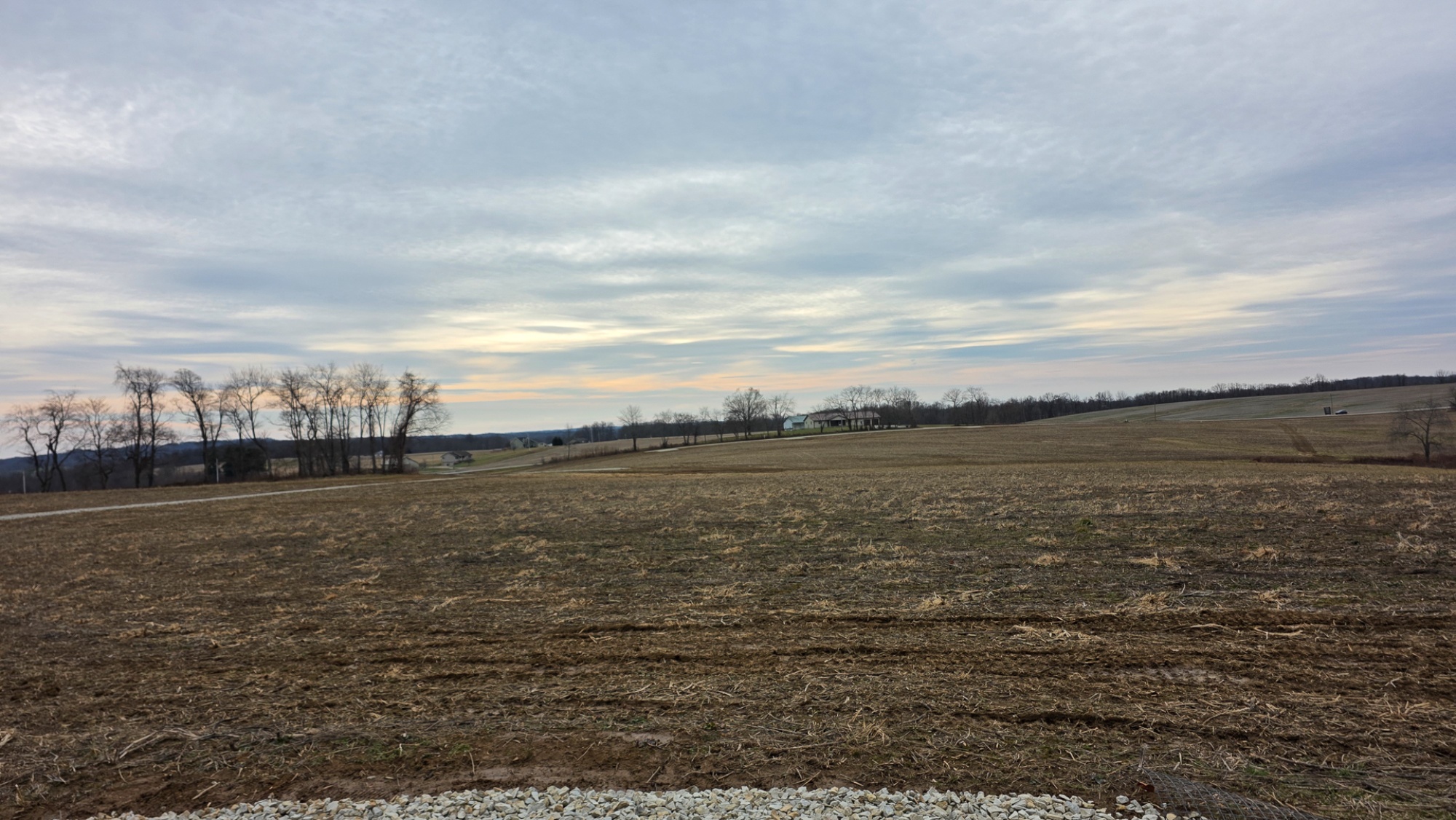
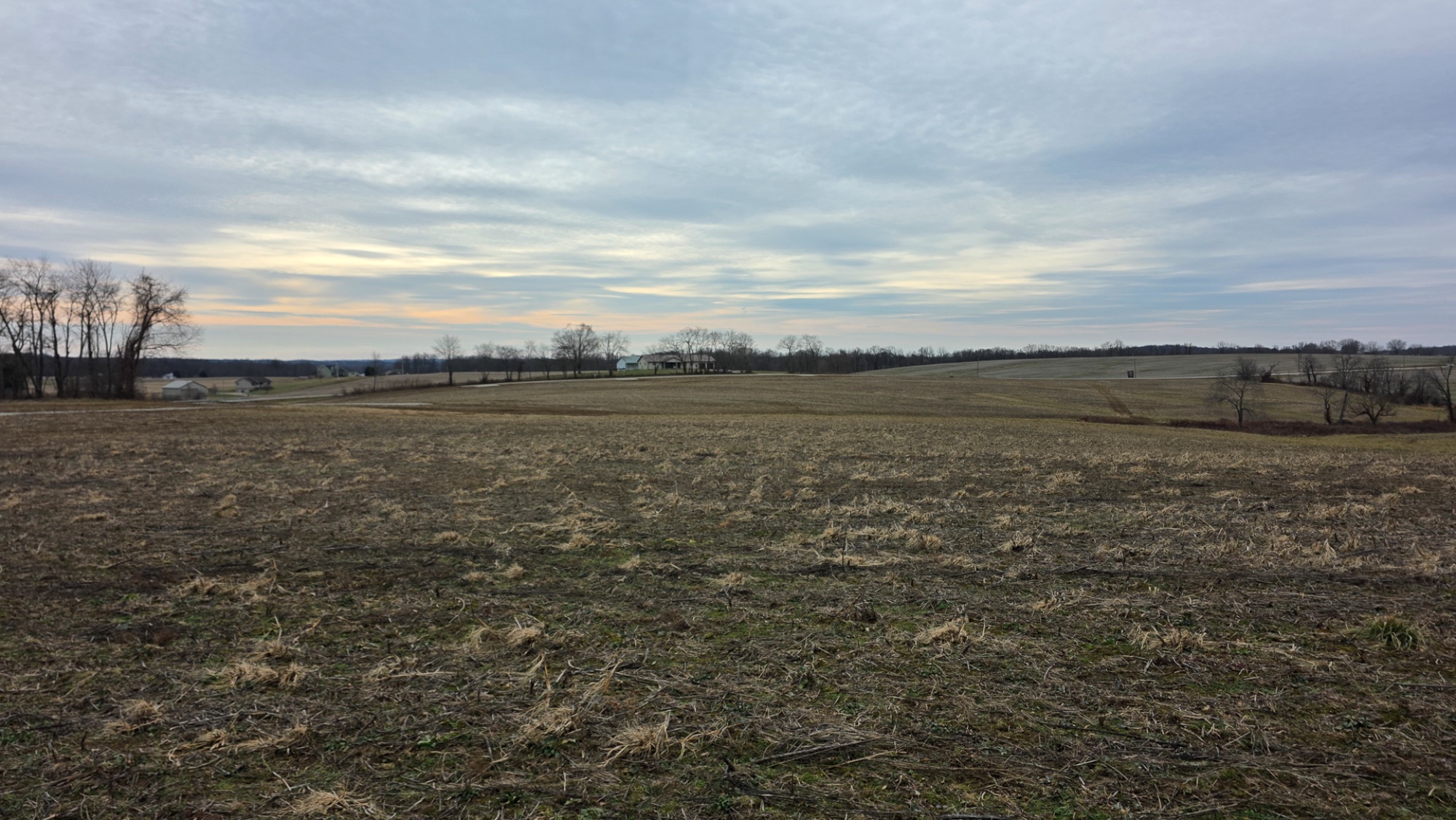
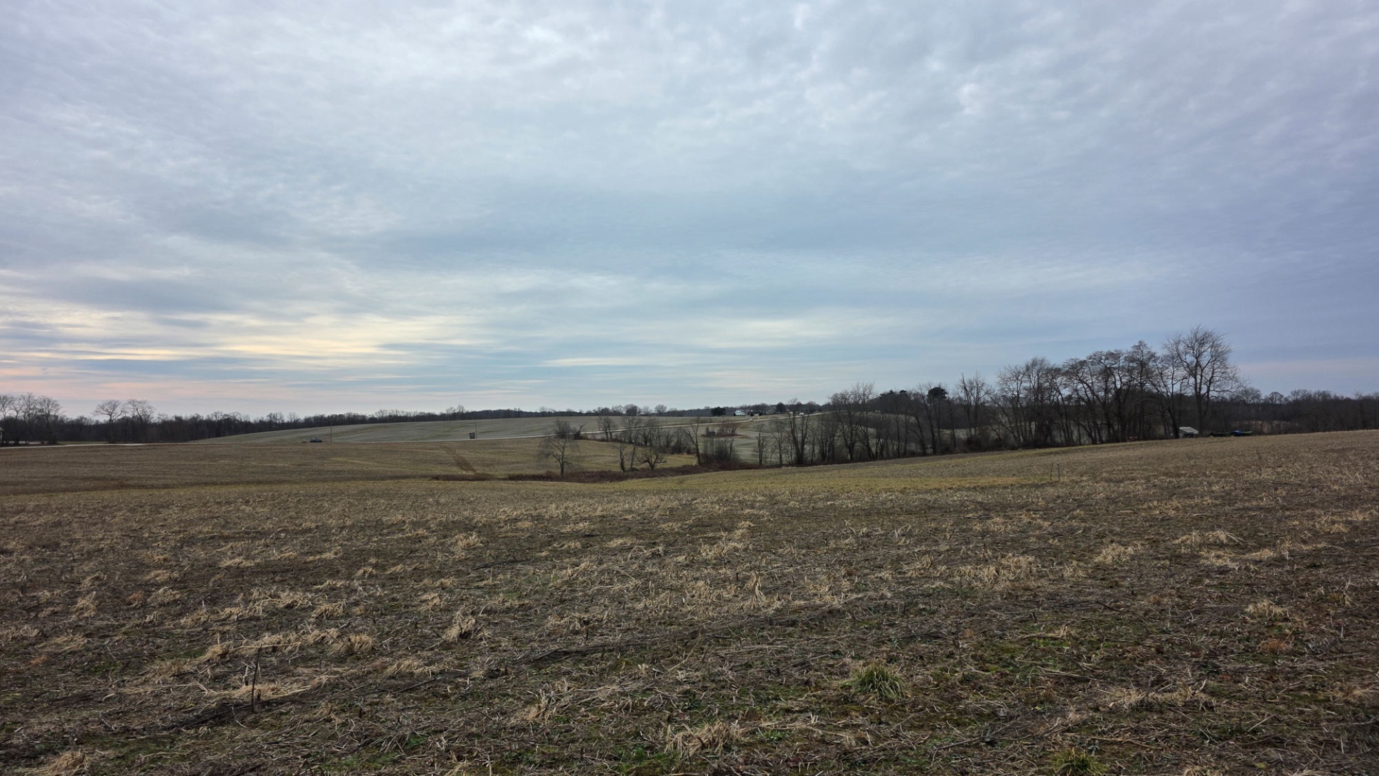
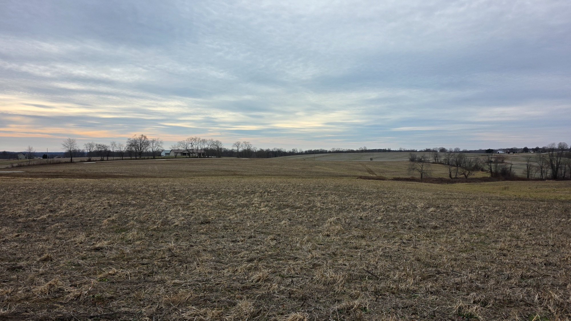
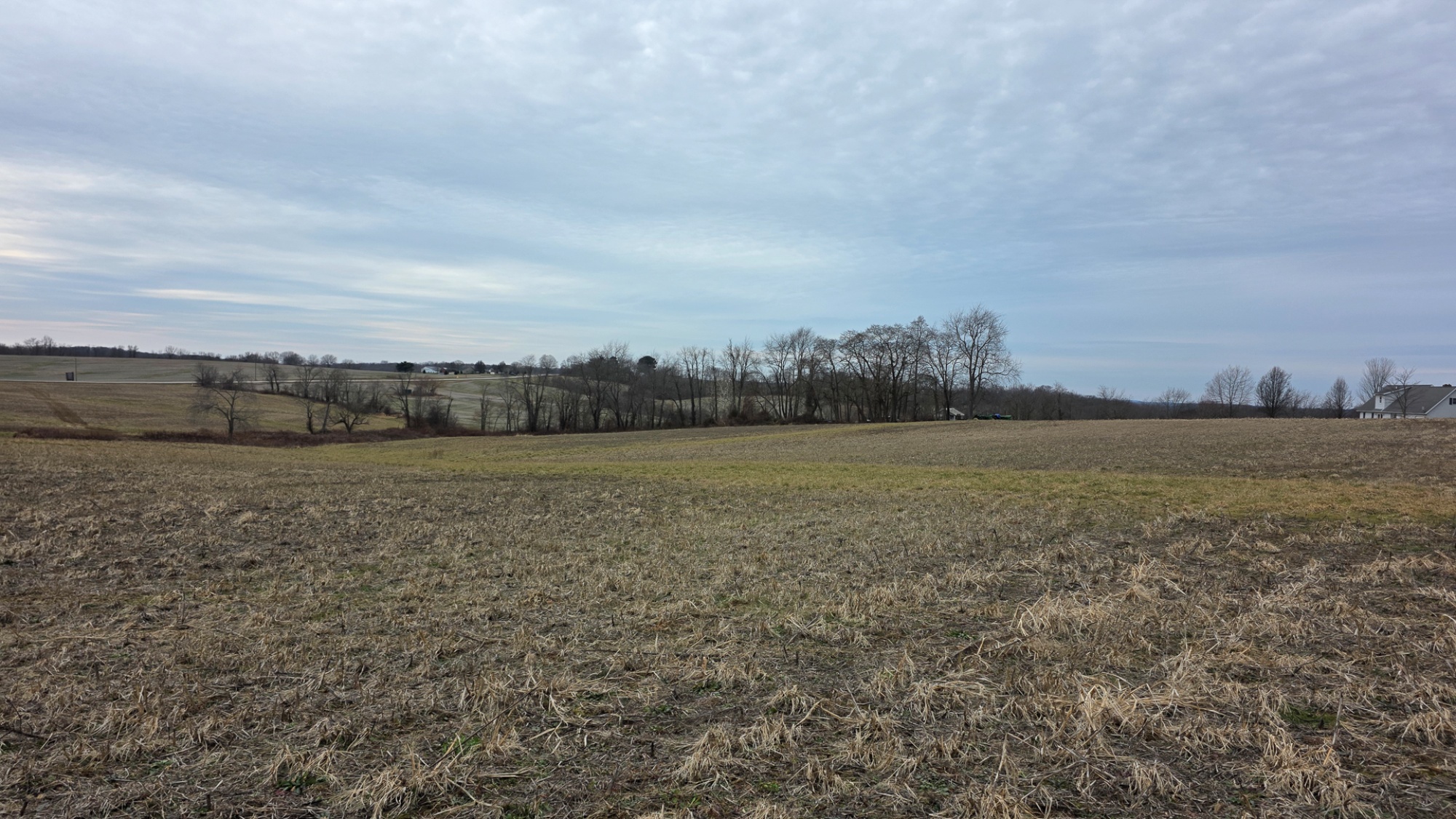
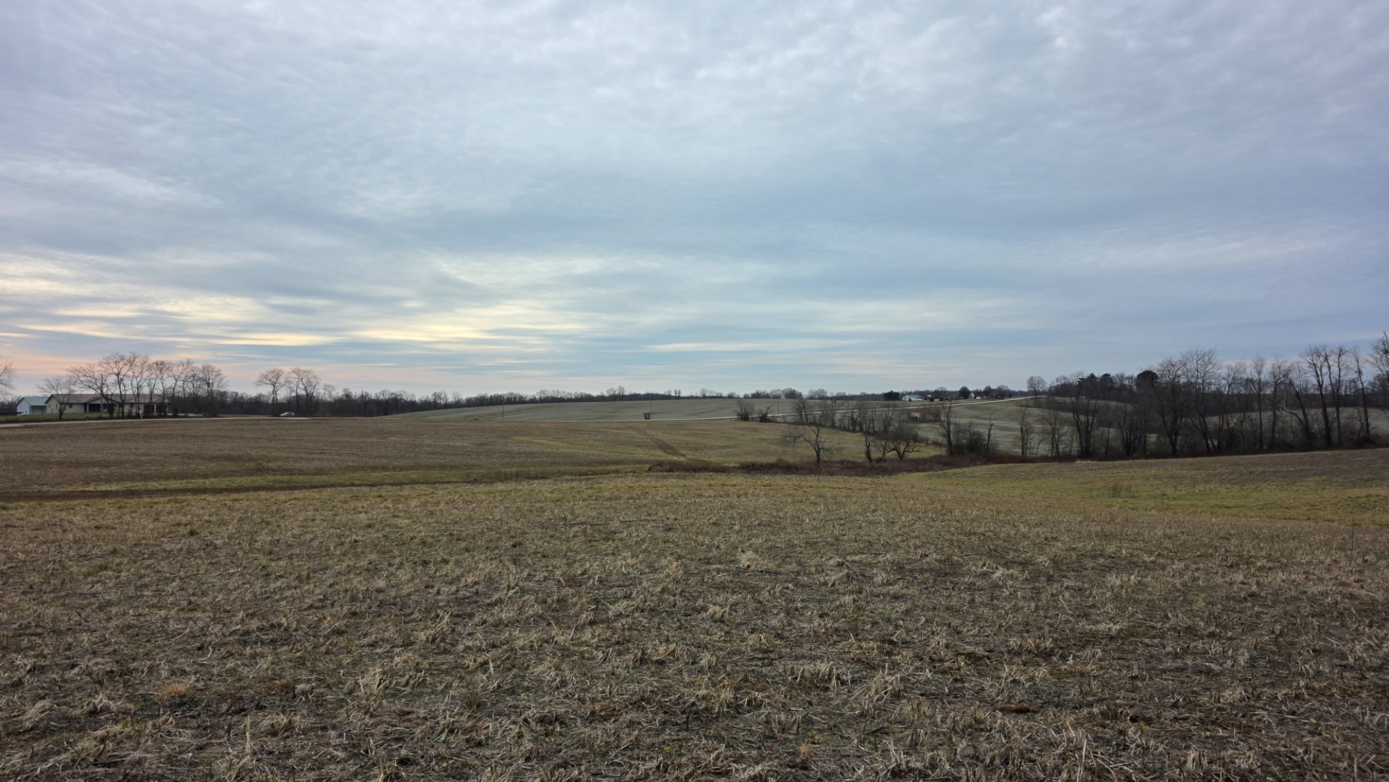
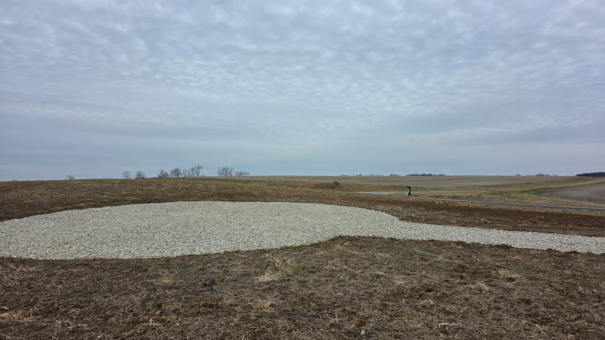
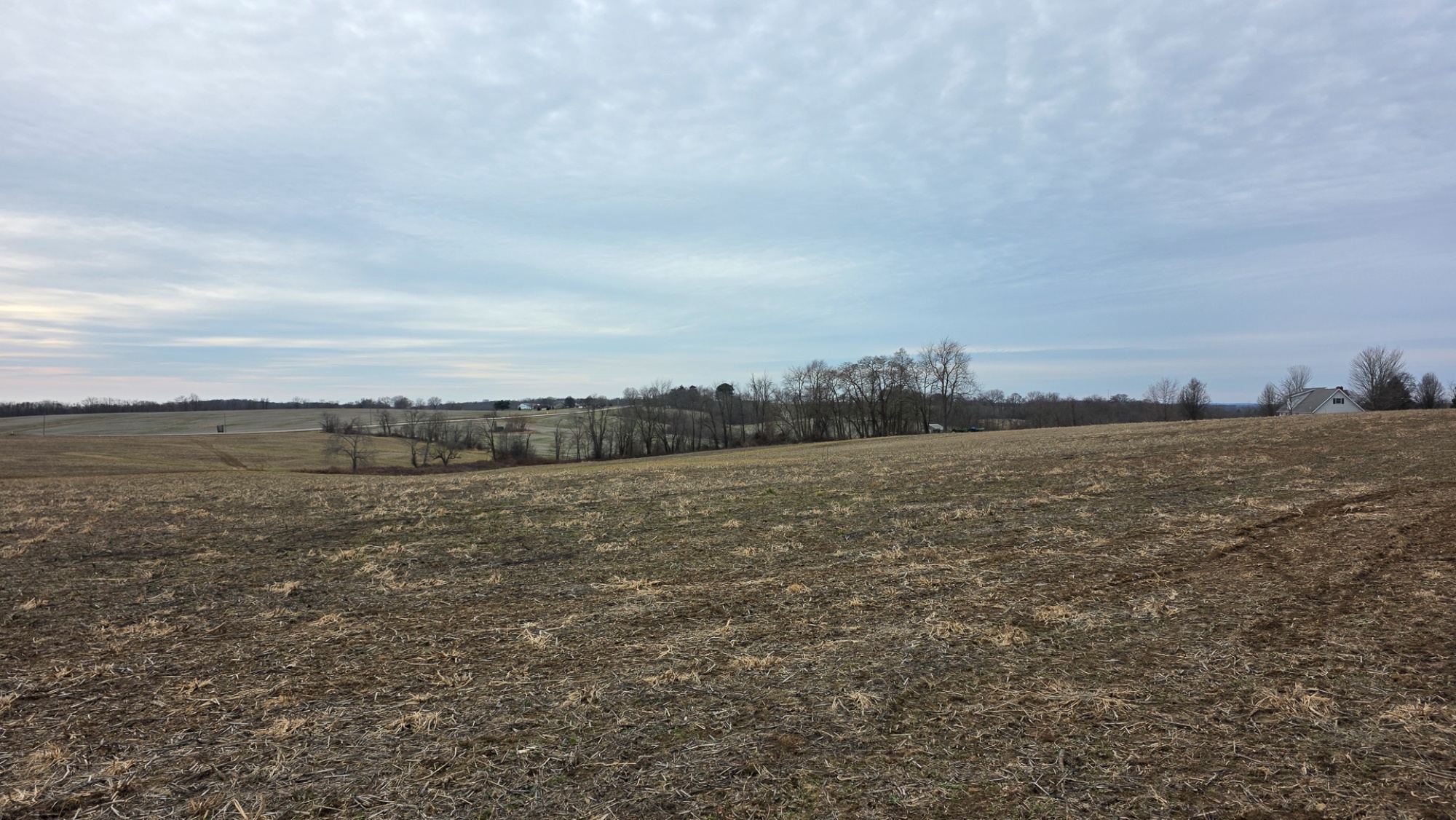
Lot 3 at Sheridan Estates is a 2.1-acre estate home site just one mile outside Somerset, offering a quiet country setting with quick access to town and US-22. Located in the Northern Local School District and with the freedom to choose your own builder.


  • Estate Home Site Just Minutes from Town
  • Convenient Location, One Mile from Somerset
  • Choose your Own Builder – No Time Limit
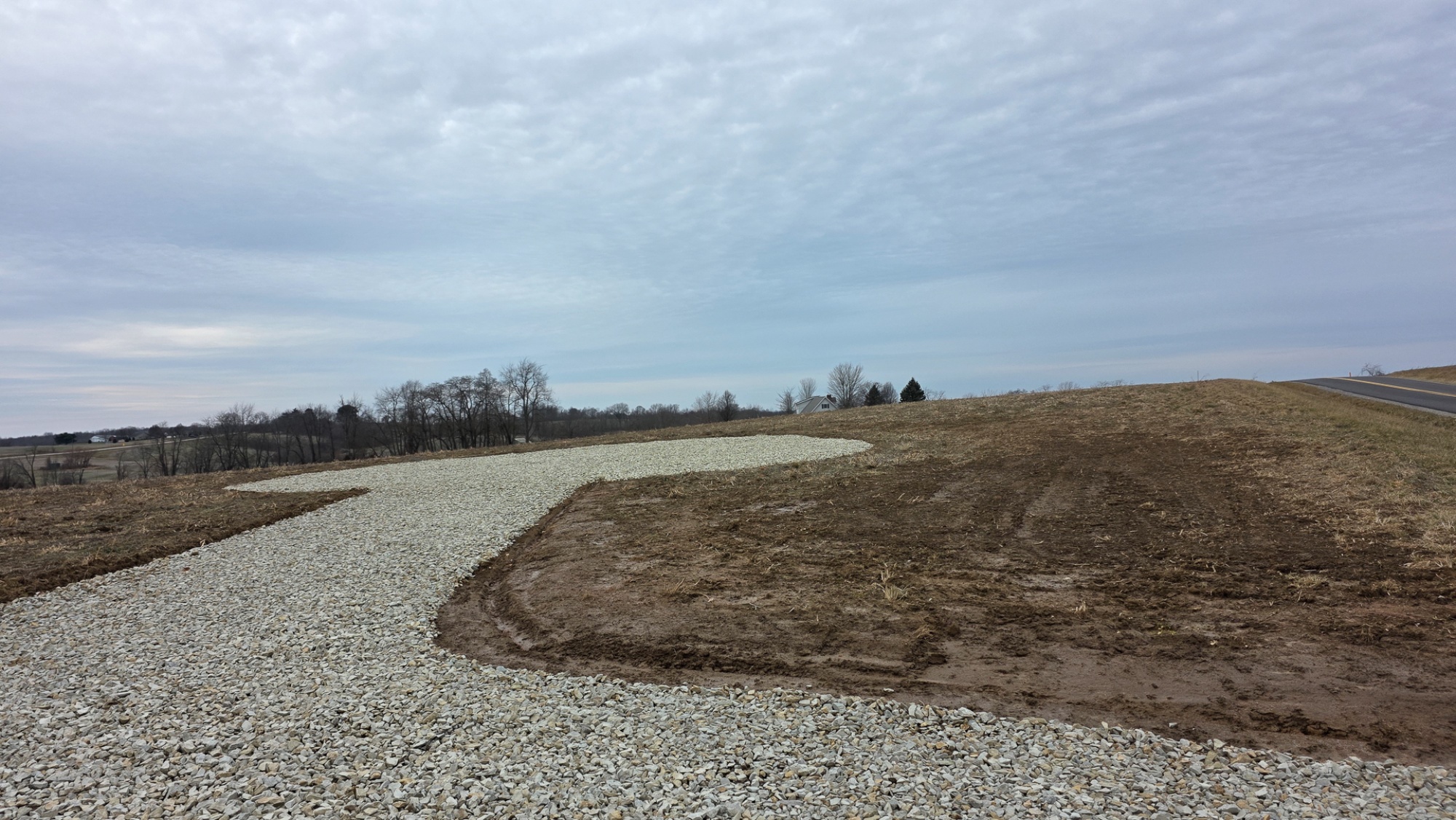
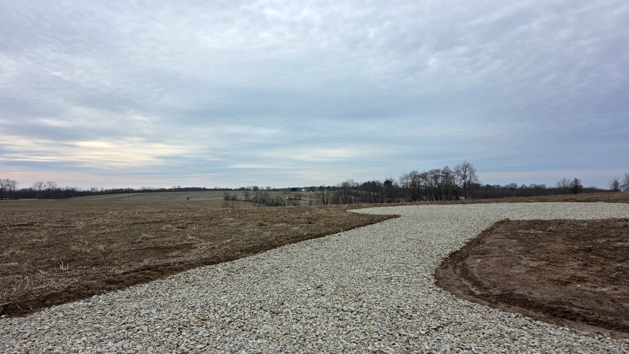
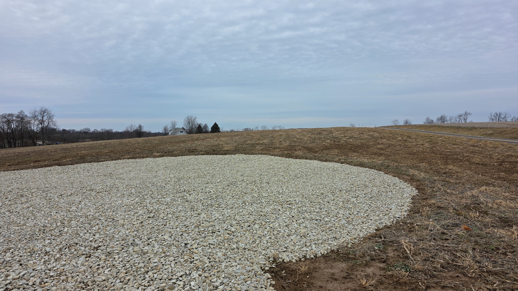
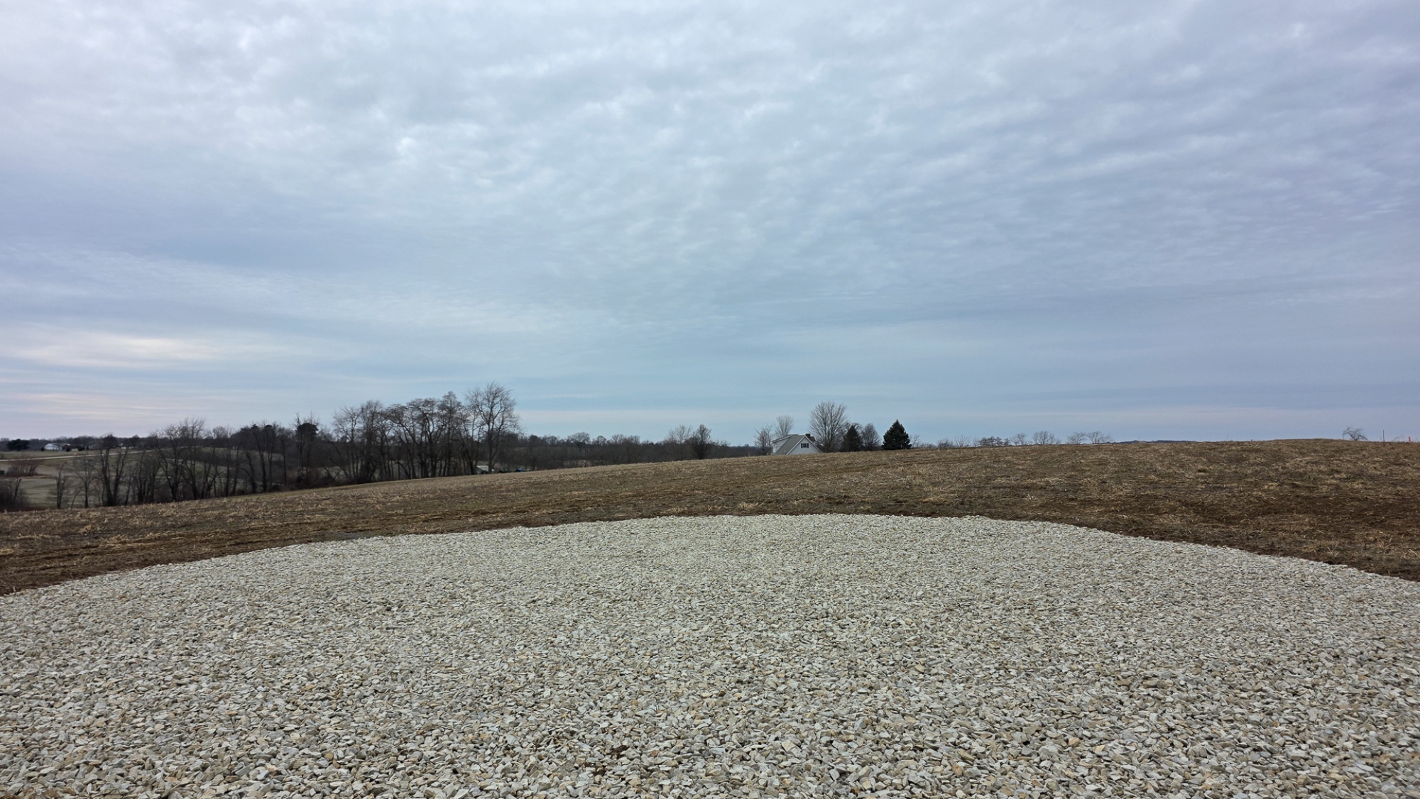
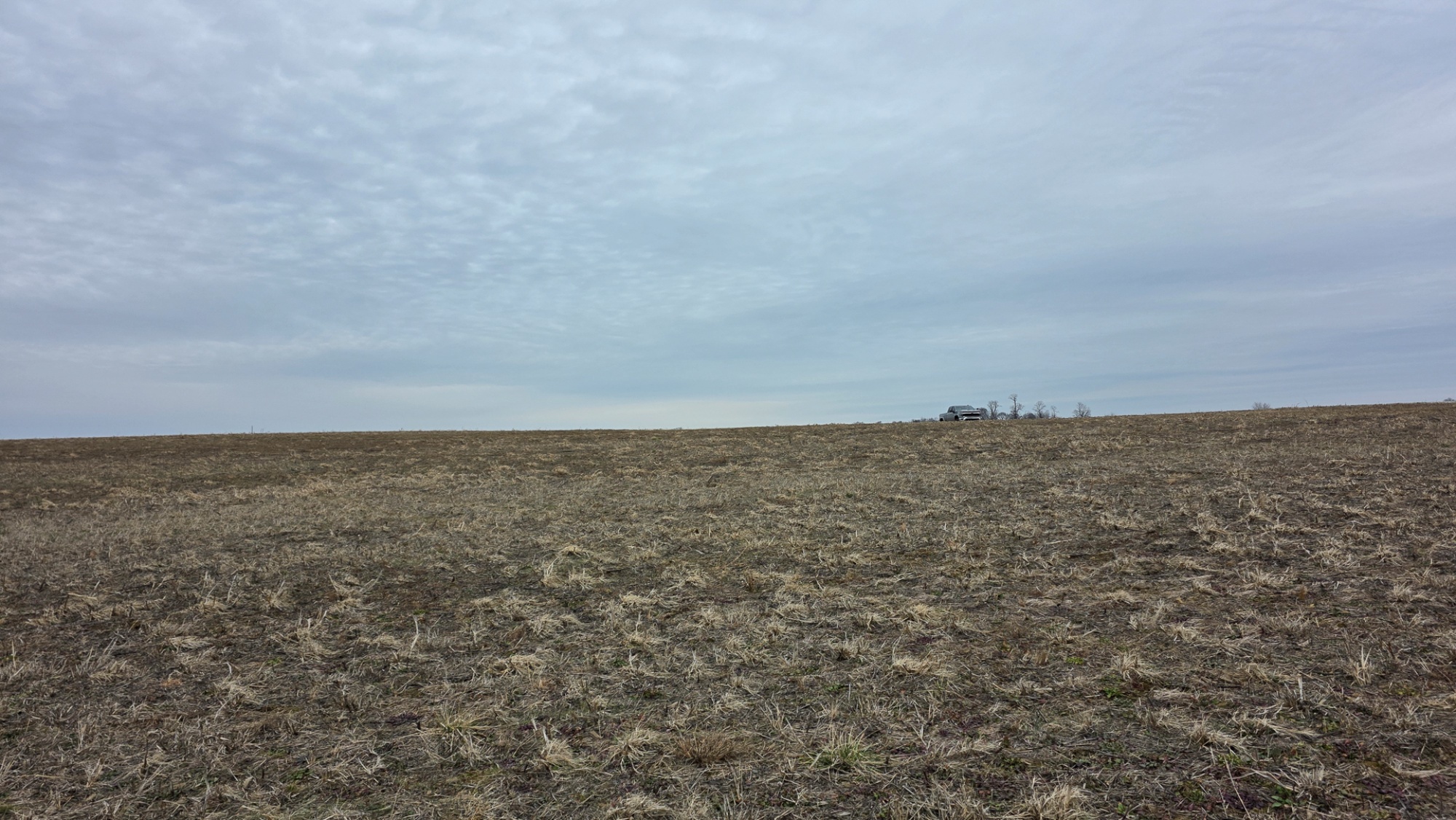
  • Gentle Topography
  • Get Around Quick with US 22 Just a Road Away
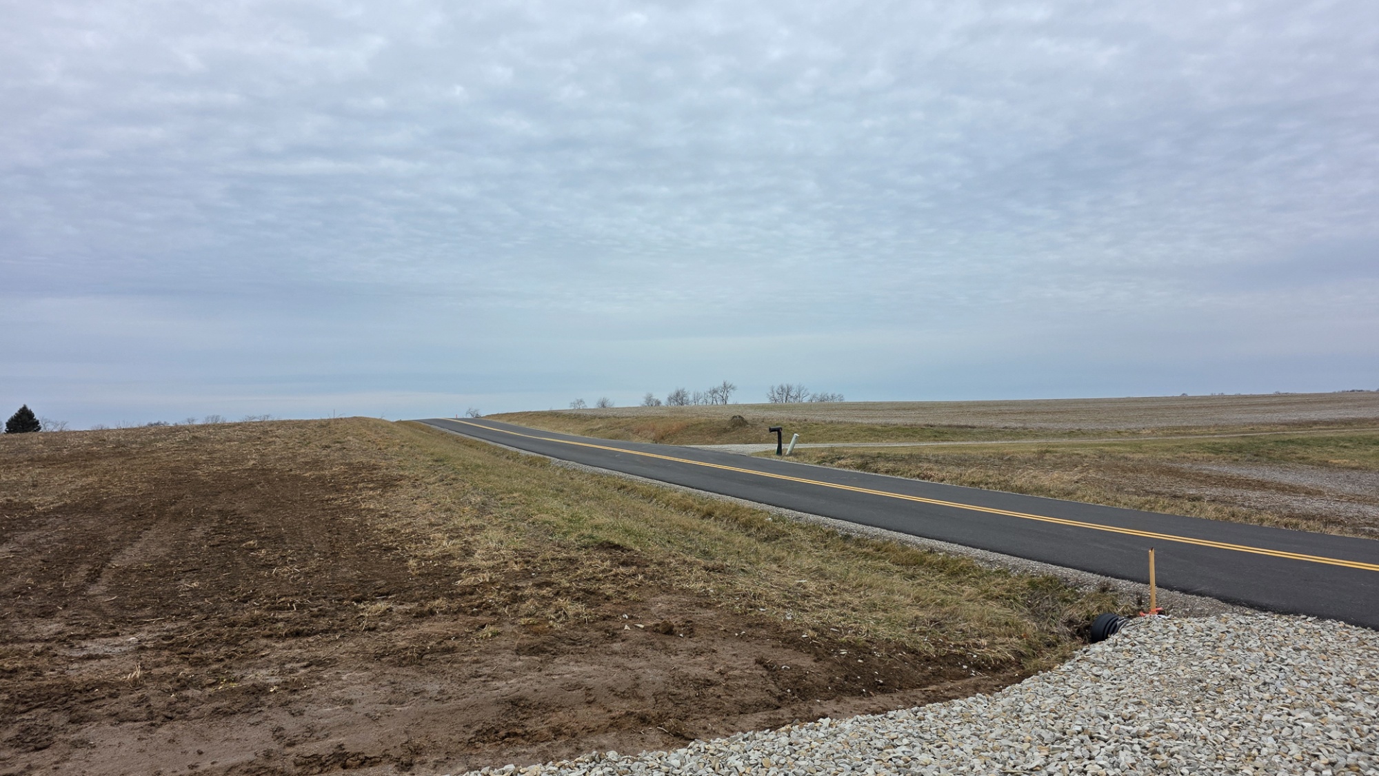
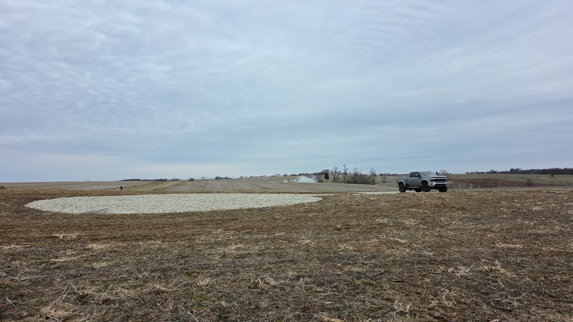
  • Shared Access Point, with Lot 4
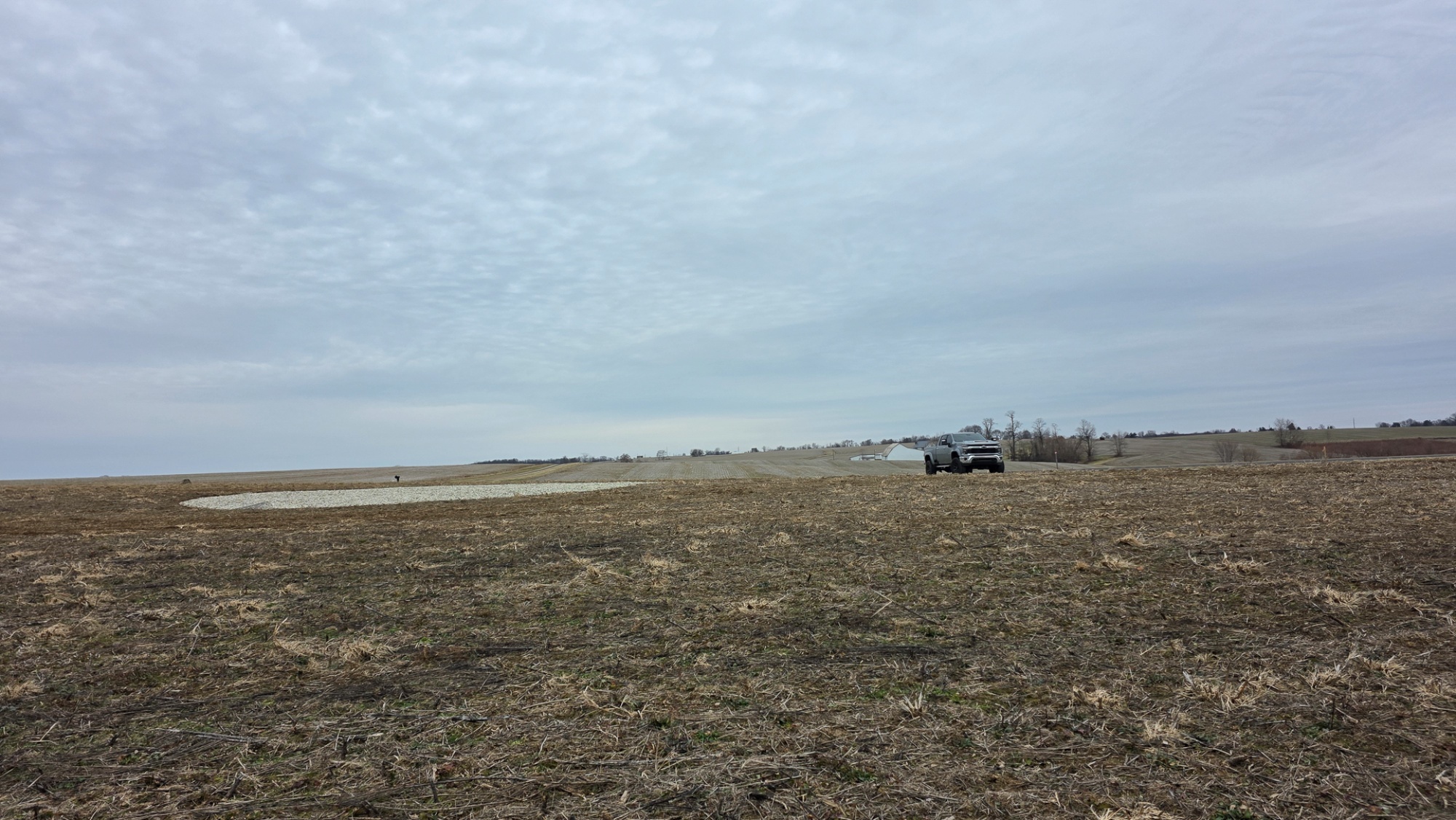
  • Private Gravel Driveway off of Shared Access
  • Beautiful Park-like Settings
  • 6 Miles from Perry State Forest, with 16 miles of ATV Trails and 8 miles of Bridal Trails
  • 13 Miles to Buckeye Lake. Go Swimming, Boating, or Fishing
  • 13 Miles away from Over 22,000 Acres of Wayne National Forest
  • 2.179 Acres – New Survey (Fully Approved)
  • Lot 3 at Sheridan Estates, Additional Acreage Available
  • Minor Deed Restrictions
  • AEP Power Available at the Road
  • Wells in the Area Range from: 63-430ft deep, producing 4-20gpm
  • Northern Local School District
  • Reading Township, Perry County
  • Part of Parcel # 29-000712-0000

    Sheridan Estates is located:
  • 1 Mile to Somerset
  • 9.5 Miles to New Lexington
  • 13 Miles to Buckeye Lake
  • 15 Miles to Lancaster
  • 20 Miles to Zanesville
  • 23 Miles to Logan
  • 38 Miles to Columbus

    0 Winegardner Rd, Somerset, OH 43783
    GPS Coordinates: 39.799237, -82.322118

    Google Map Link


  • A Countrytyme advantage

    Take the property lines into the field.

    On your phone, tap Walk property lines, allow your location when asked, and follow the blue dot in Tract Explorer to see your position in relation to the mapped boundary while you explore.

    Walk property lines

    Property photos