Walk this property with confidence.
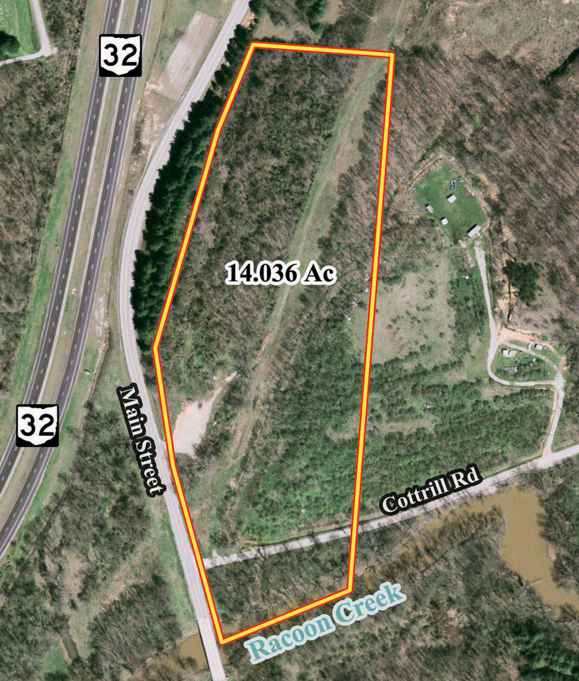
Use GPS directions to reach the tract. Then open the property lines on your phone and follow your blue location dot as you walk, so you can see where you are in relation to the boundaries.
Interactive property map
See the land before you visit.
Switch aerial, topographic, soil, water, contour, and terrain layers while the mapped project boundary stays visible.
Property Documents
Property Description
Radcliff Raccoon CreekHome/Cabin Site or Recreational Retreat
OH-160 Rd, Vinton Twp, Vinton Co, Ohio
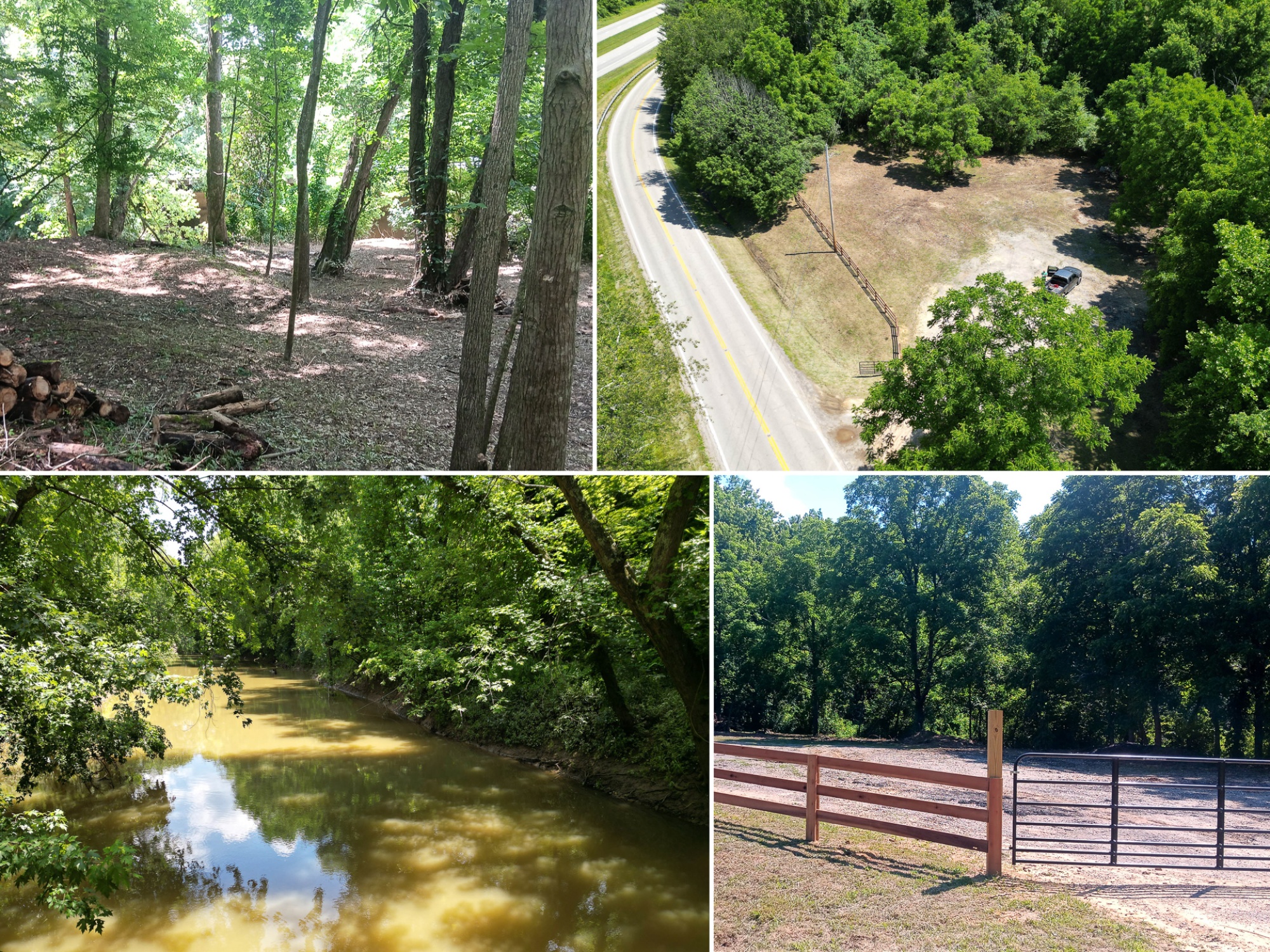
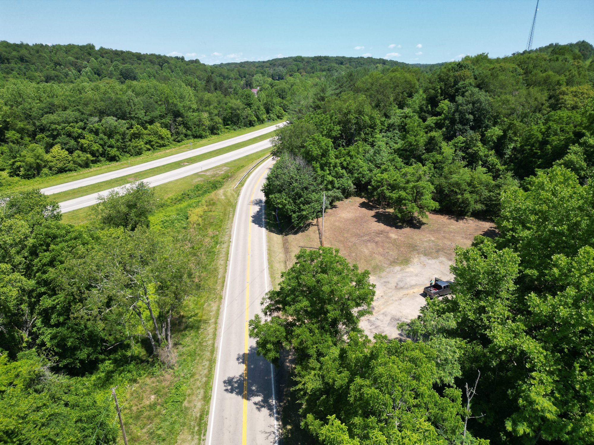
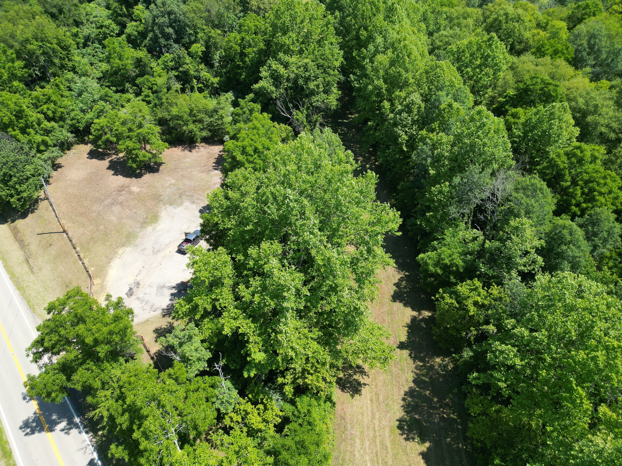
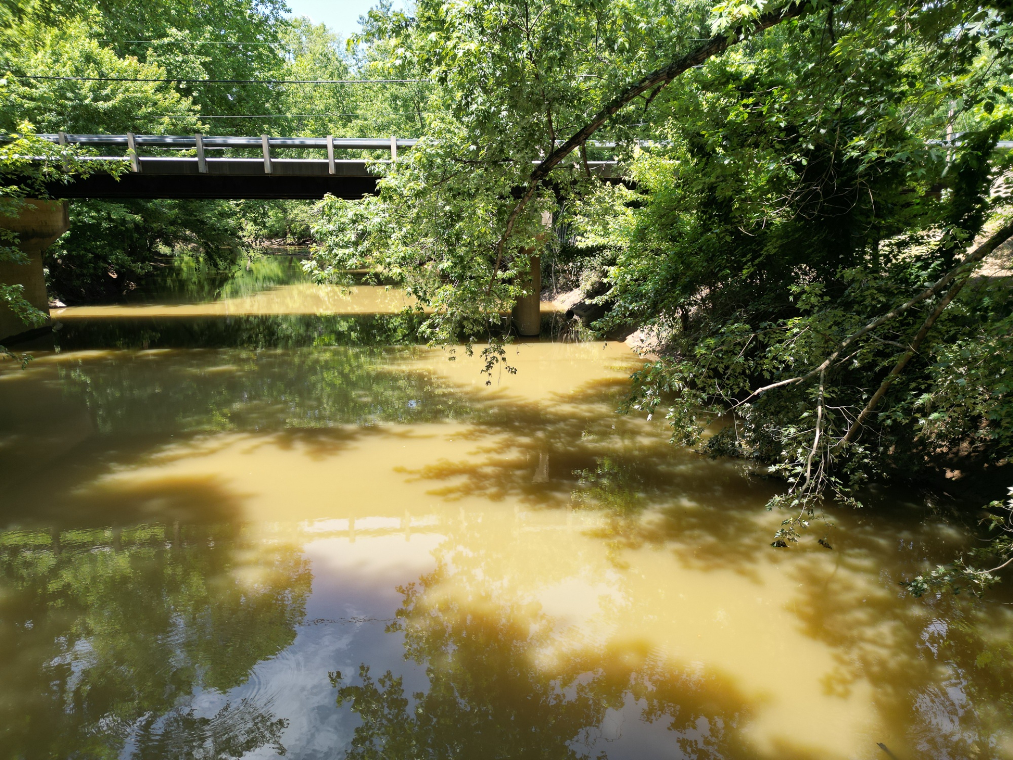
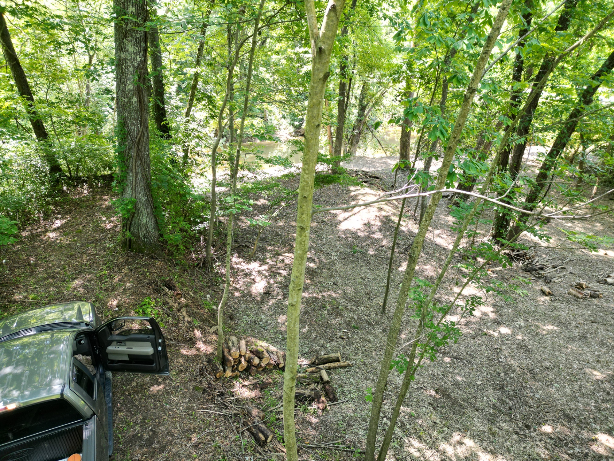
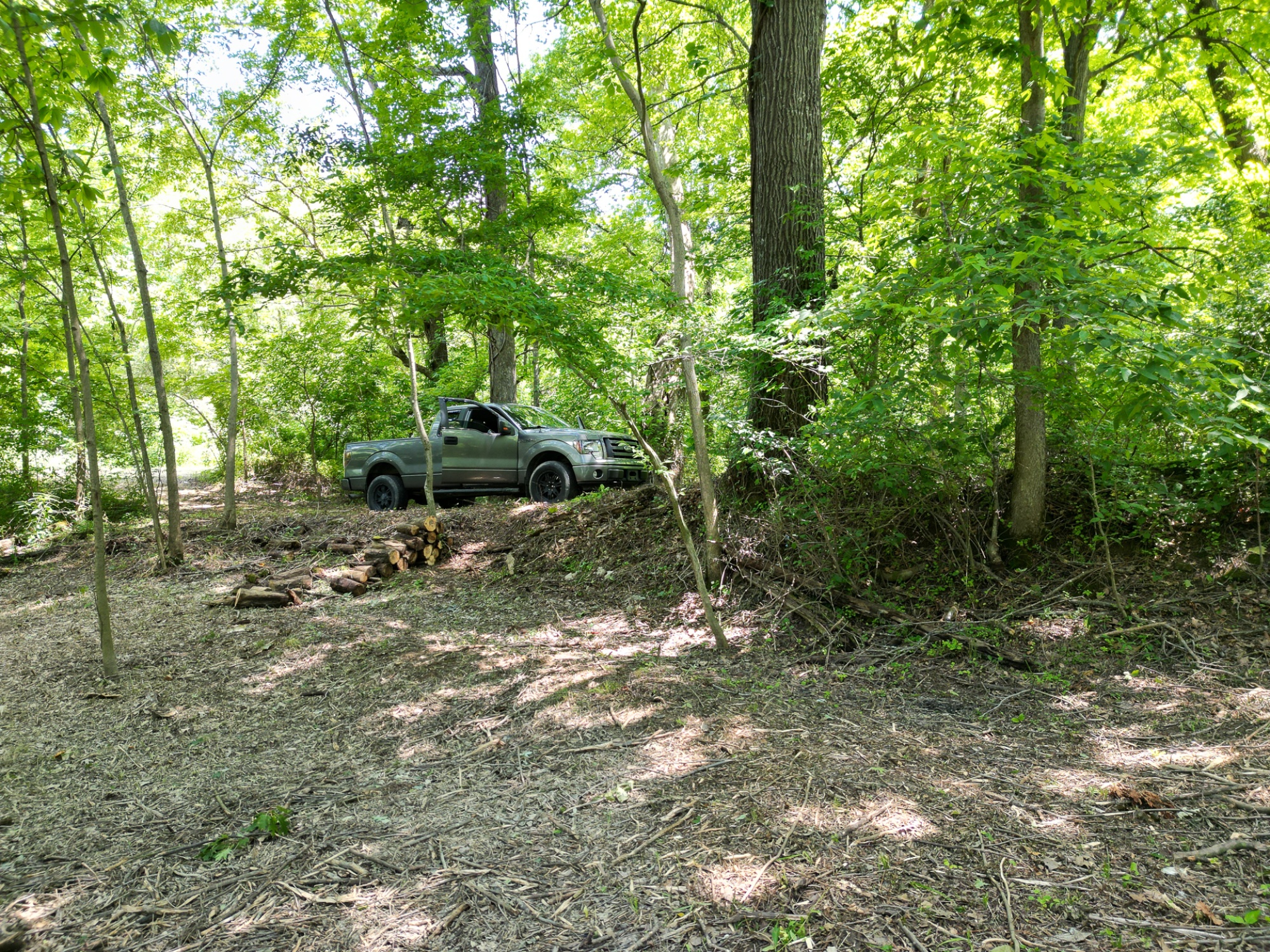
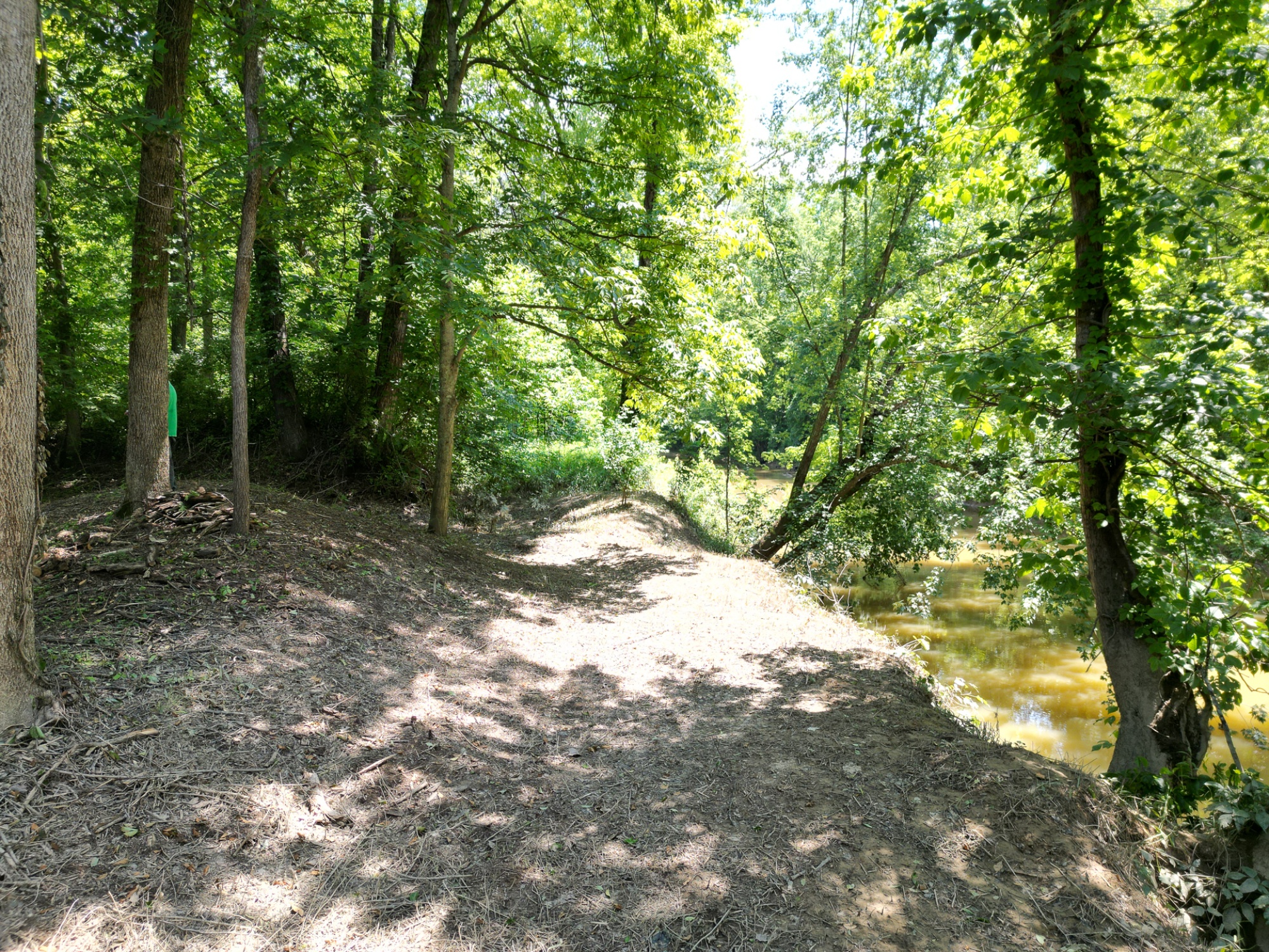
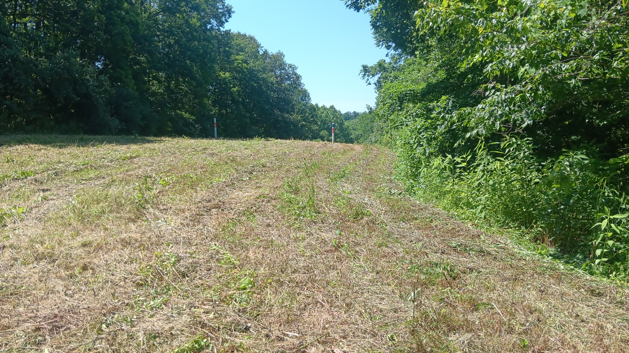
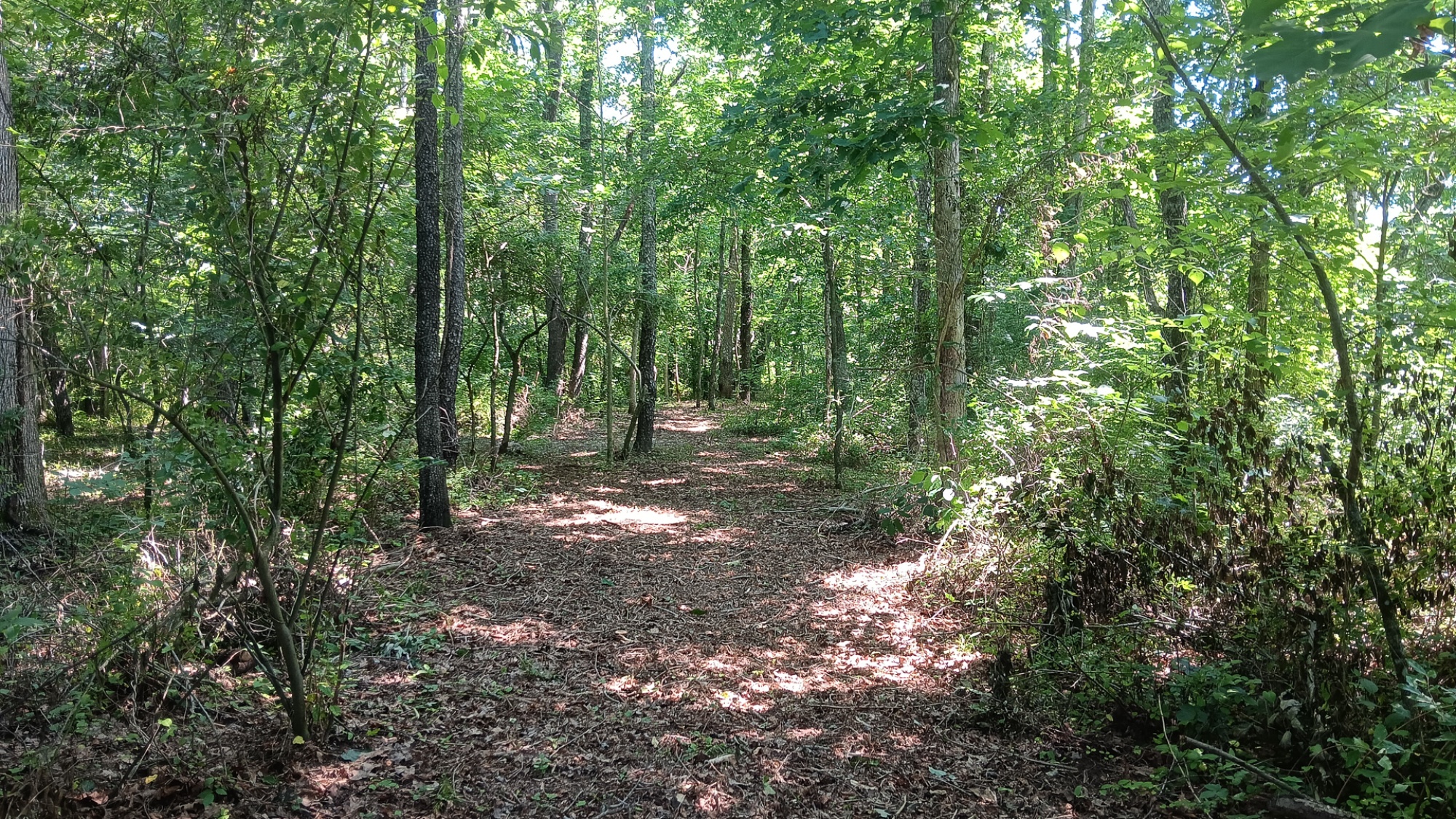
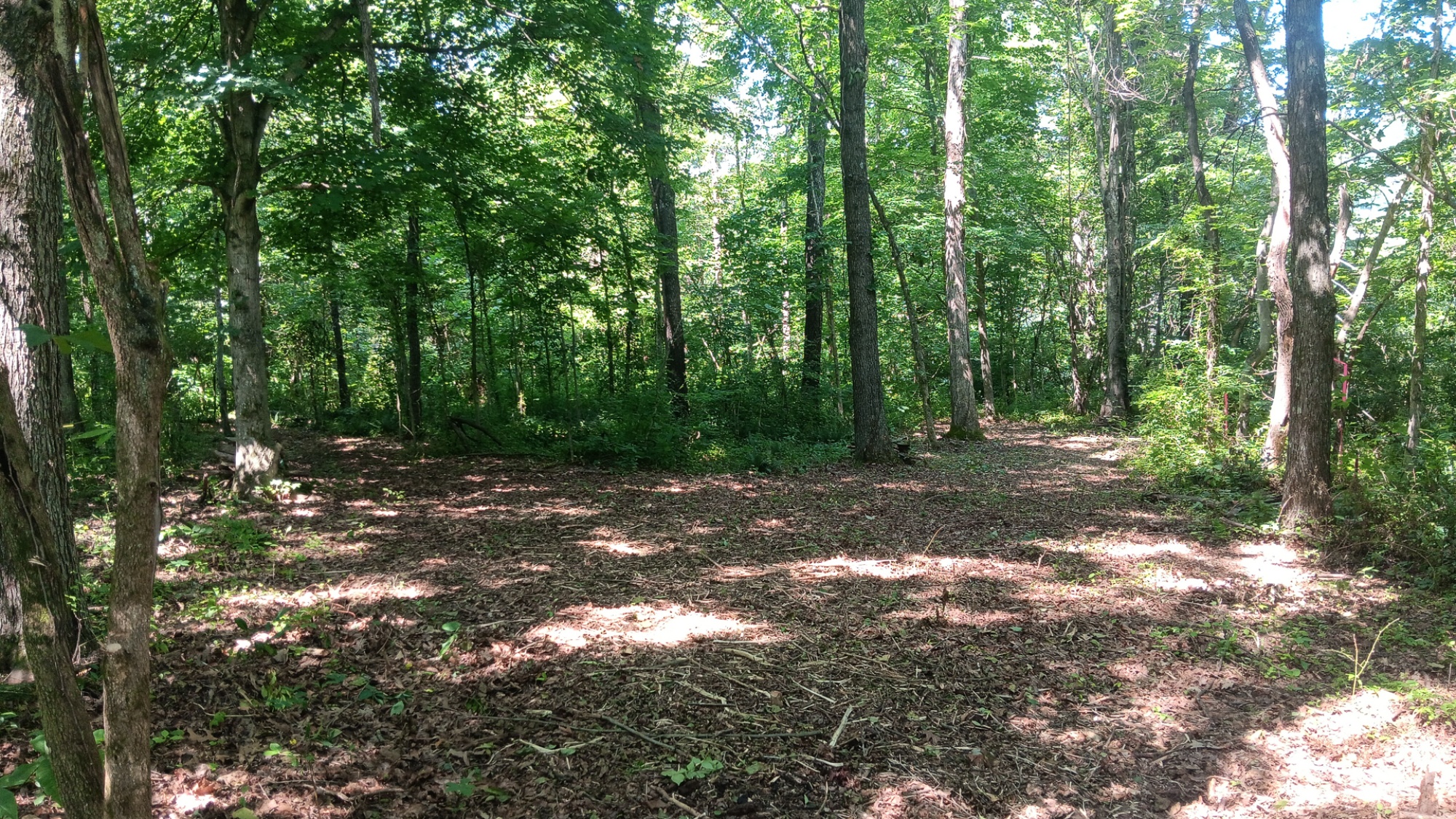
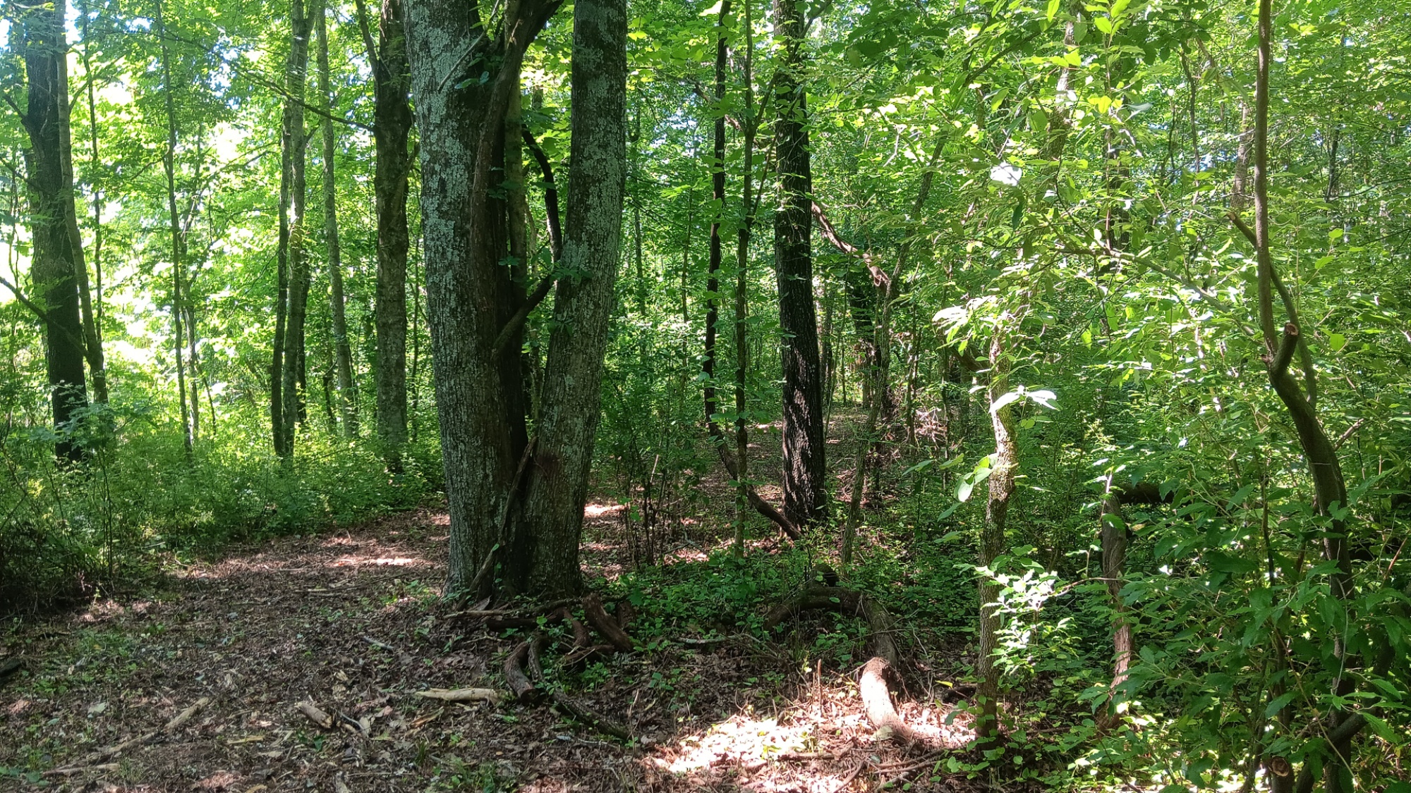
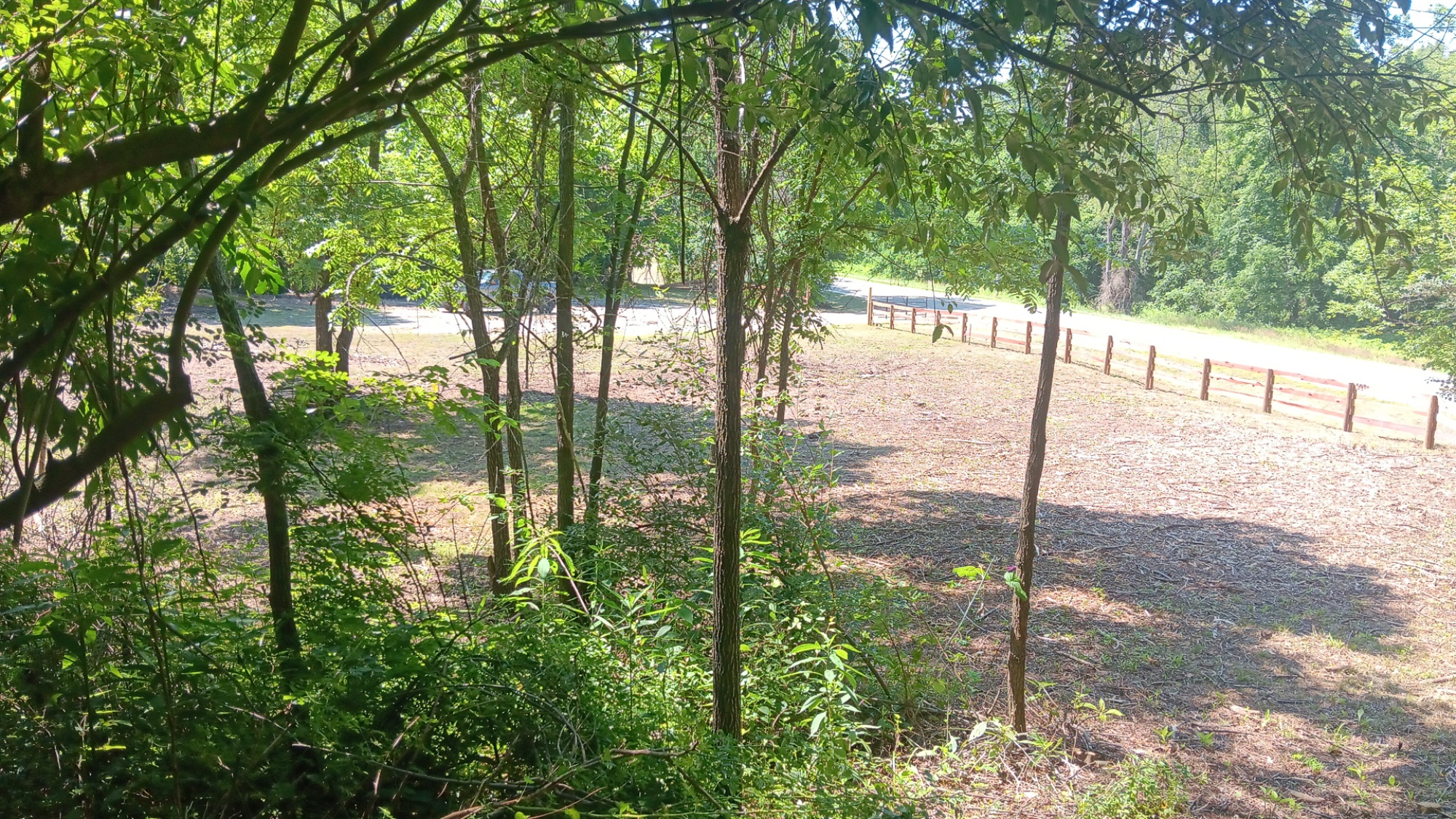
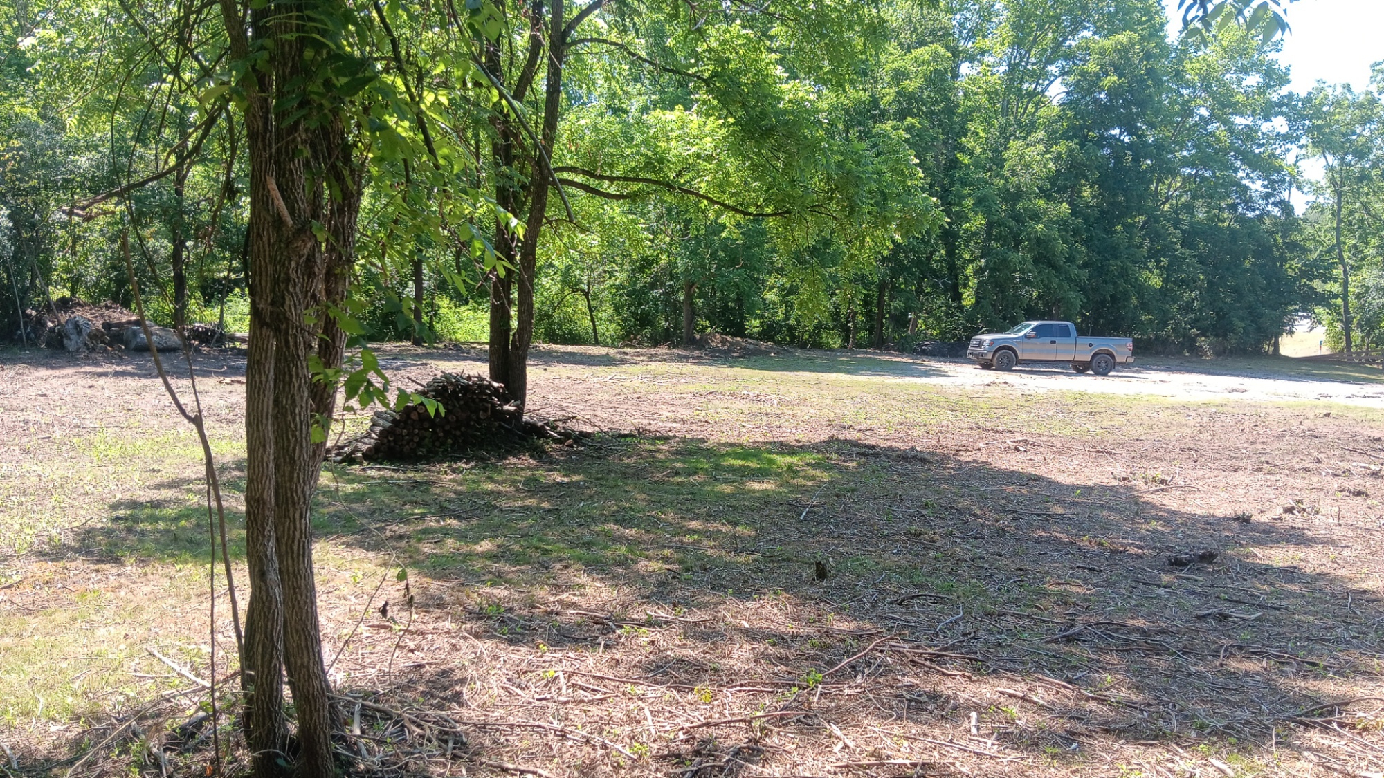
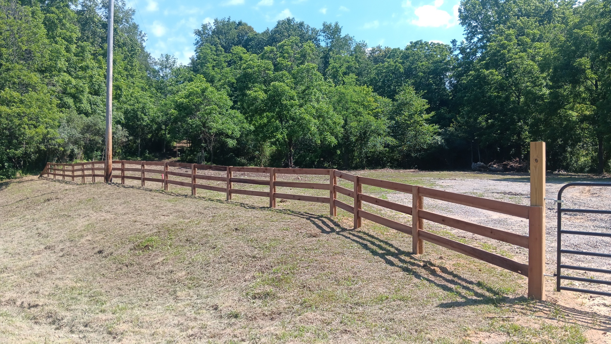
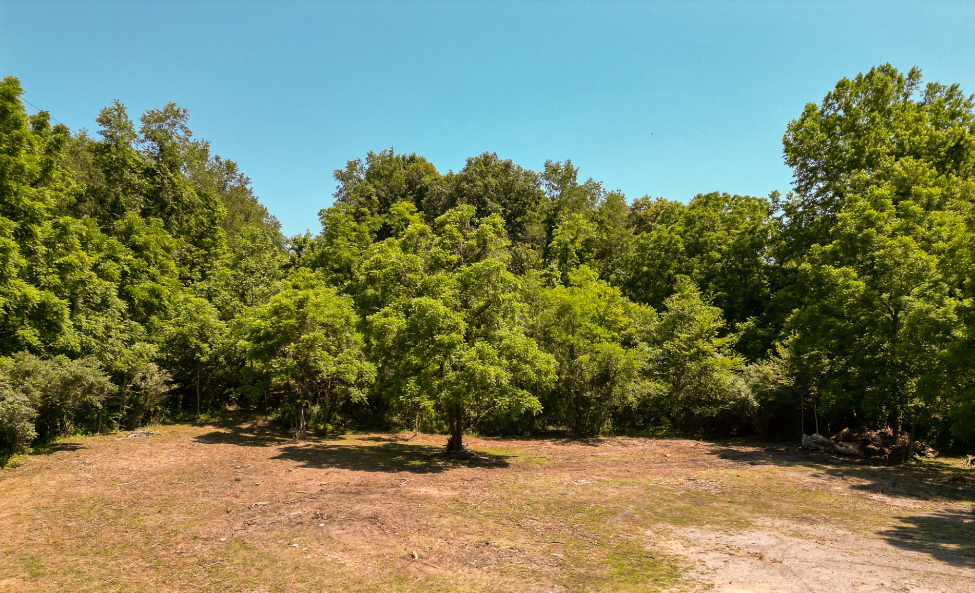
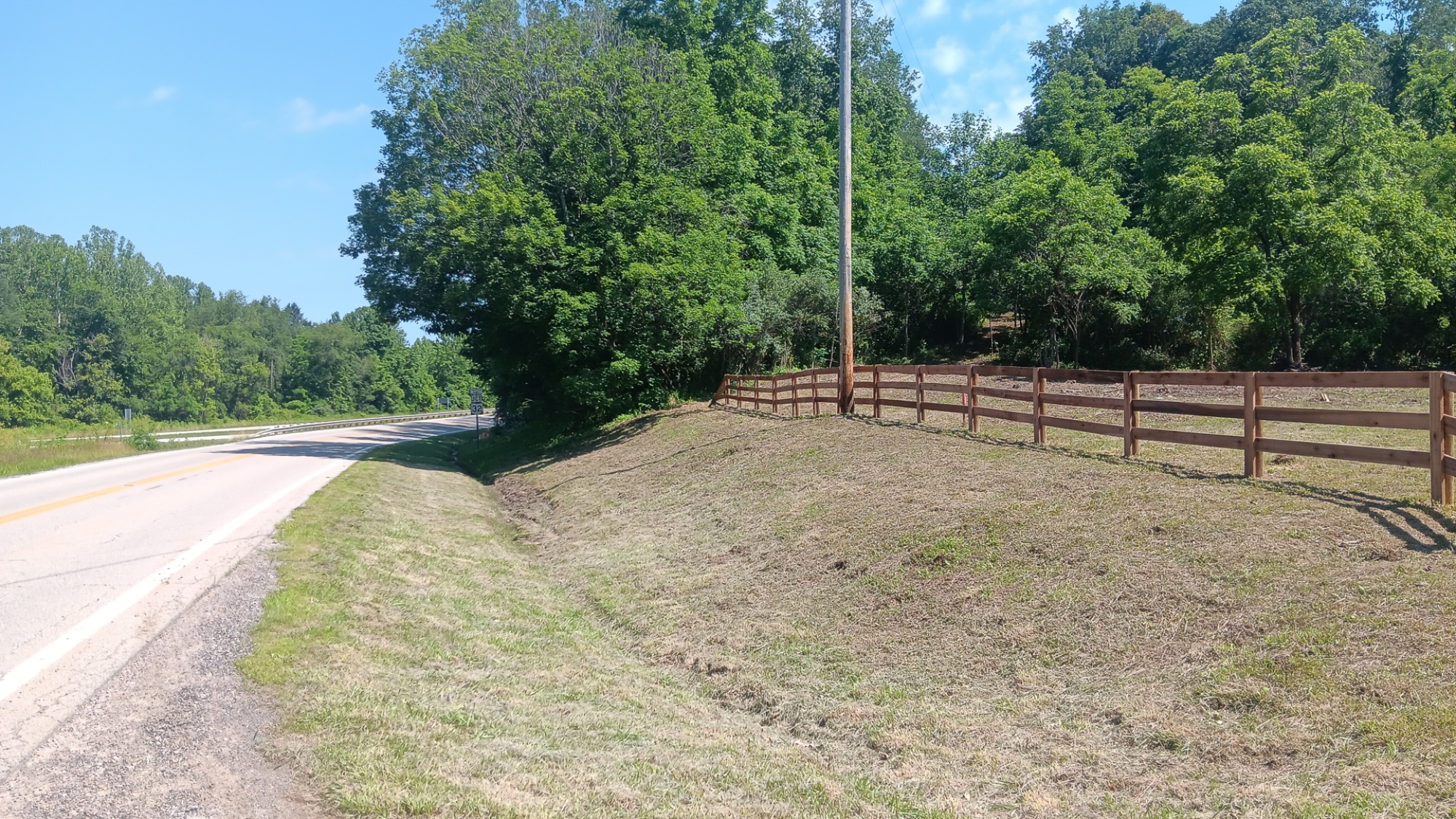
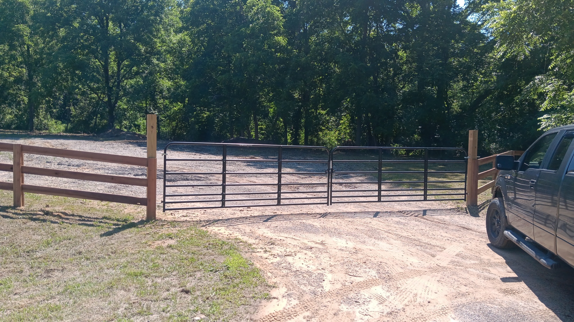
This 14.036-acre property on Raccoon Creek has a beautiful mix of open ground and mature woods, with a clean, welcoming entrance right off the paved road. A new gated gravel driveway opens into a wide, level destination area surrounded by trees, giving you a ready-made setting for a country home, cabin, or weekend getaway. The gentle ground near the road and open space around the drive make the property feel inviting from the moment you pull in, while the woods beyond add privacy and a peaceful country backdrop. The real highlight is the beautiful section of Raccoon Creek. The park-like setting around the water is peaceful and inviting, with room to fish, relax under the trees, or spend an afternoon with family and friends. An additional pull-off near the creek makes it easy to get down to the water, while trails through the woods give you plenty of room to walk, explore, and enjoy the outdoors. You get the quiet country atmosphere without being hard to reach. The property has paved frontage on two roads and a convenient location for getting around quickly. Buckeye Rural Electric is on the property, and the Leading Creek Water tap is already installed. With no zoning, no deed restrictions, a new survey, and oil and gas rights transferring with no active leases, this is a beautiful piece of Vinton County ready for whatever you have been dreaming about.
Jackson Oaks is Located:
OH-160, Wikesville, OH 45695
GPS Coordinates: 39.131996, -82.372422
Google Map Link
A Countrytyme advantage
Take the property lines into the field.
On your phone, tap Walk property lines, allow your location when asked, and follow the blue dot in Tract Explorer to see your position in relation to the mapped boundary while you explore.
Walk property linesProperty photos