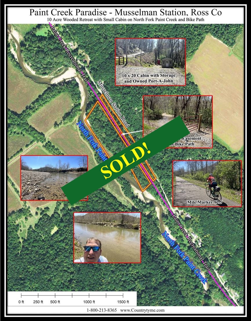
Paint Creek Paradise
10 Ac Wooded Retreat with Small Cabin
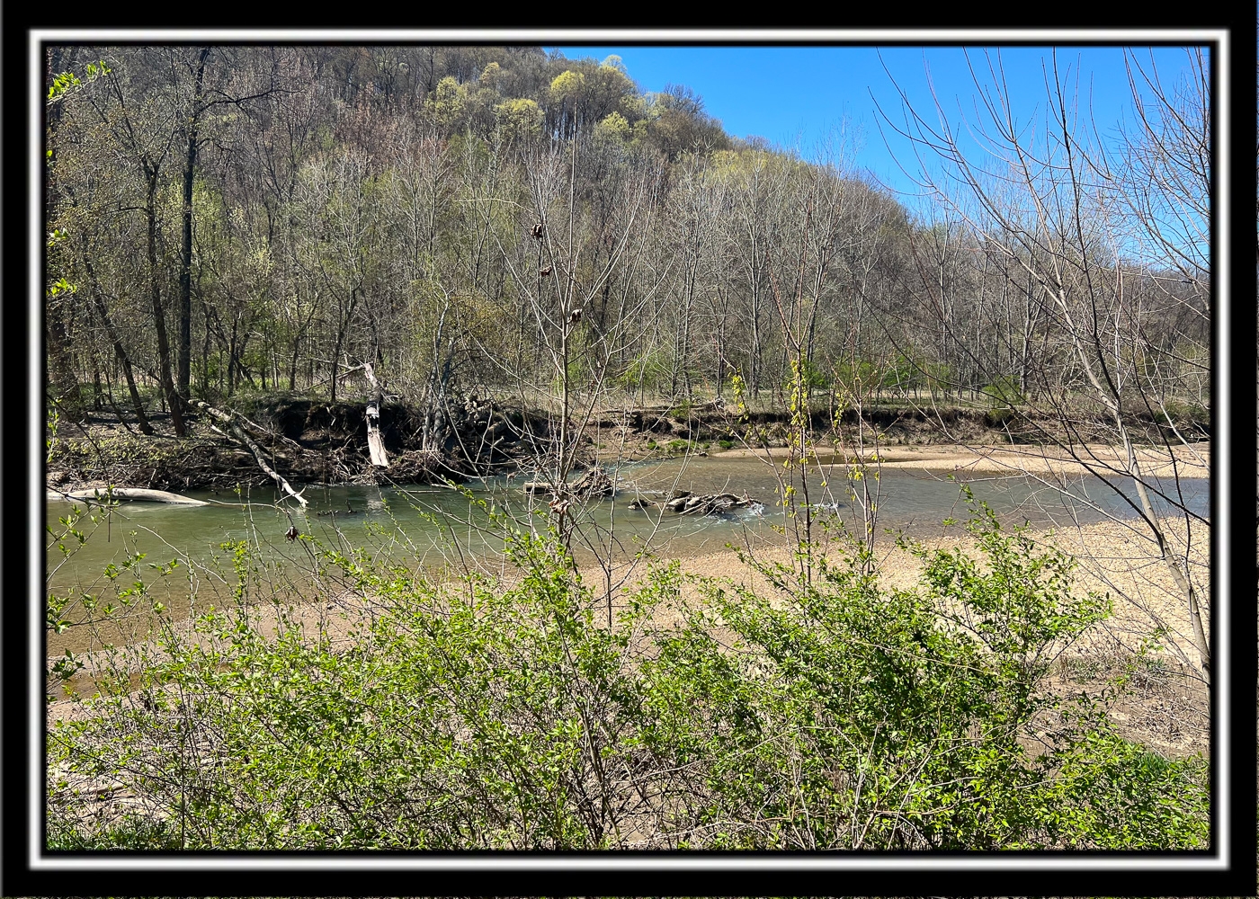
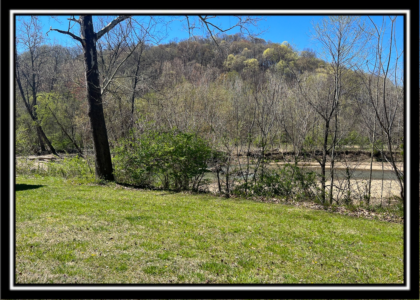
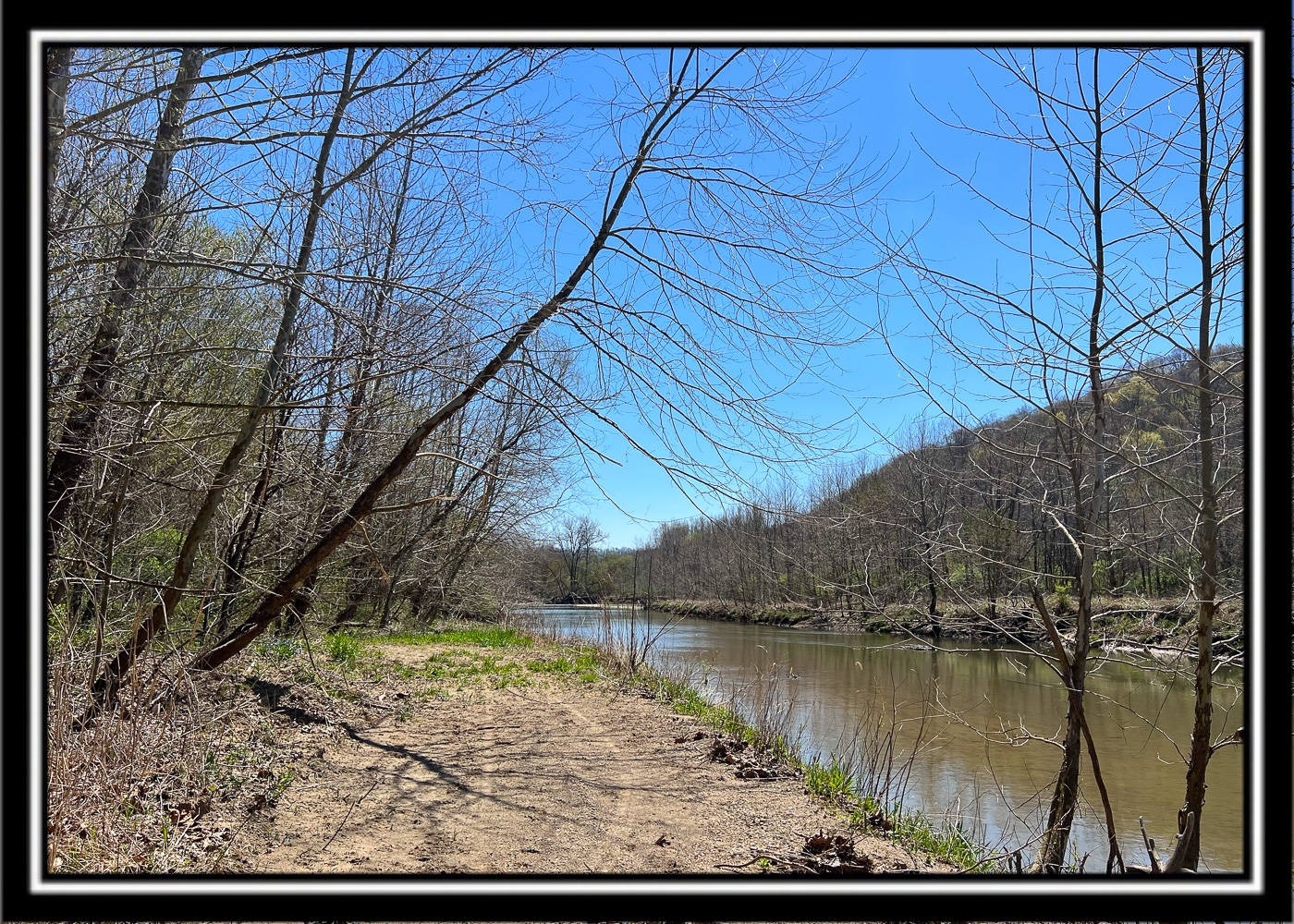
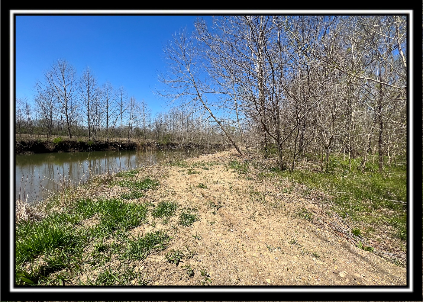
On N Fork Paint Creek and Bike Path
North Musselman Station Rd, Ross Co, OH
Own Your own Park less than 1 hour from Columbus
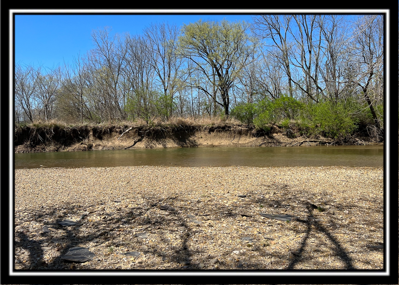
On North Fork Paint
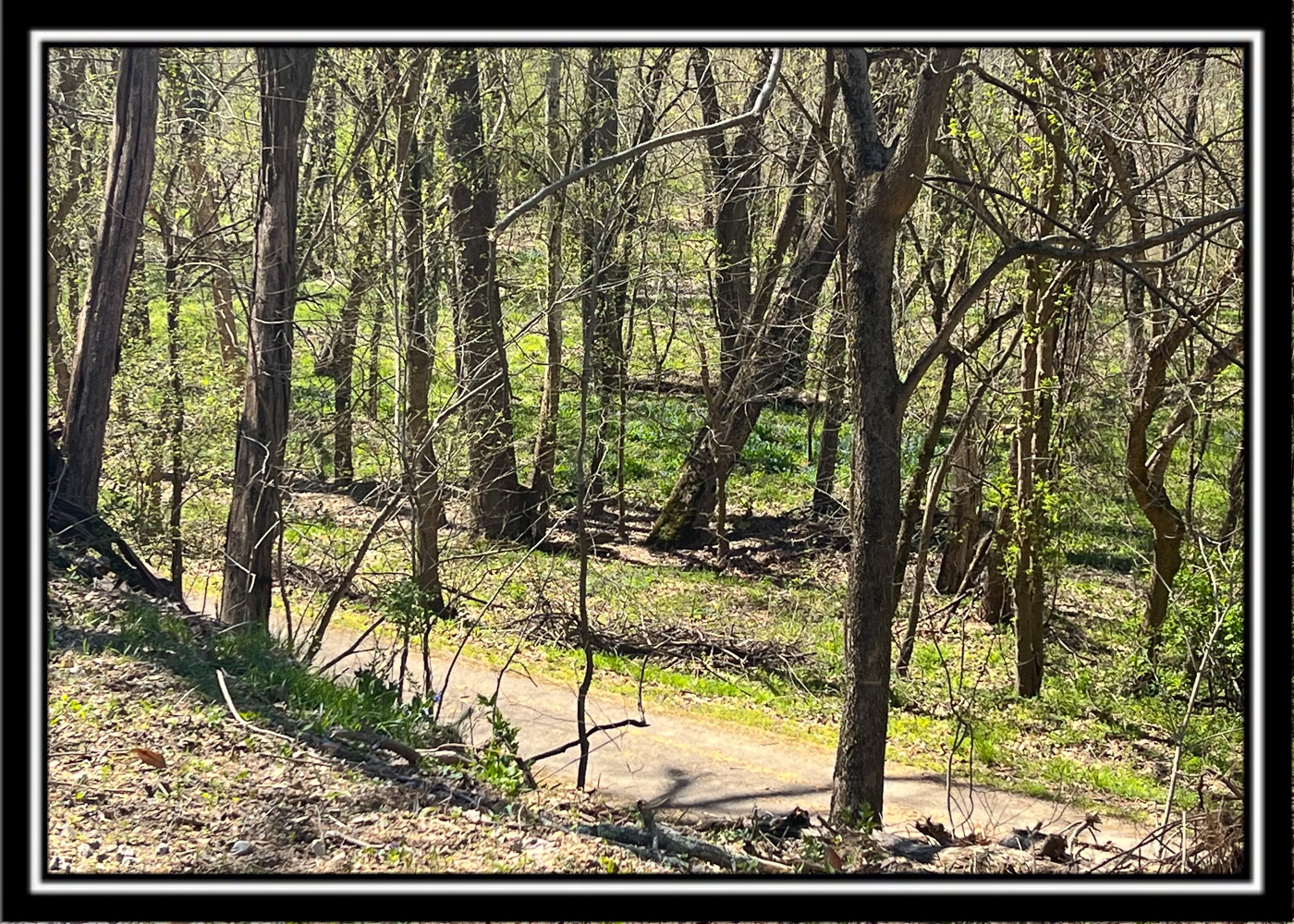
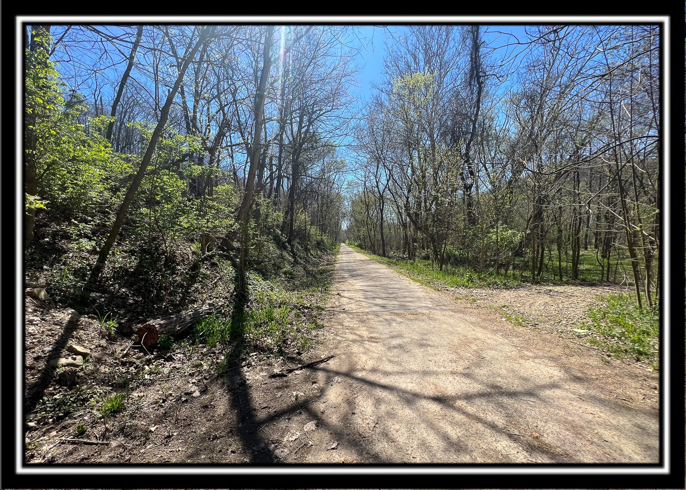
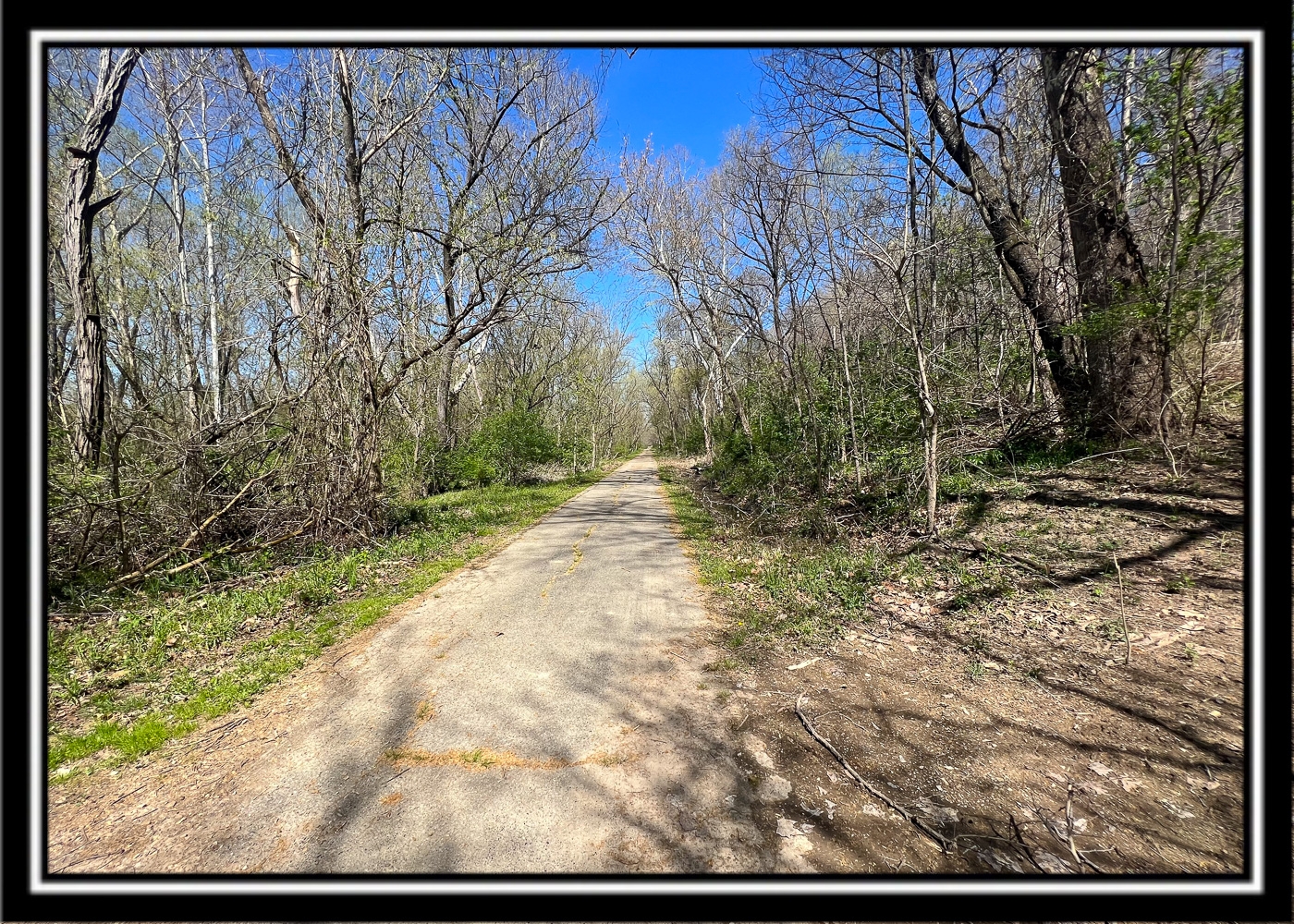
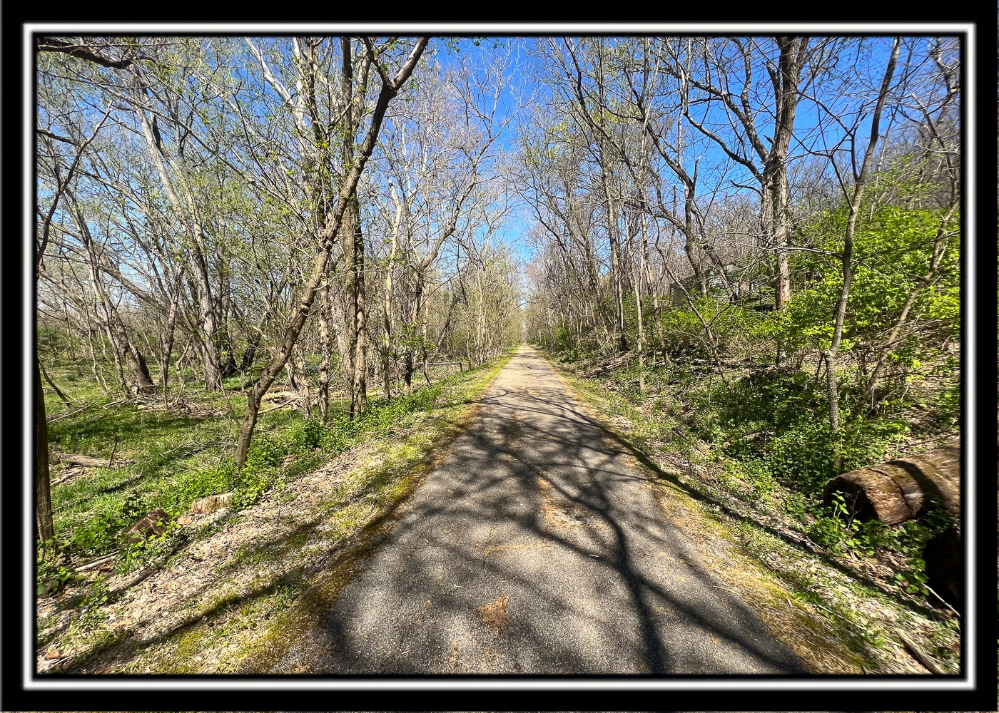
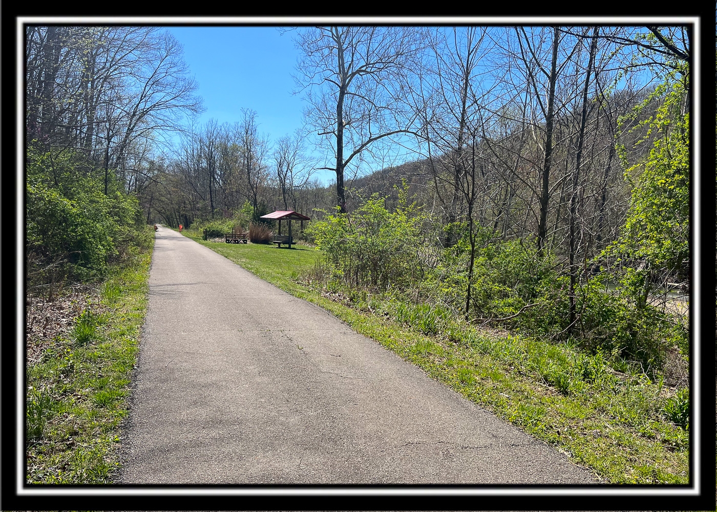
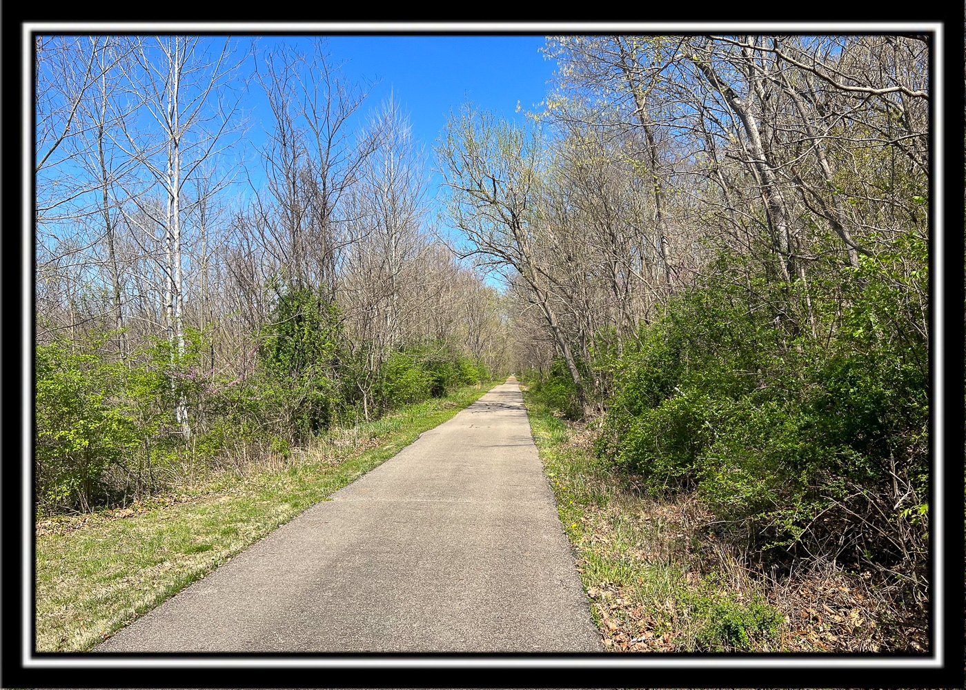
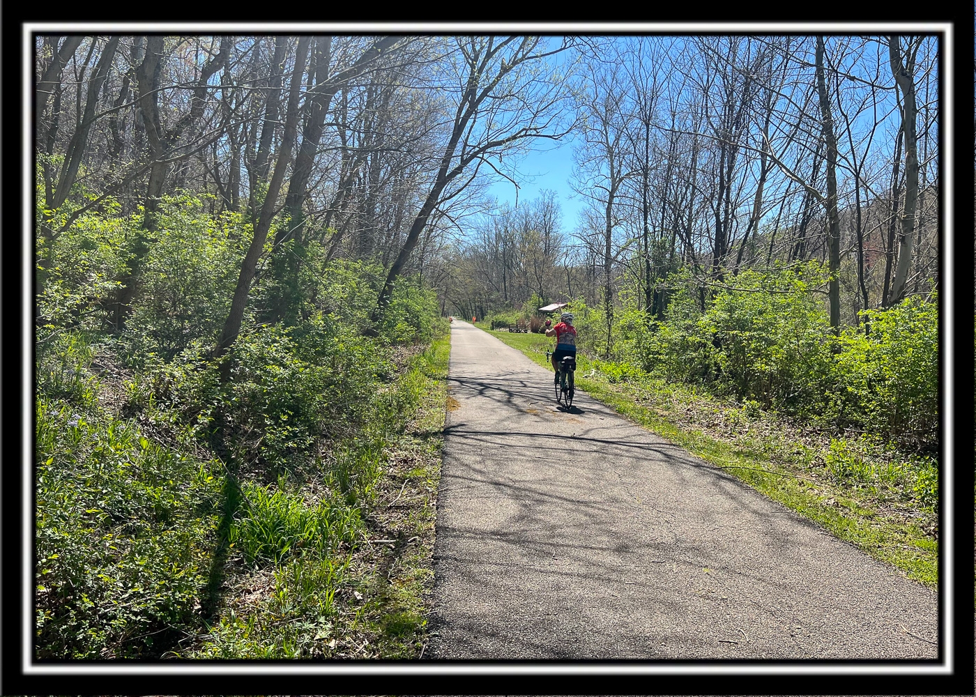
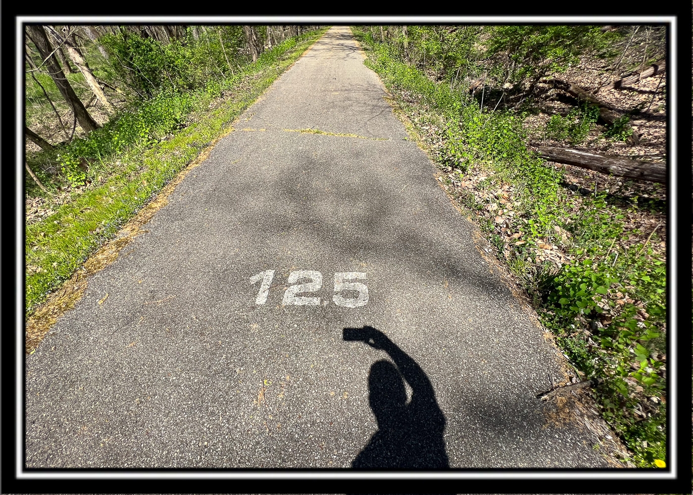
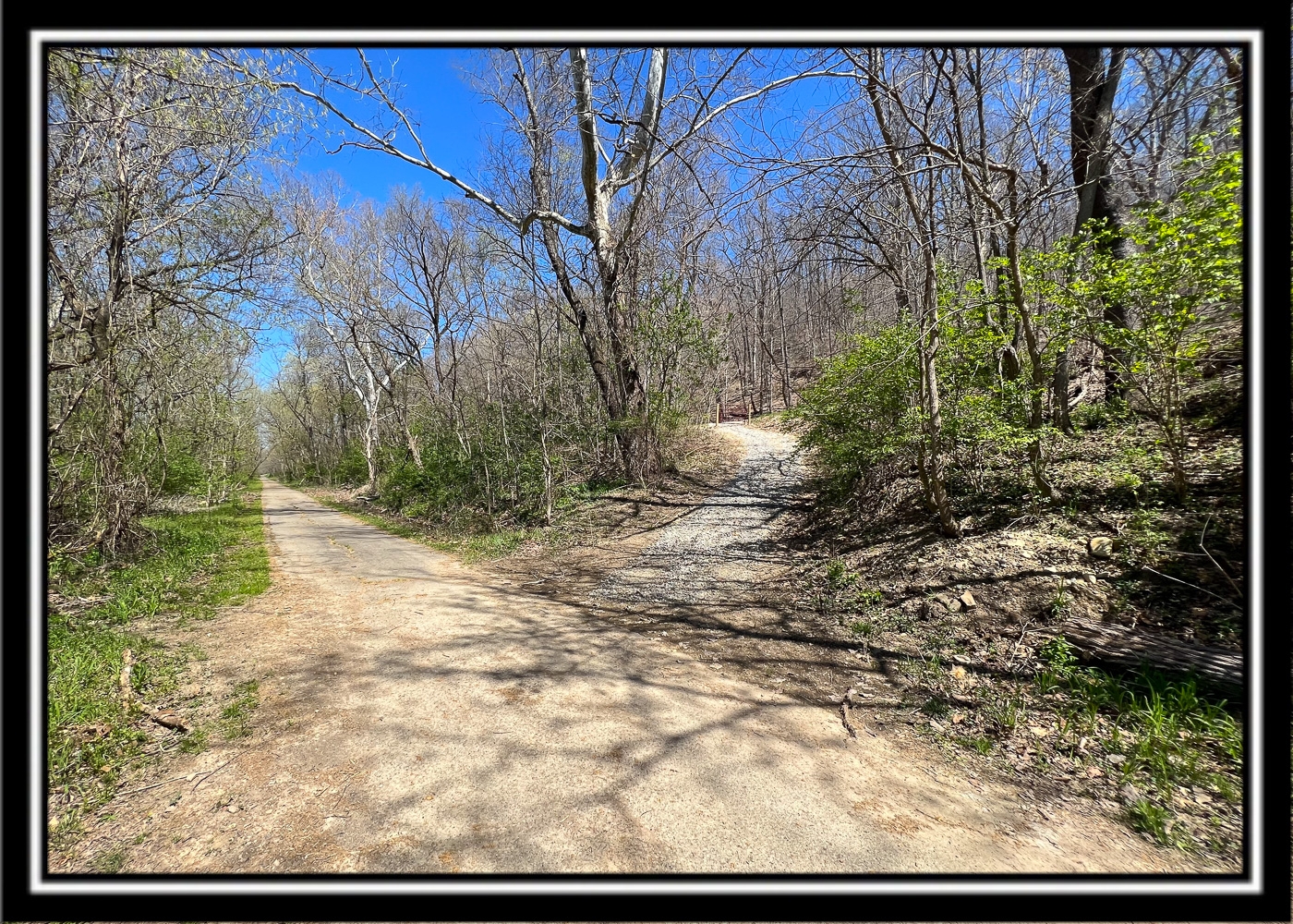
On Paint Creek Recreation Trail (Bike Path)
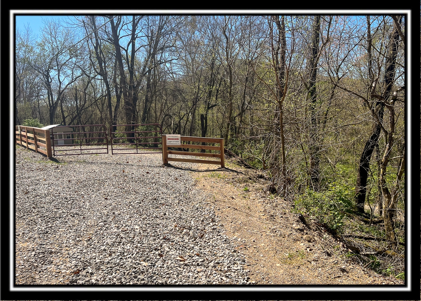
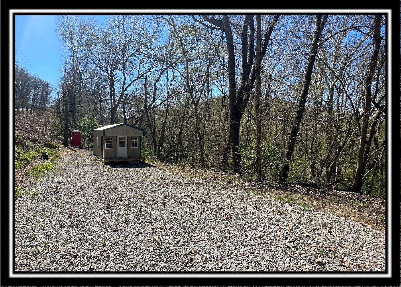
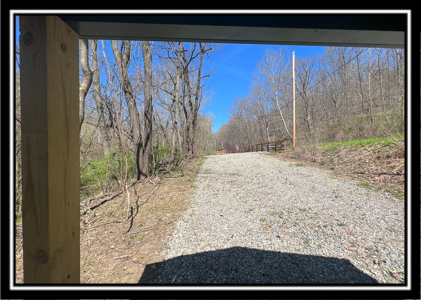
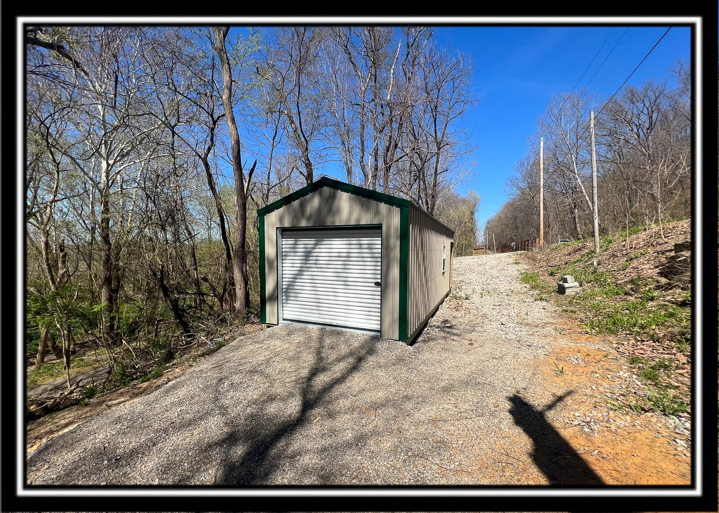
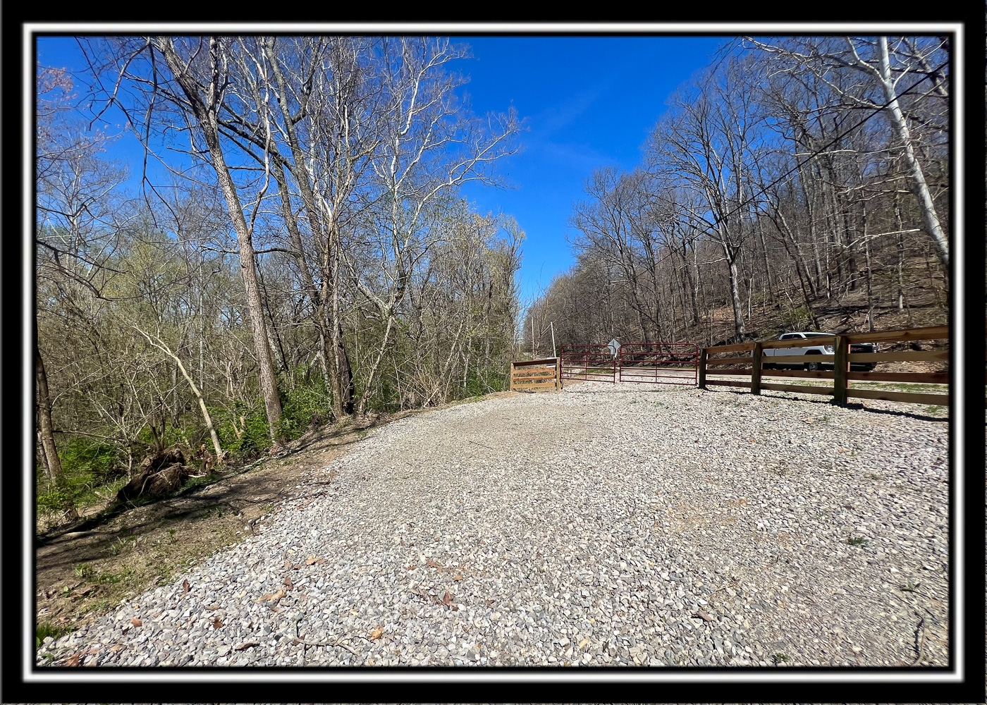
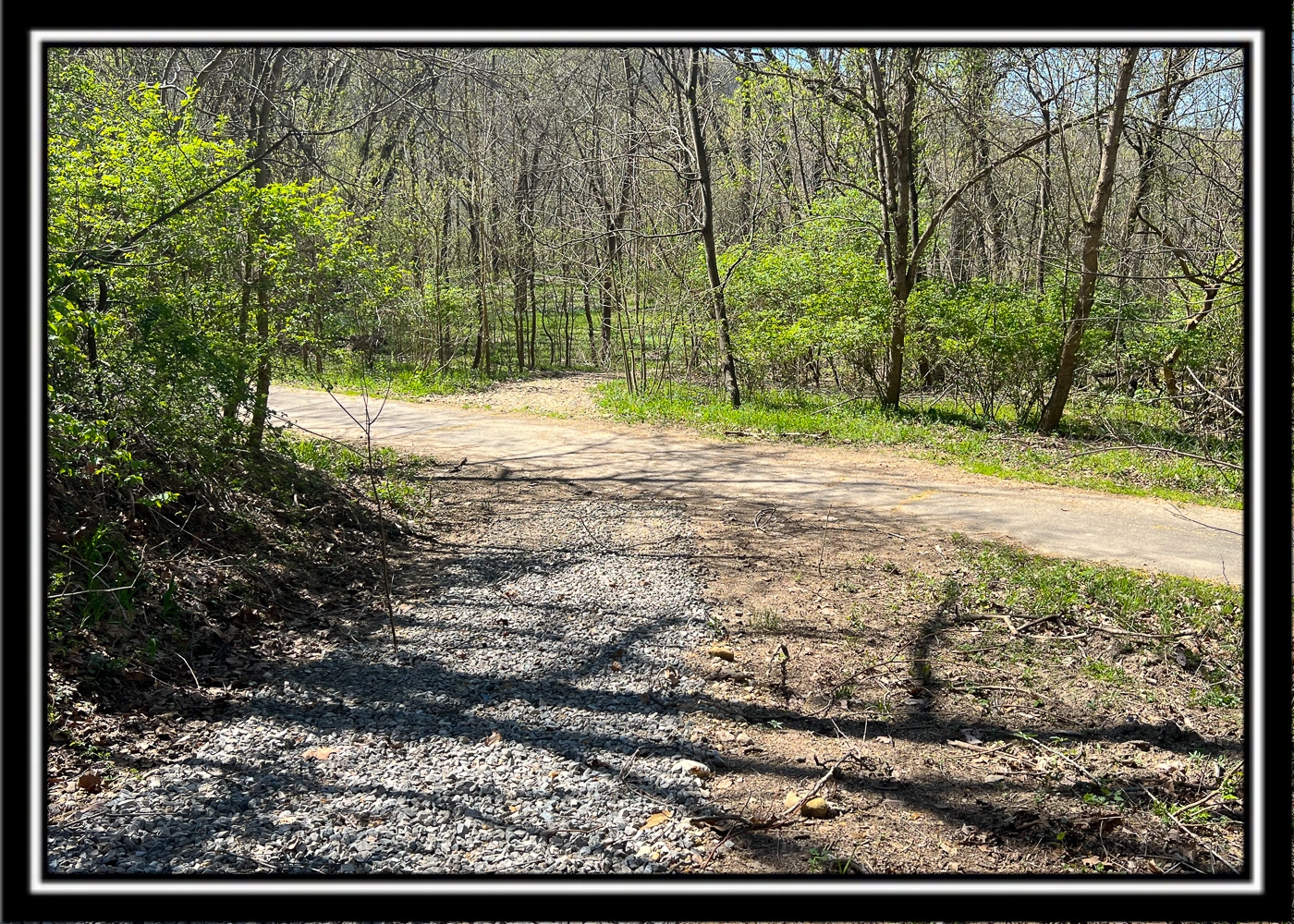
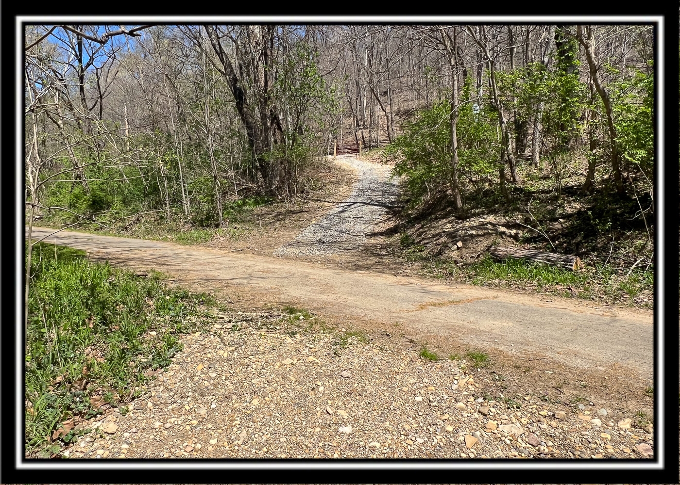
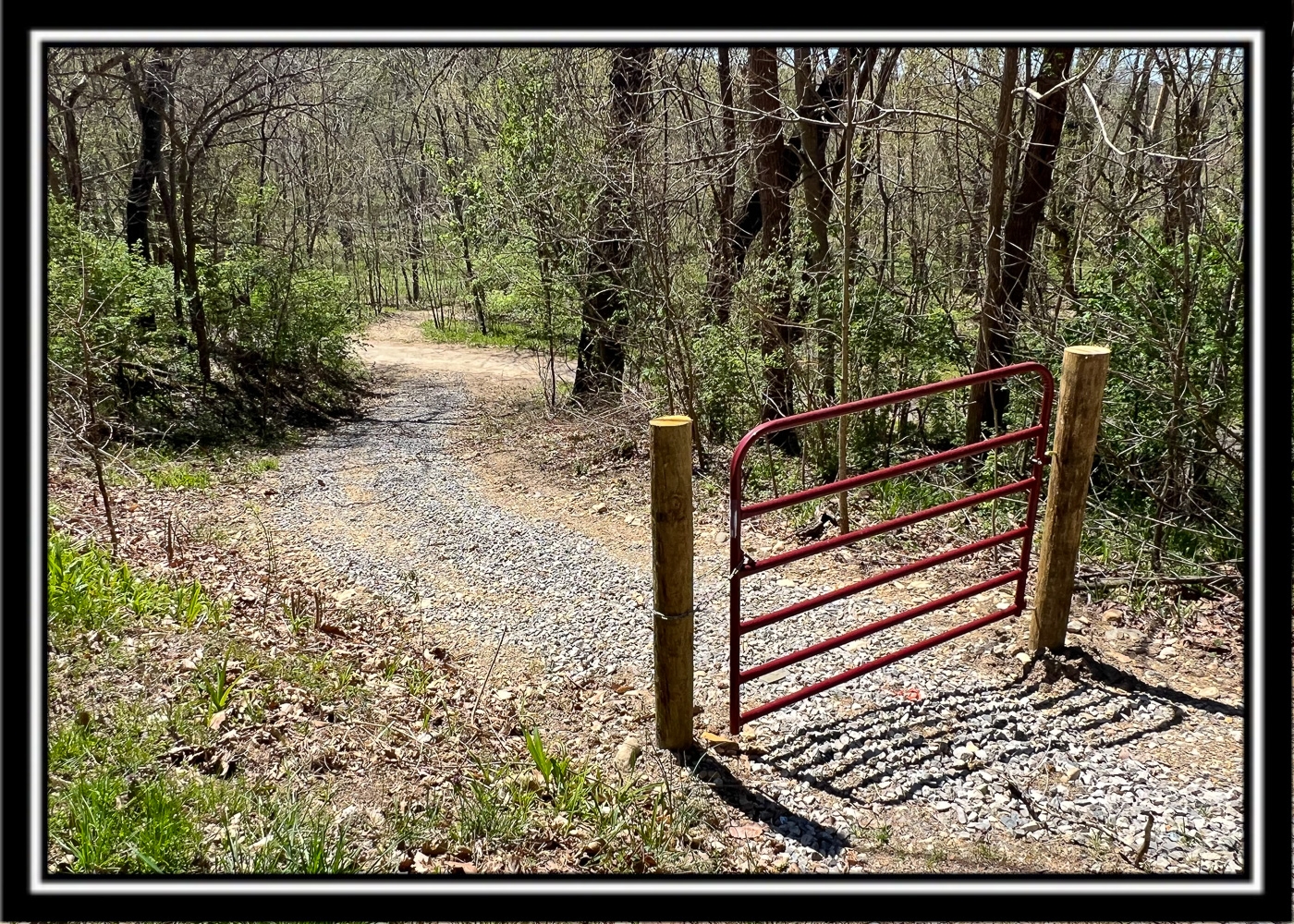
New Gated Gravel Driveway with Large Gravel Parking Area
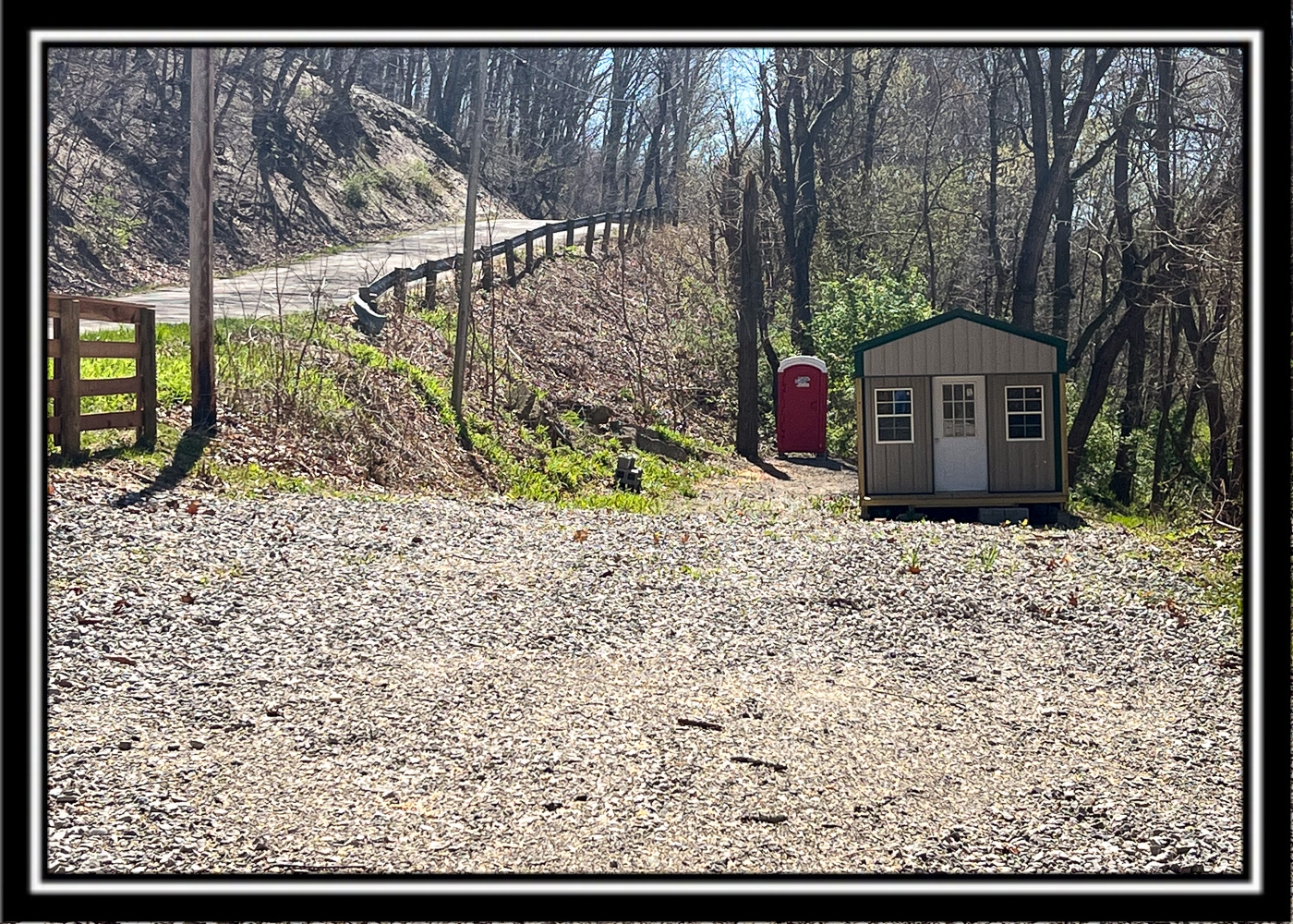
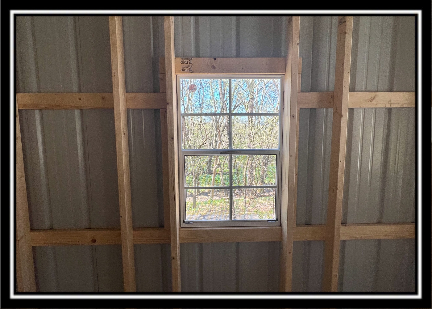
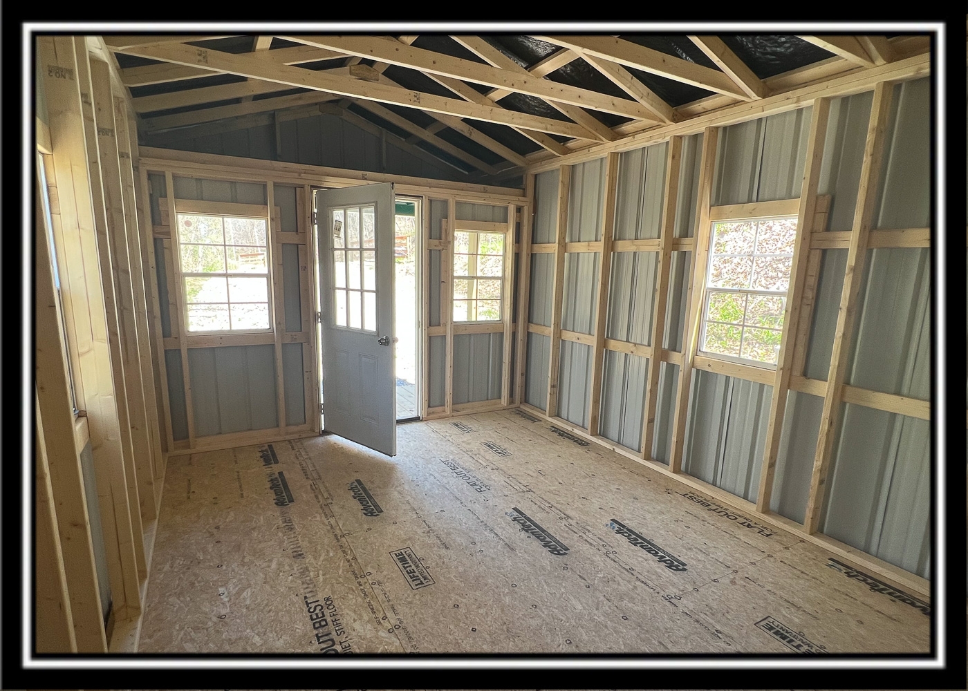
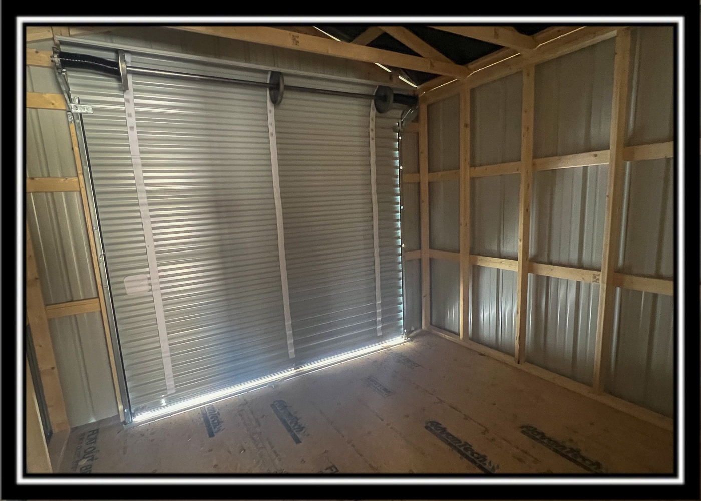
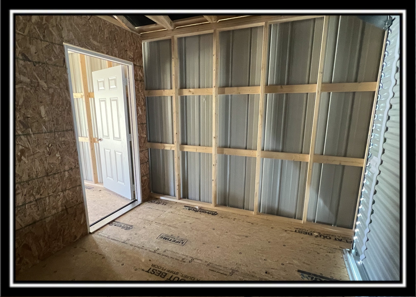
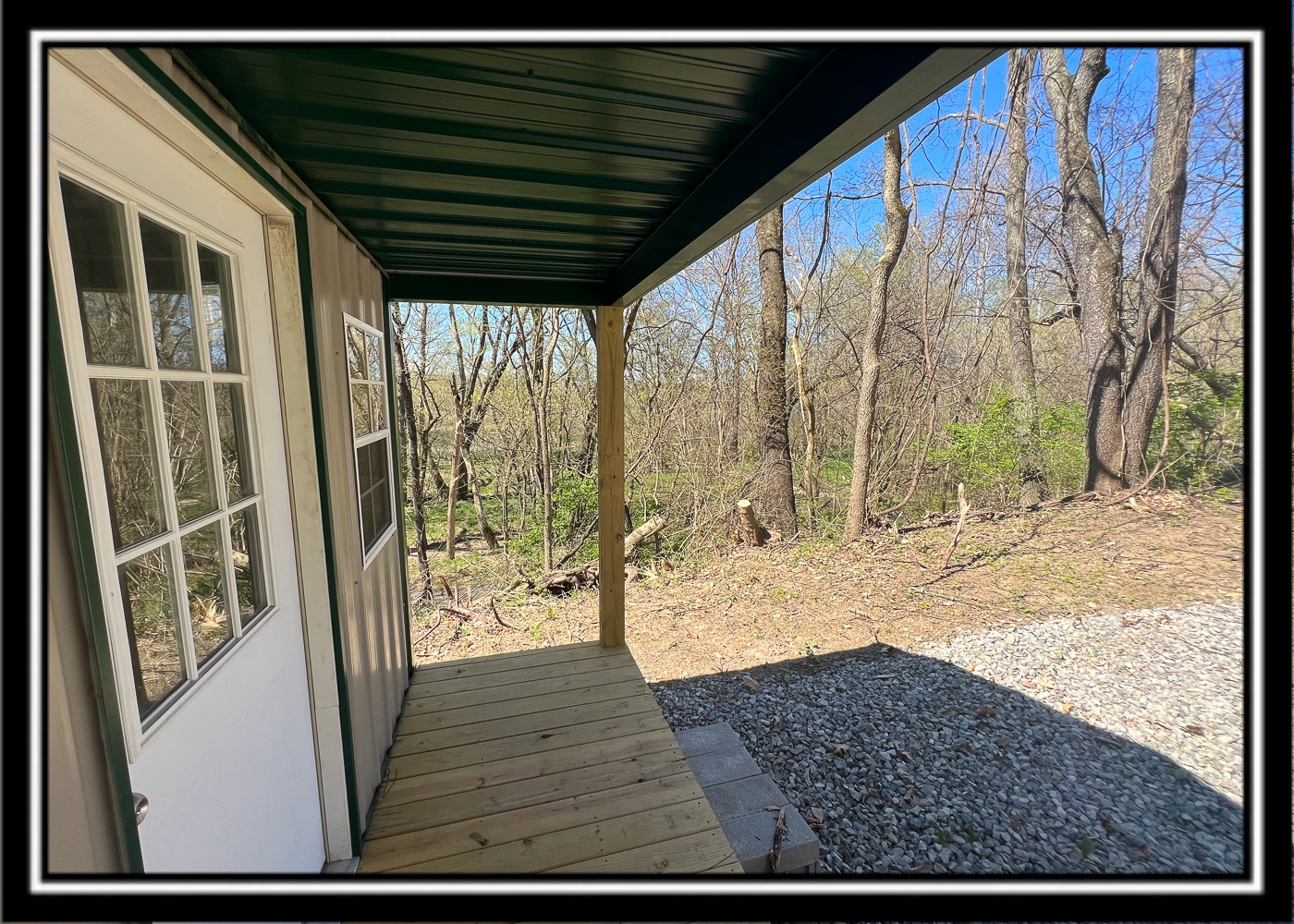
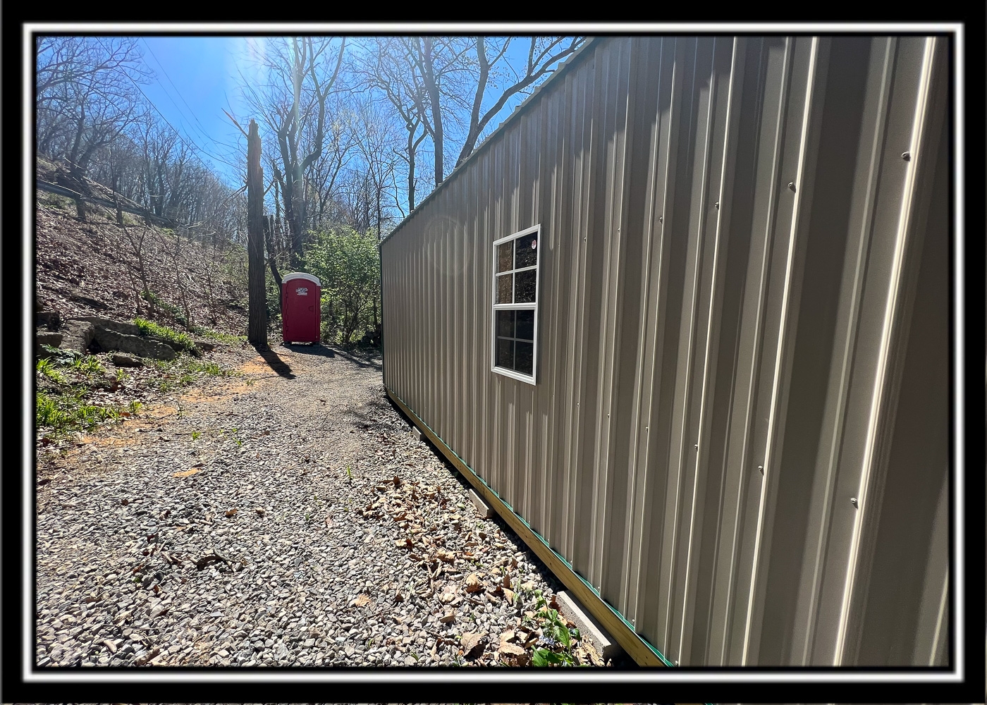
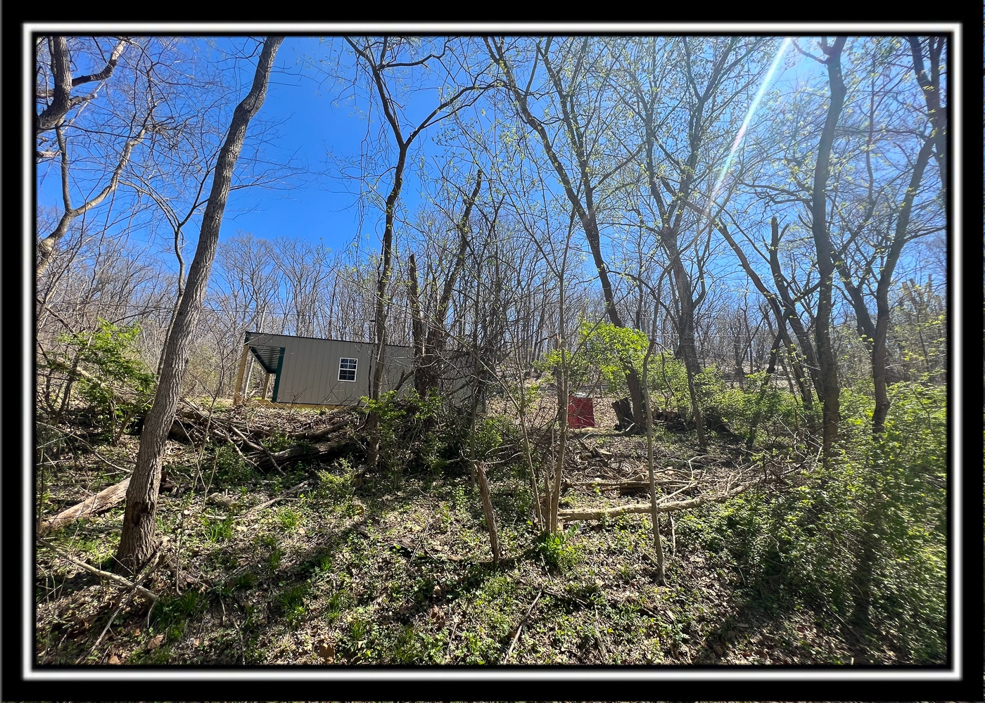
New 10 x 20 Cabin with Storage Area for your Toys
Owned Port-A-John Outhouse
Great for RV/Camper
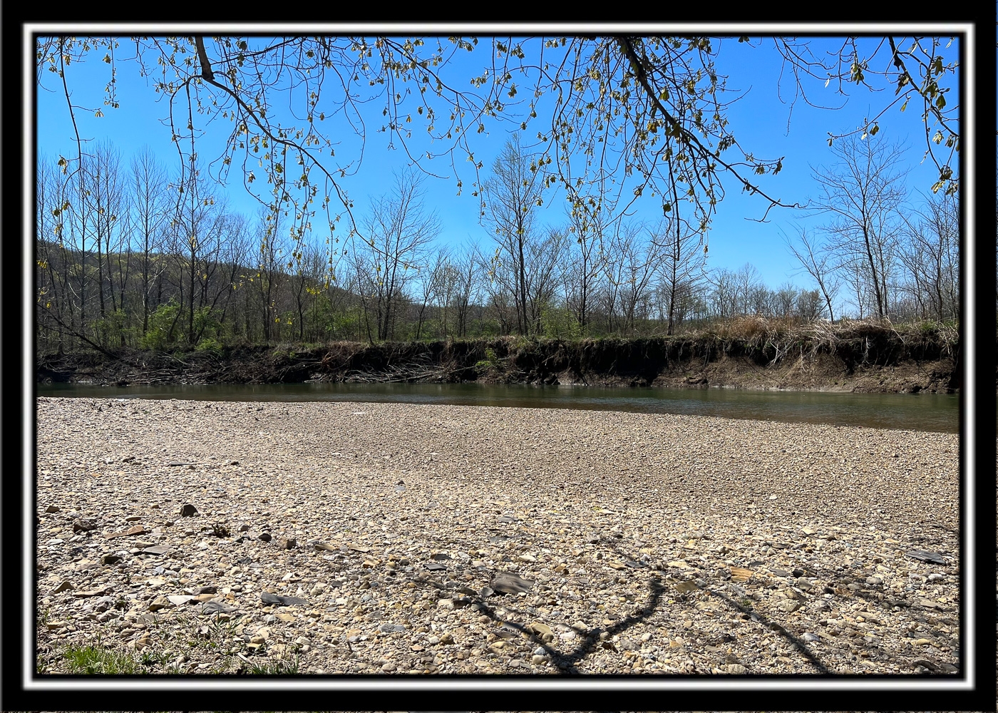
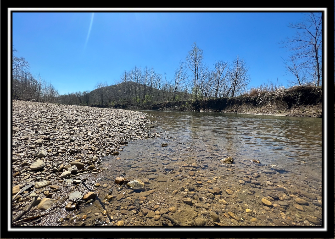
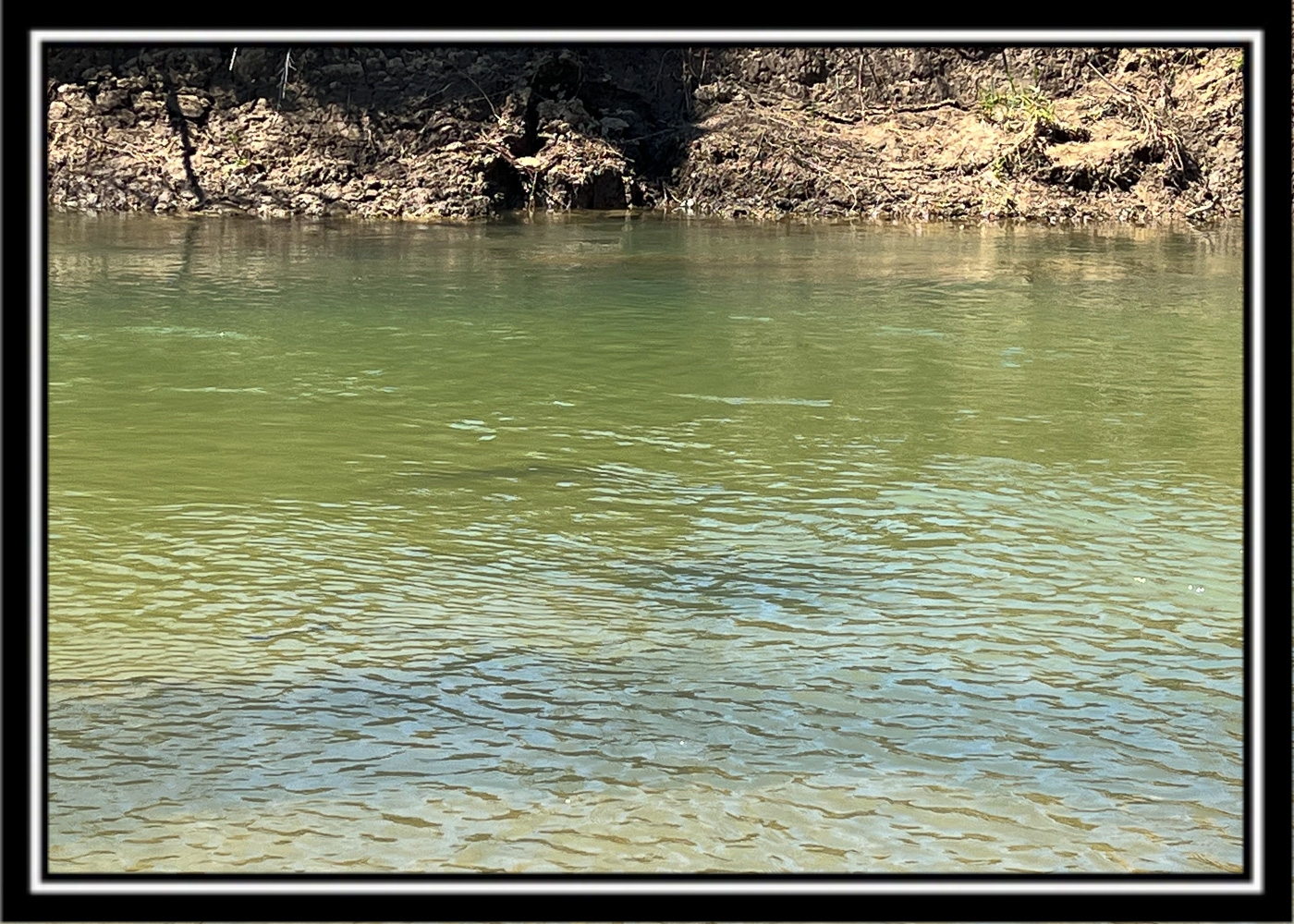
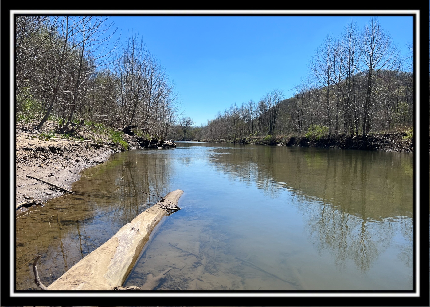
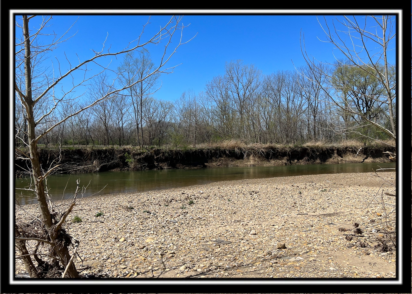
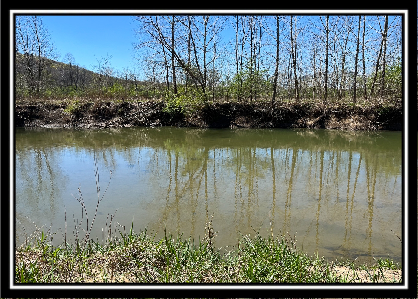
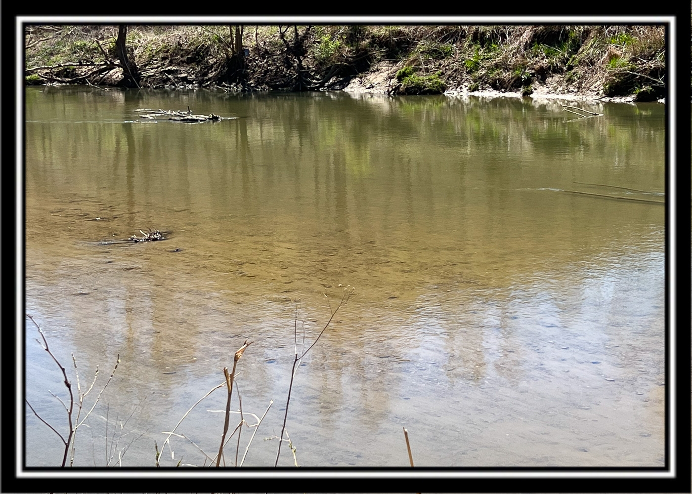
Large Picturesque Creek, great for Fishing, Canoeing, Kayaking, Tubing… etc
Business Opportunities?? Uses only limited by your imagination
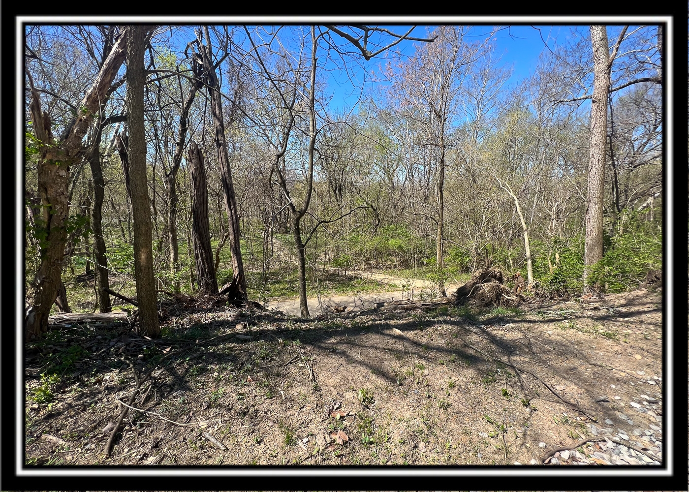
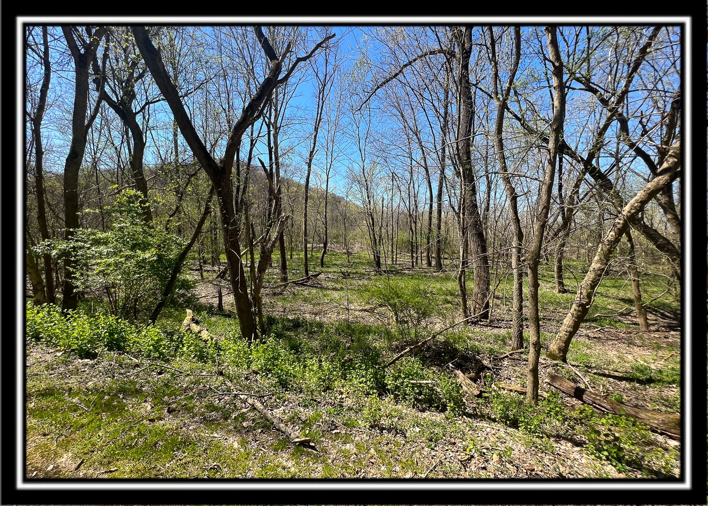
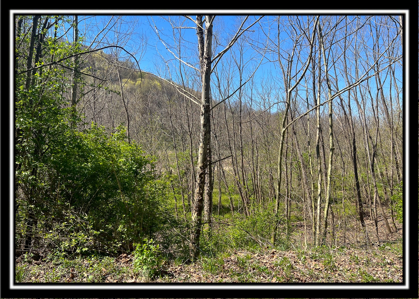
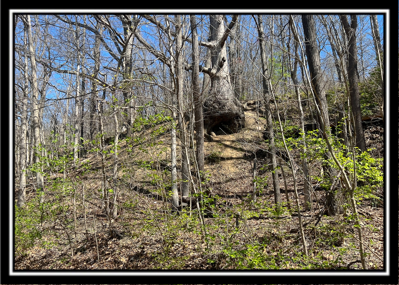
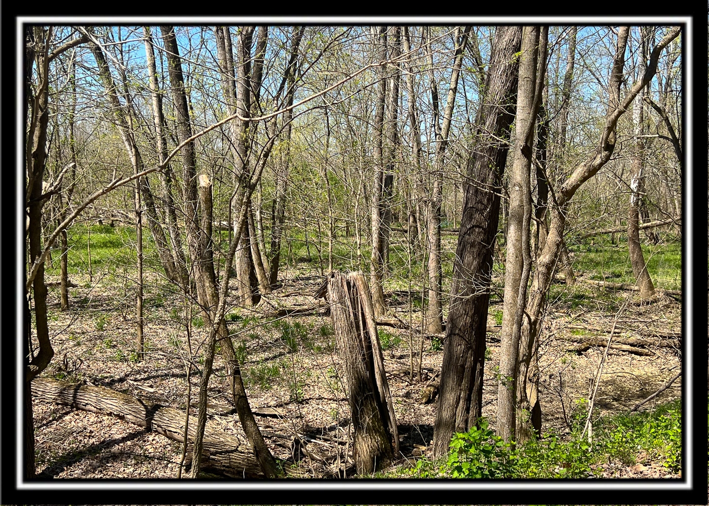
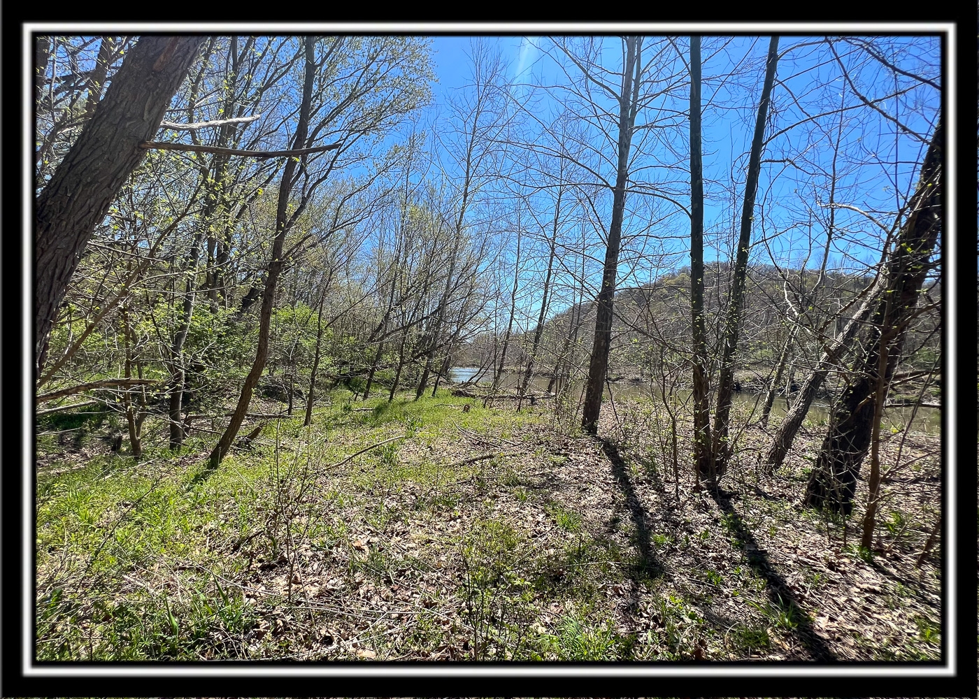
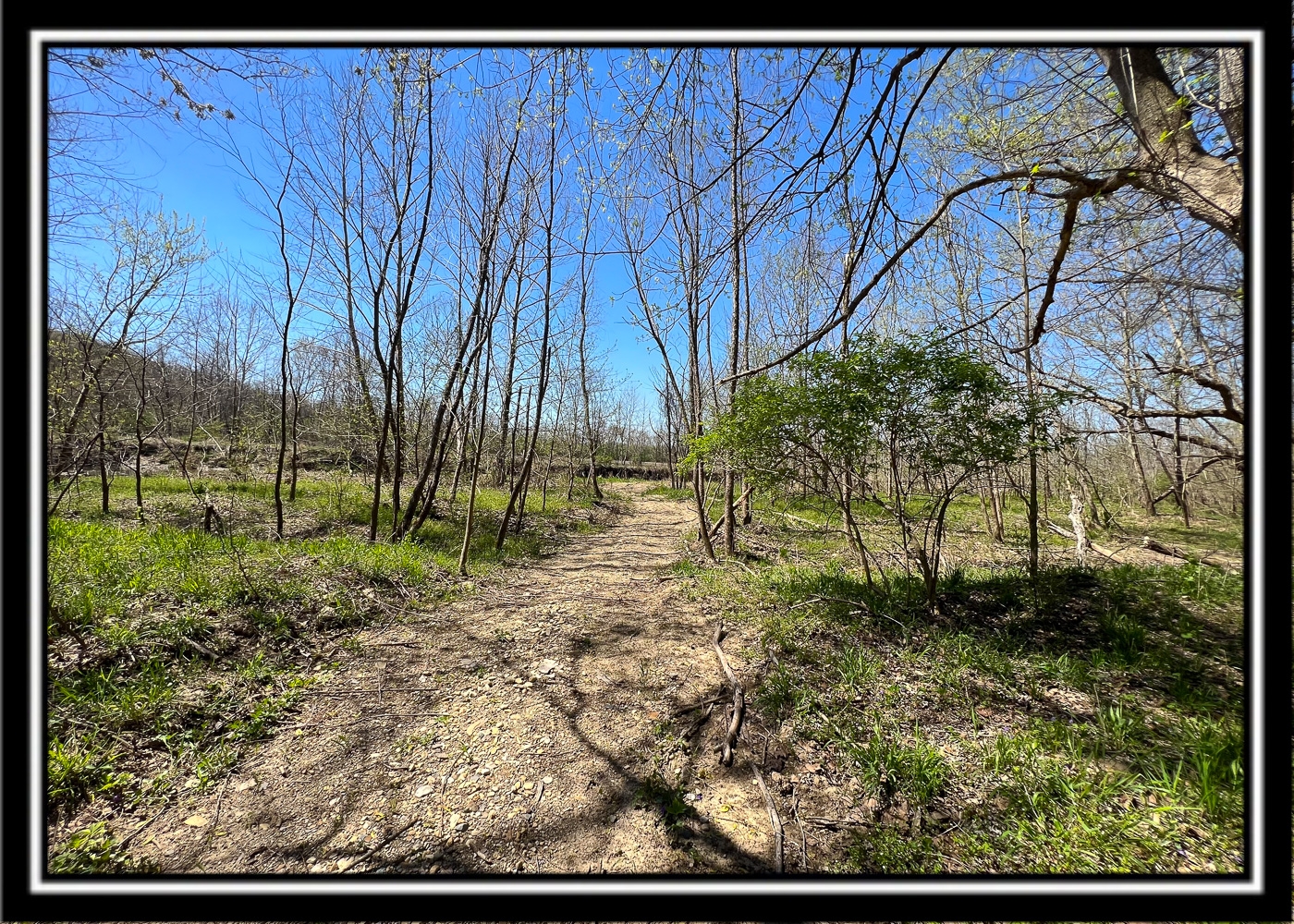
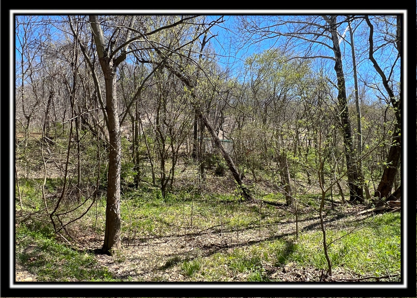
Extremely Gentle Terrain
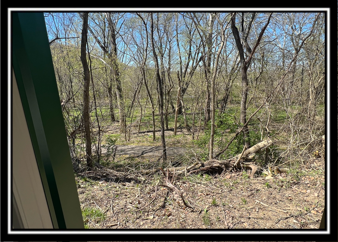
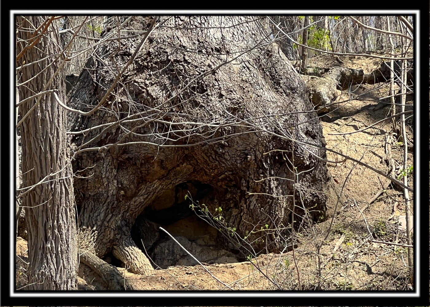
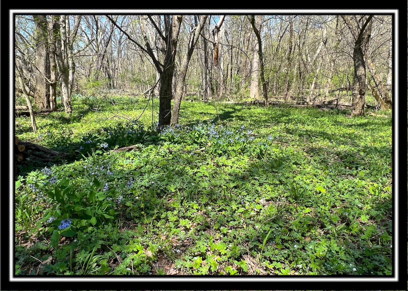
Beautiful Mature Woods
Gated Gravel Trail across Bike path to Creek
Tremendous Amount of Wildlife
Ducks, Deer, Fish … etc
Excellent Hunting and Fishing
9.857 Acres in 2 Parcels
Beautiful Remote Country Setting on Dead End Country Road
No Zoning
No Septic Systems allowed unless approved by Regional Planning and Health Department
South Central Power at the Road
Ross County Water at the Road
Concord Twp, Ross County
Adena Local School District
Parcel #s 060806092000 and 060806091000
Paint Creek Recreational Trail is Located:
On North Fork Paint Creek
On Paint Creek Recreational Trail (Bike Path)
2 Miles to Frankfort
10 Miles to Chillicothe
40 Miles to Columbus
62 Miles to Dayton
67 Miles to Cincinnati
North Musselman Station Road, Frankfort, OH 45628
GPS Coordinates : 39.37723, -83.15013
A Countrytyme advantage
Take the property lines into the field.
On your phone, tap Walk property lines, allow your location when asked, and follow the blue dot in Tract Explorer to see your position in relation to the mapped boundary while you explore.