Walk this property with confidence.
Use GPS directions to reach the tract. Then open the property lines on your phone and follow your blue location dot as you walk, so you can see where you are in relation to the boundaries.
Interactive property map
See the land before you visit.
Switch aerial, topographic, soil, water, contour, and terrain layers while the mapped project boundary stays visible.
Property Documents
- Flint Ridge, Lot J - Soil Evaluation.pdf
- Flint Ridge, Lot L - Soil Evaluation.pdf
- Flint Ridge, Lot M - Soil Evaluation.pdf
- Flint Ridge, Lot N - Soil Evaluation.pdf
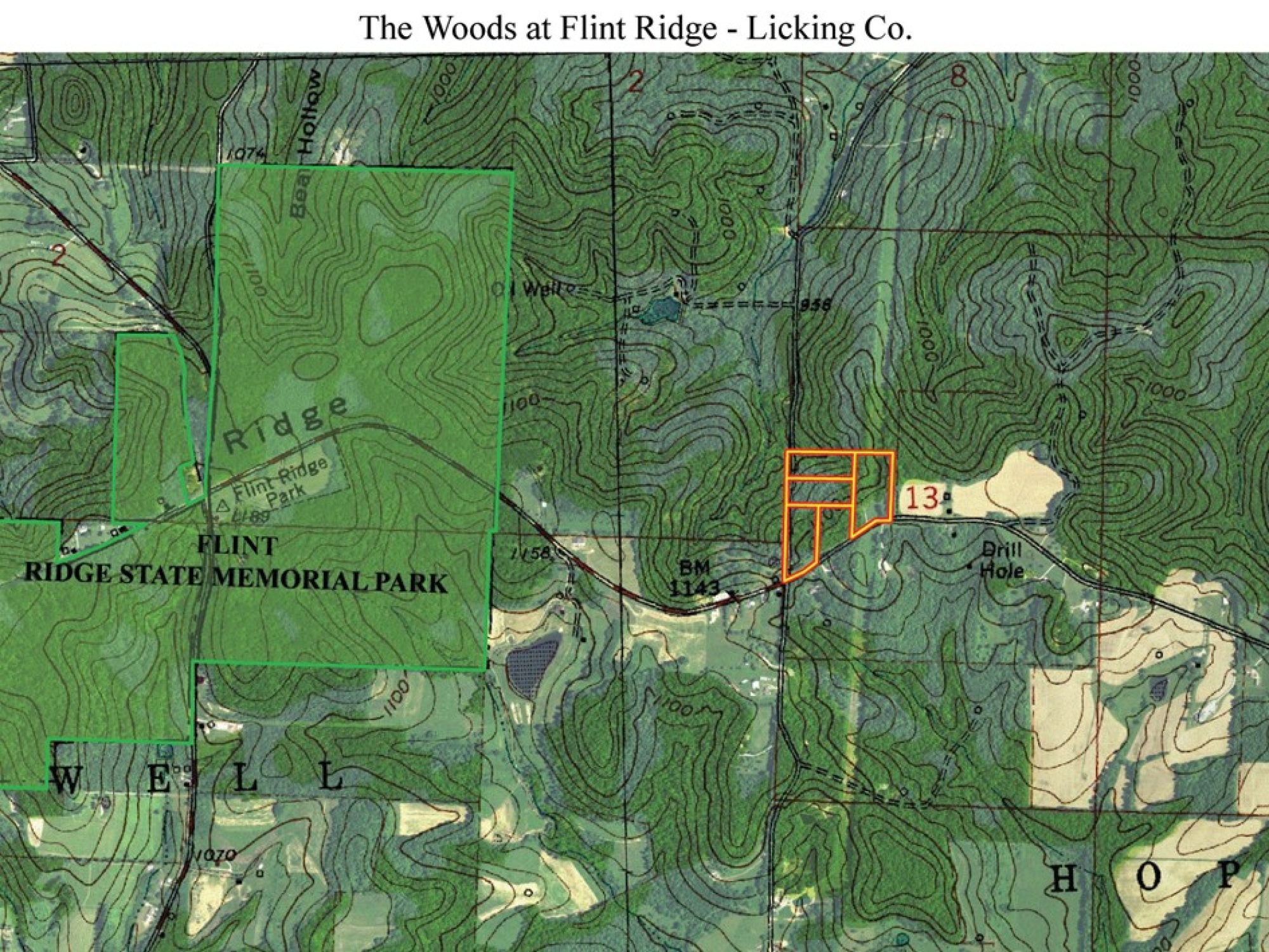
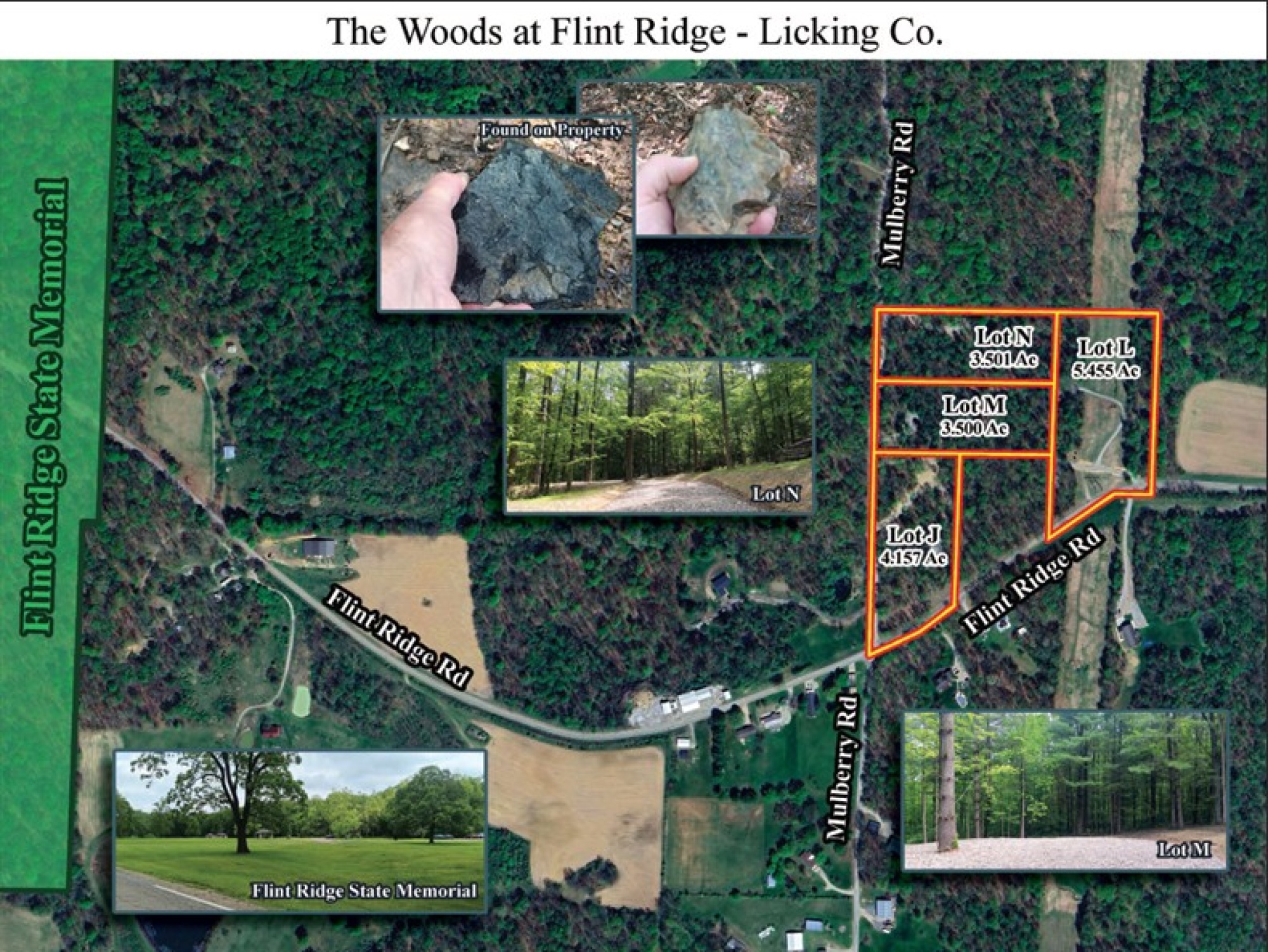
- The Woods at Flint Ridge - Aerial Map.pdf
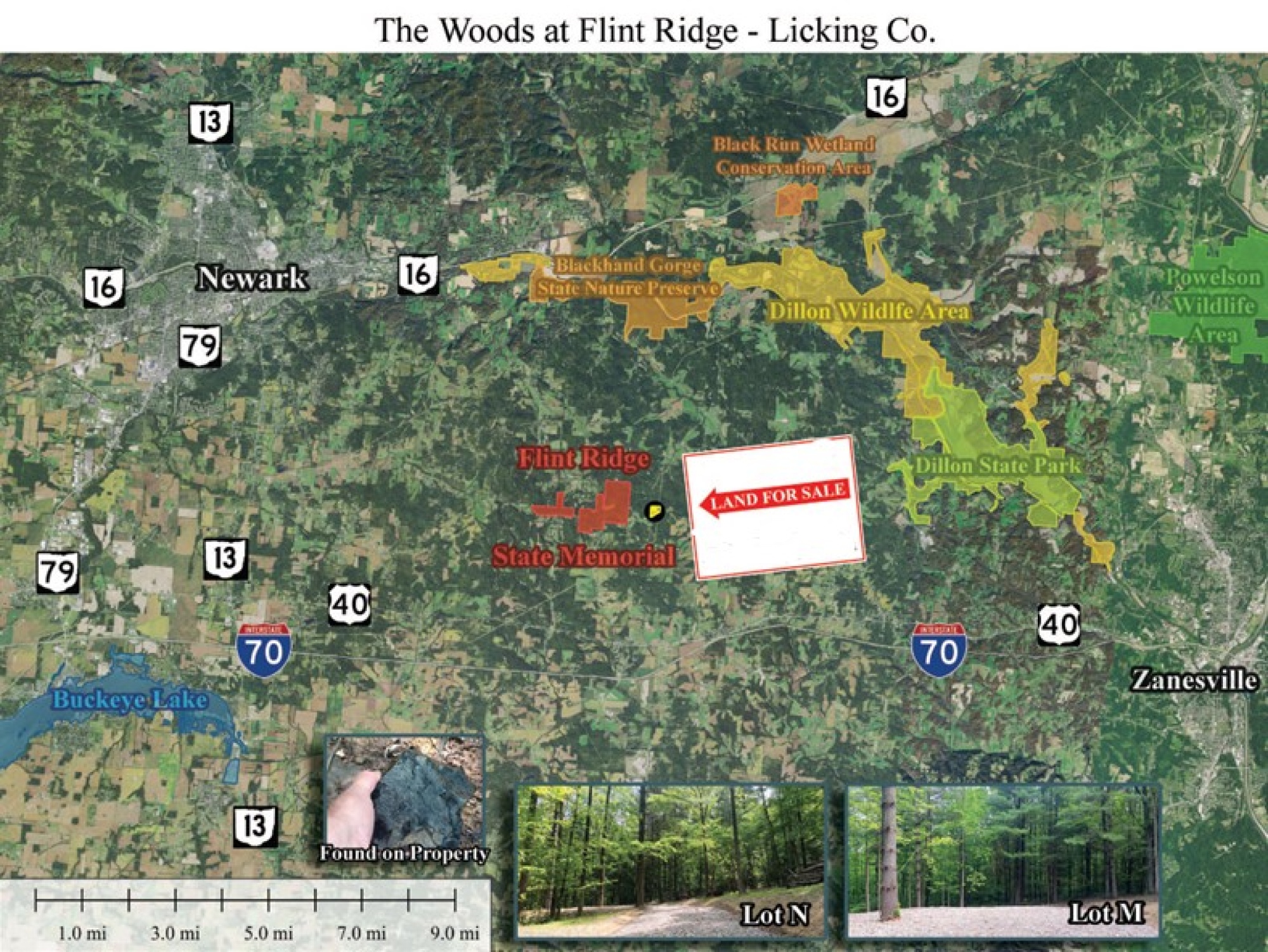
- The Woods at Flint Ridge - Parks Location Map.pdf
- The Woods at Flint Ridge - Survey.pdf
- Flint Ridge KML.KML
Property Description
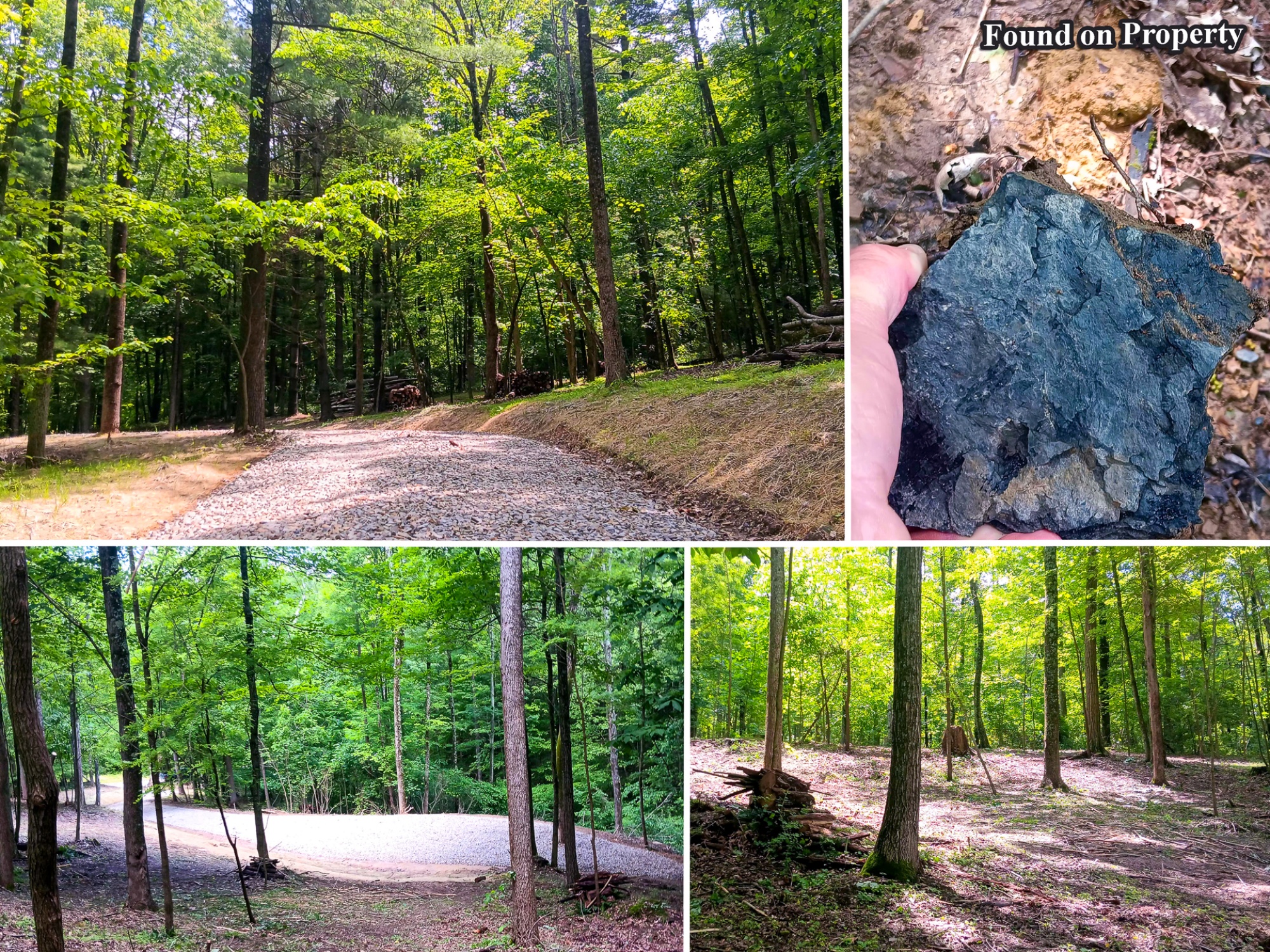
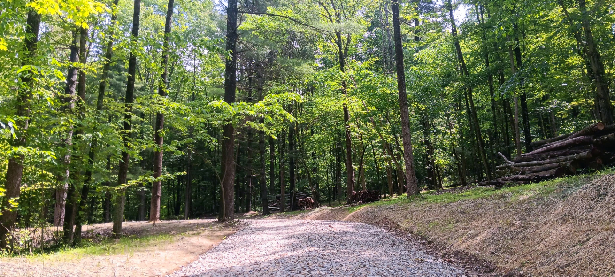
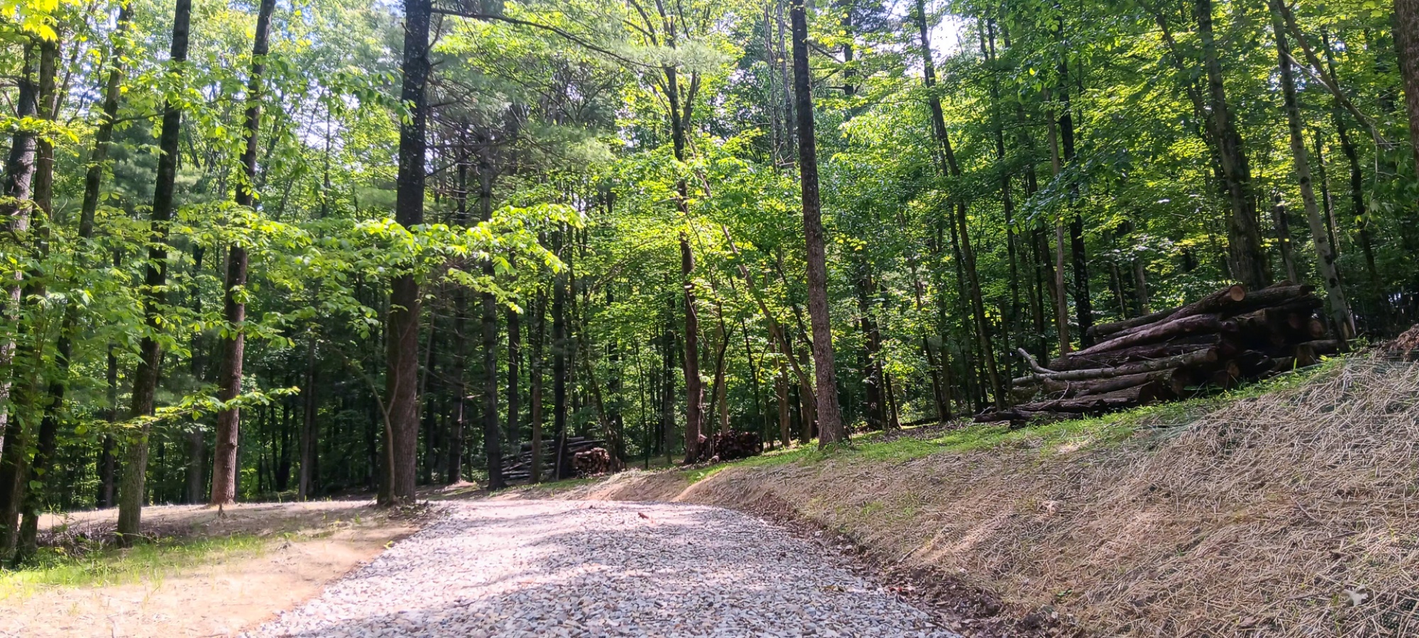
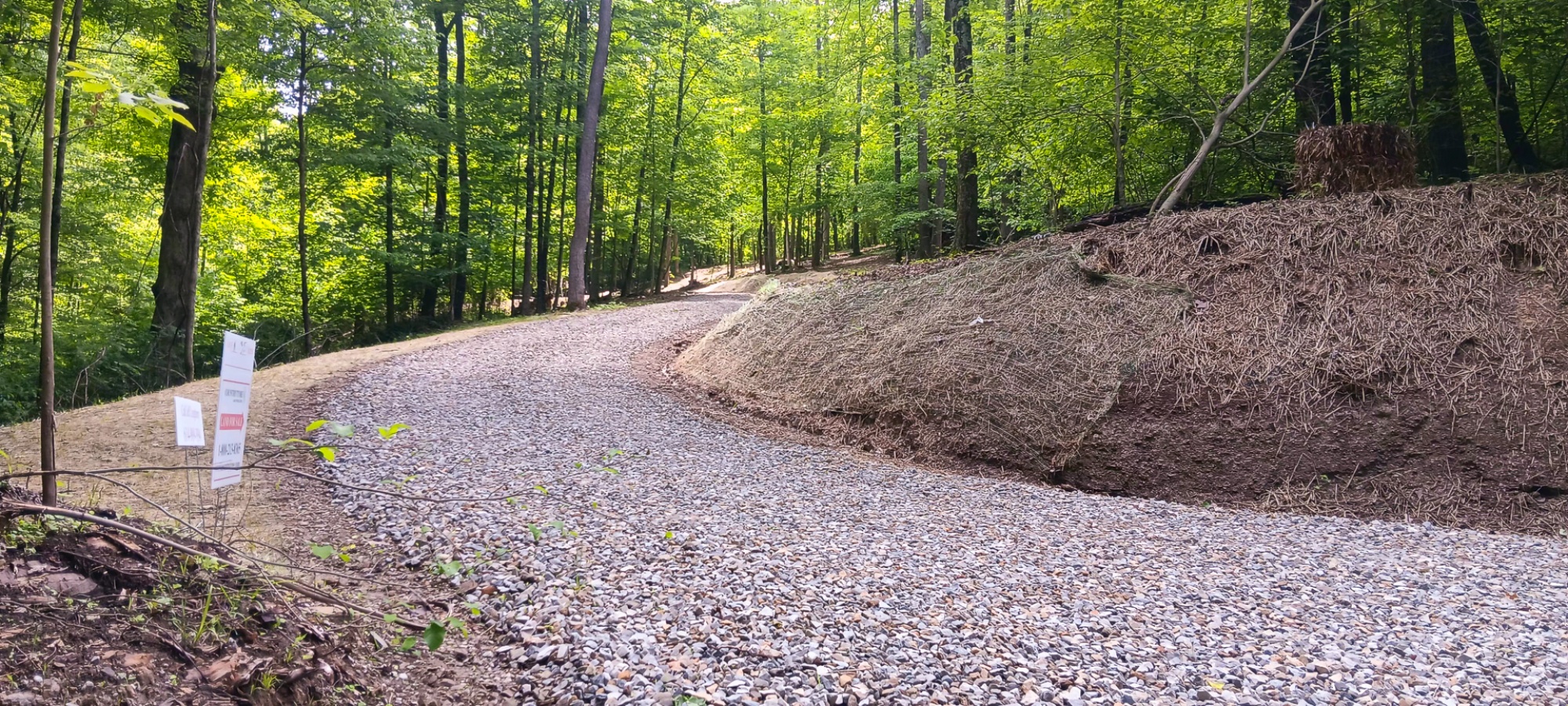
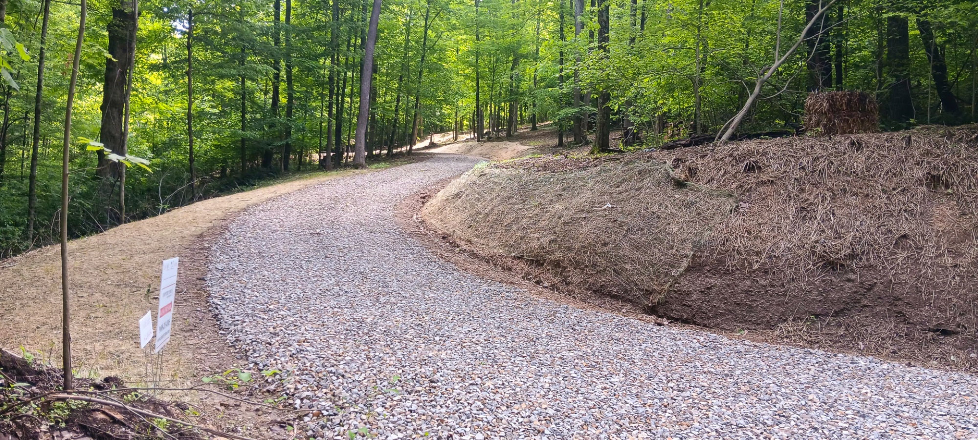
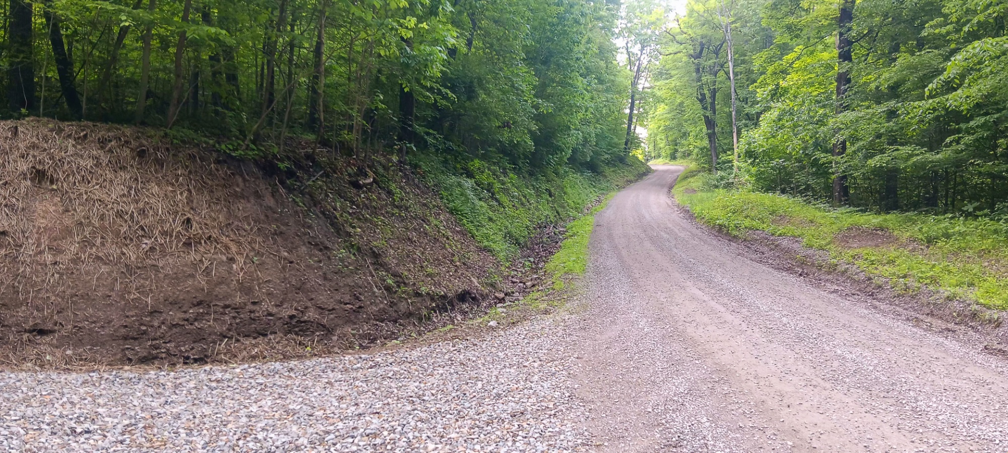
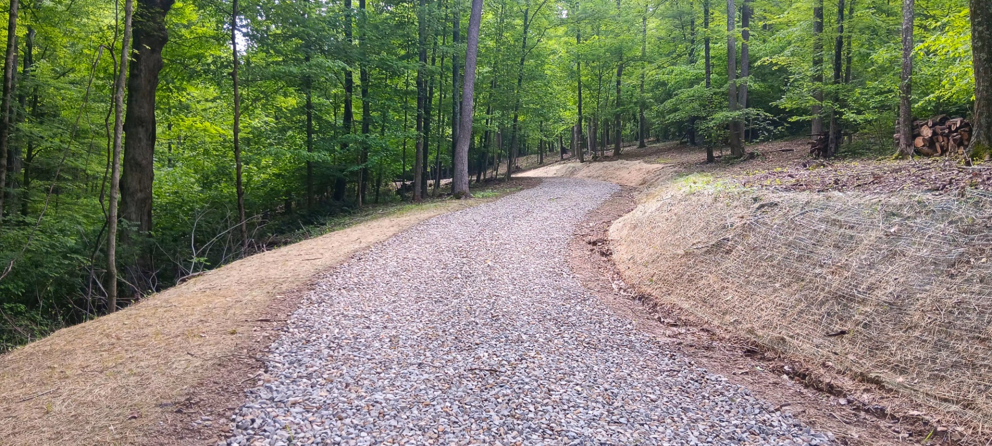
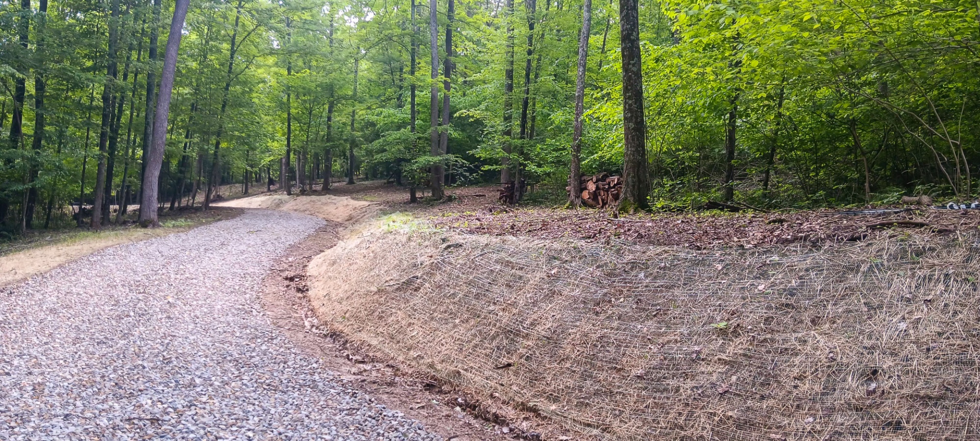
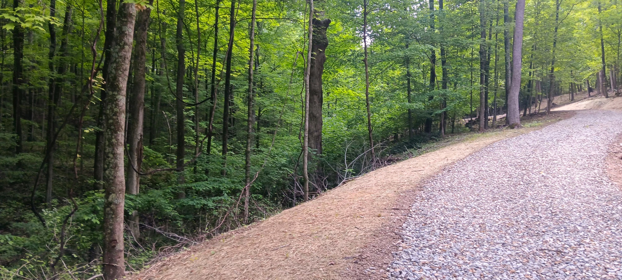
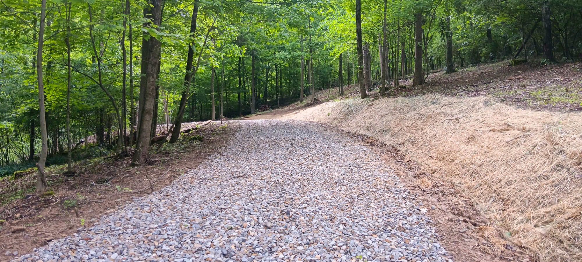
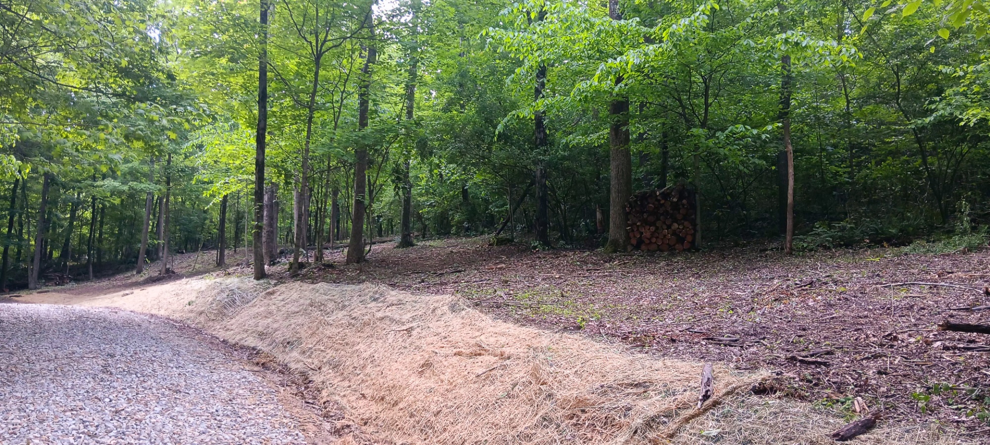
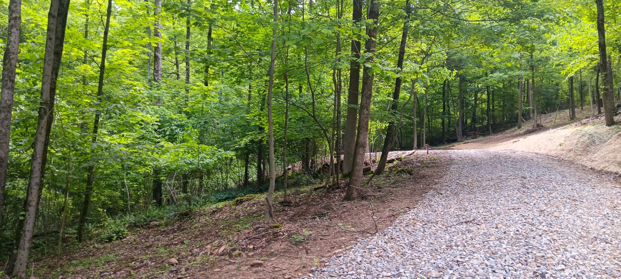
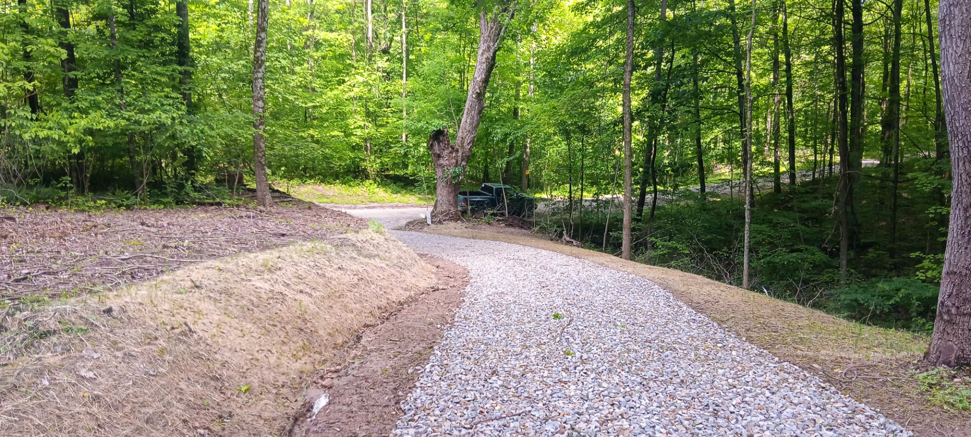
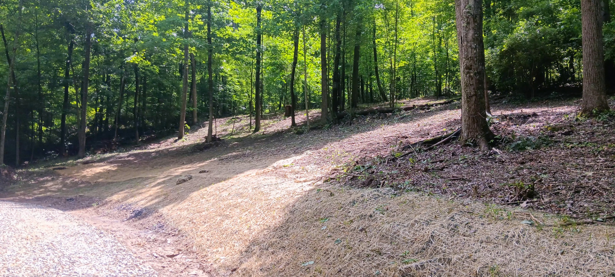
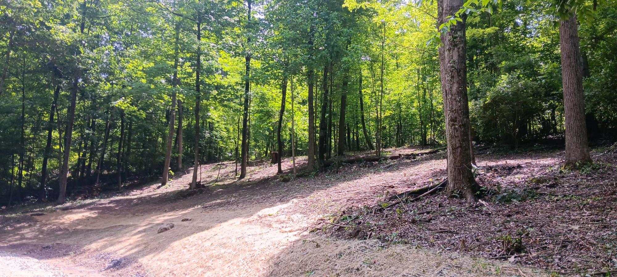
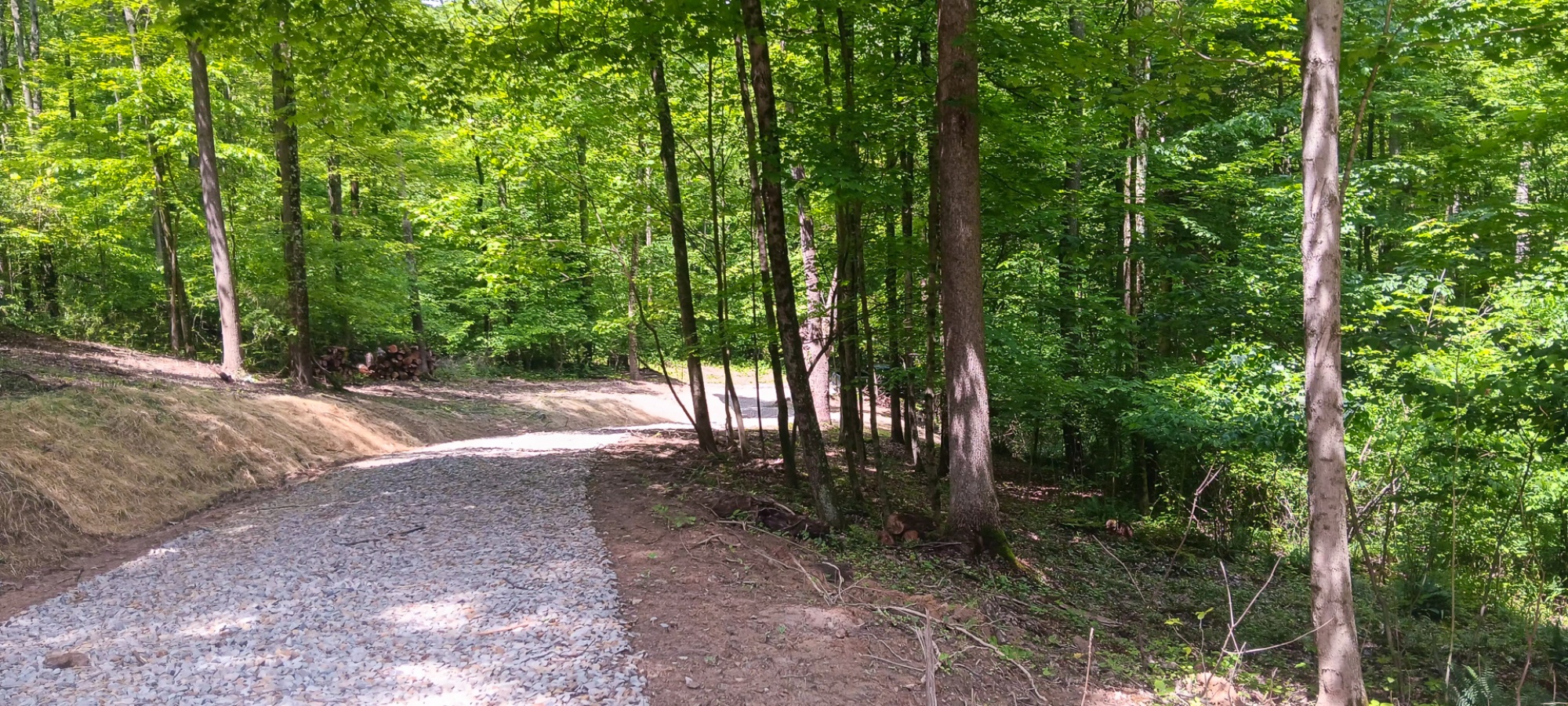
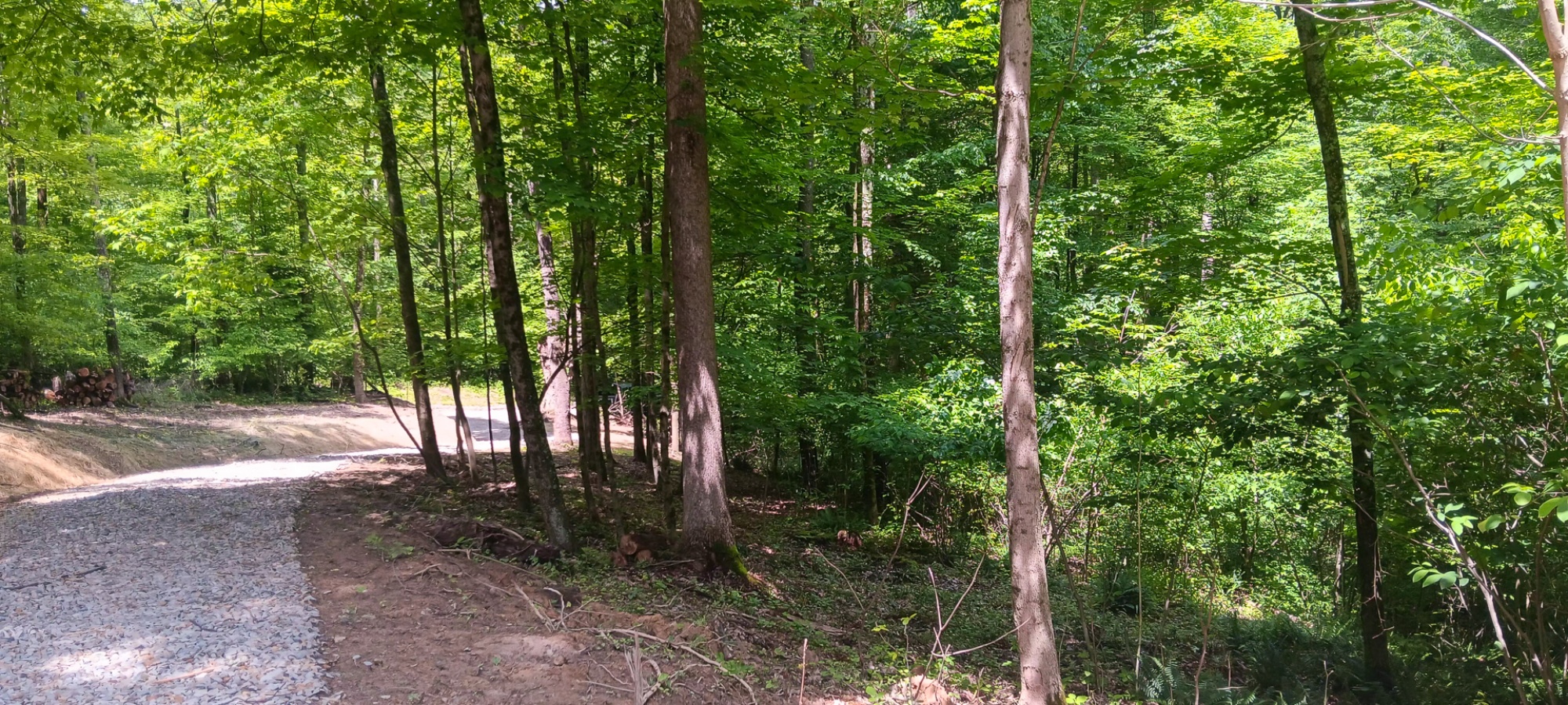
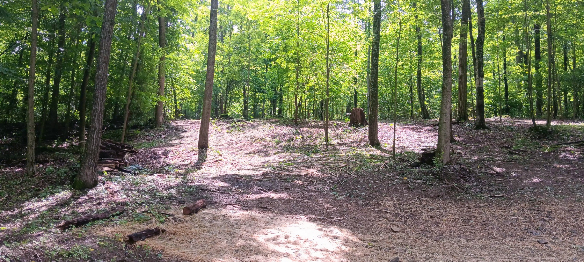
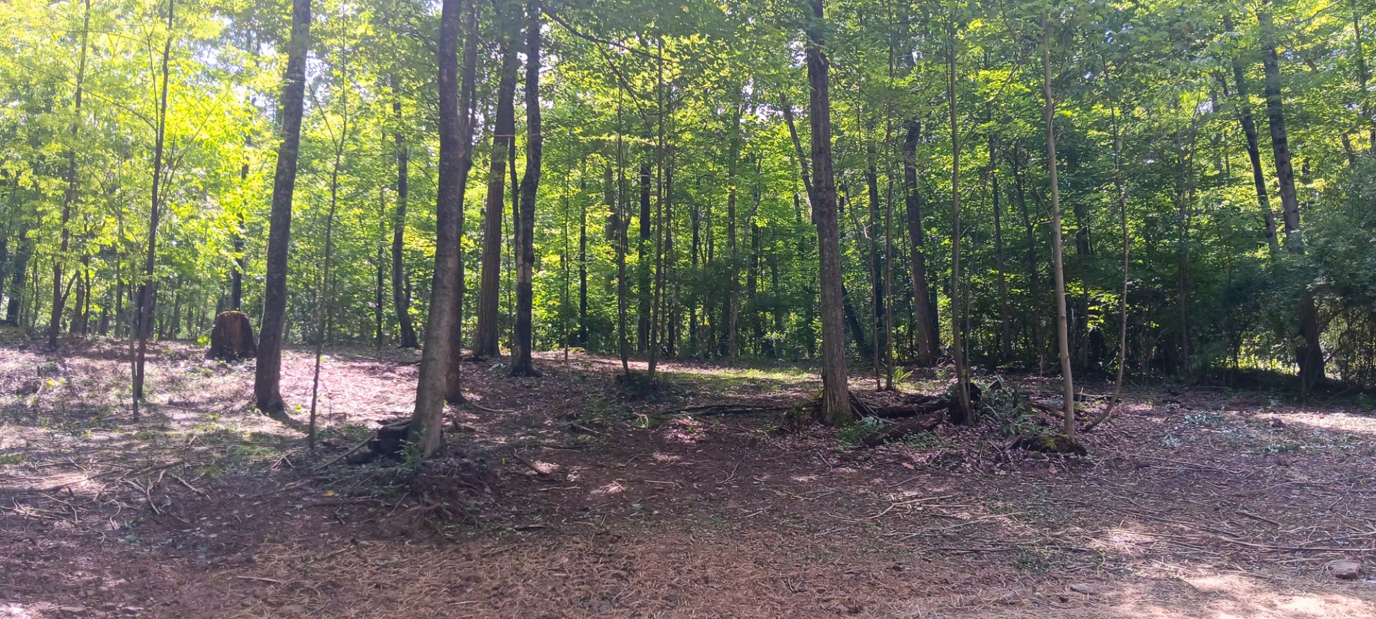
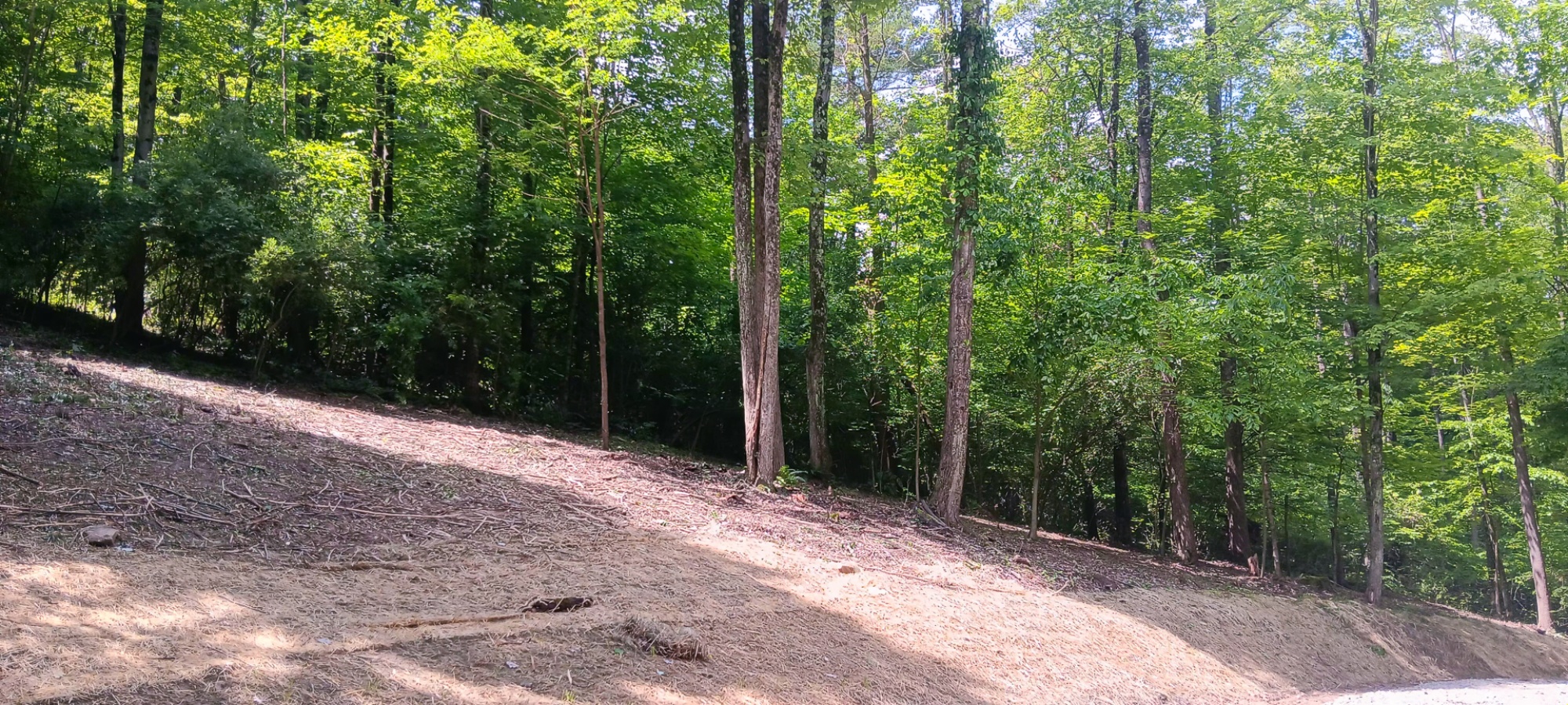
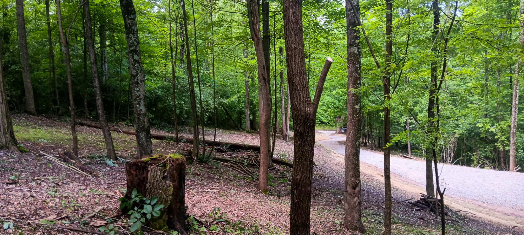
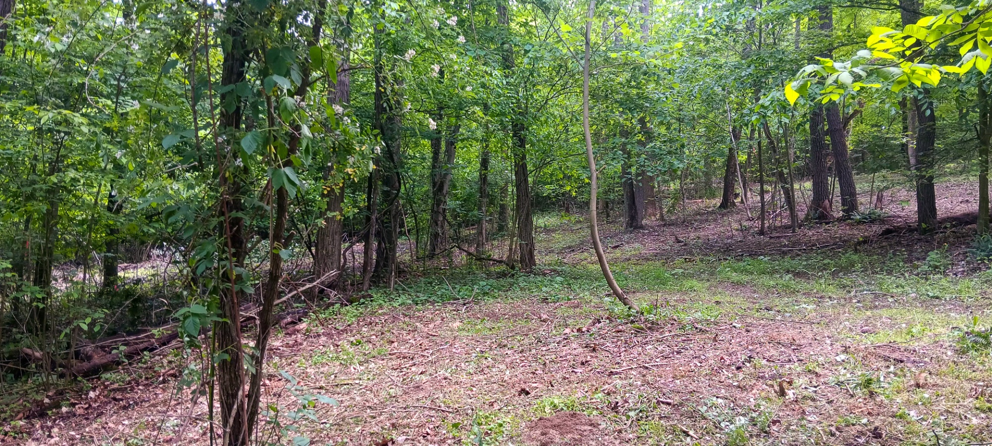
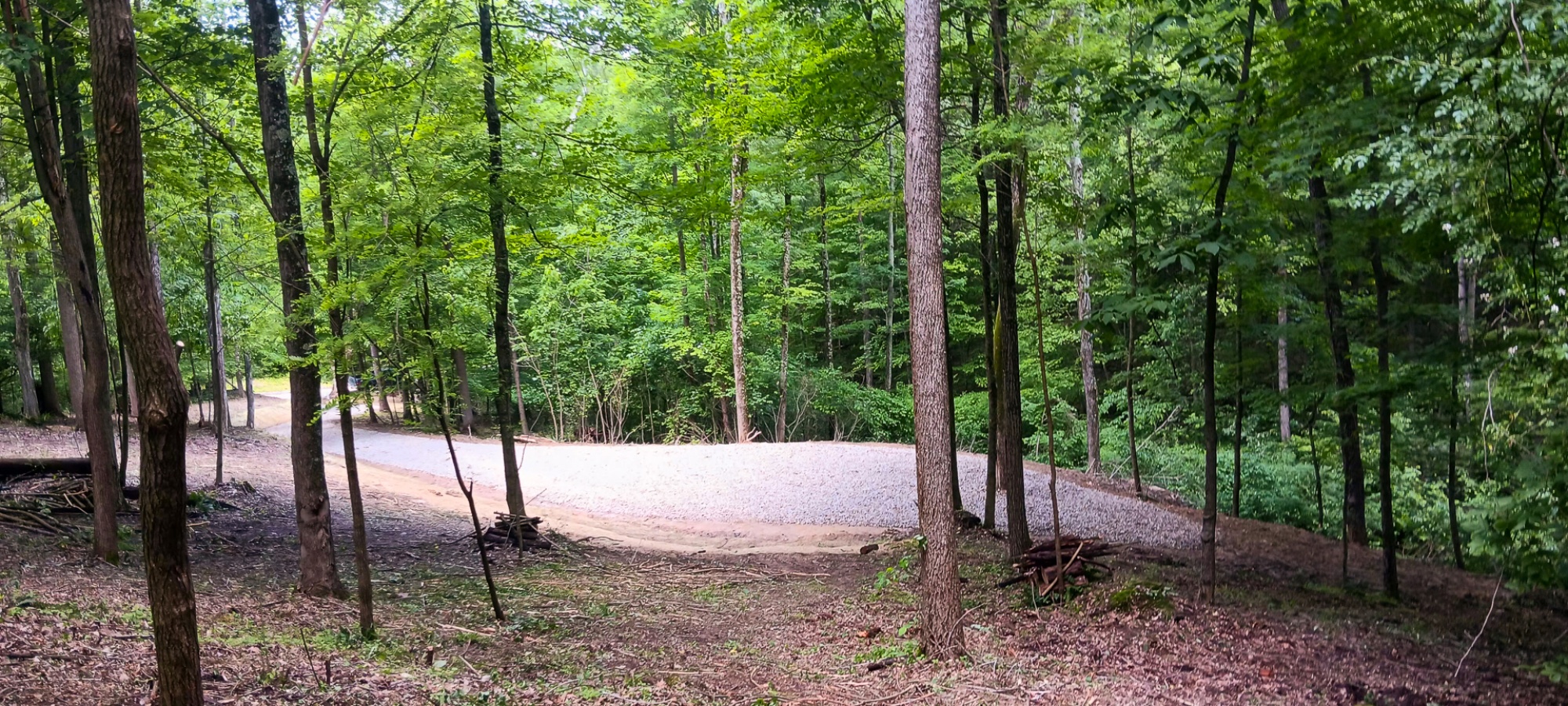
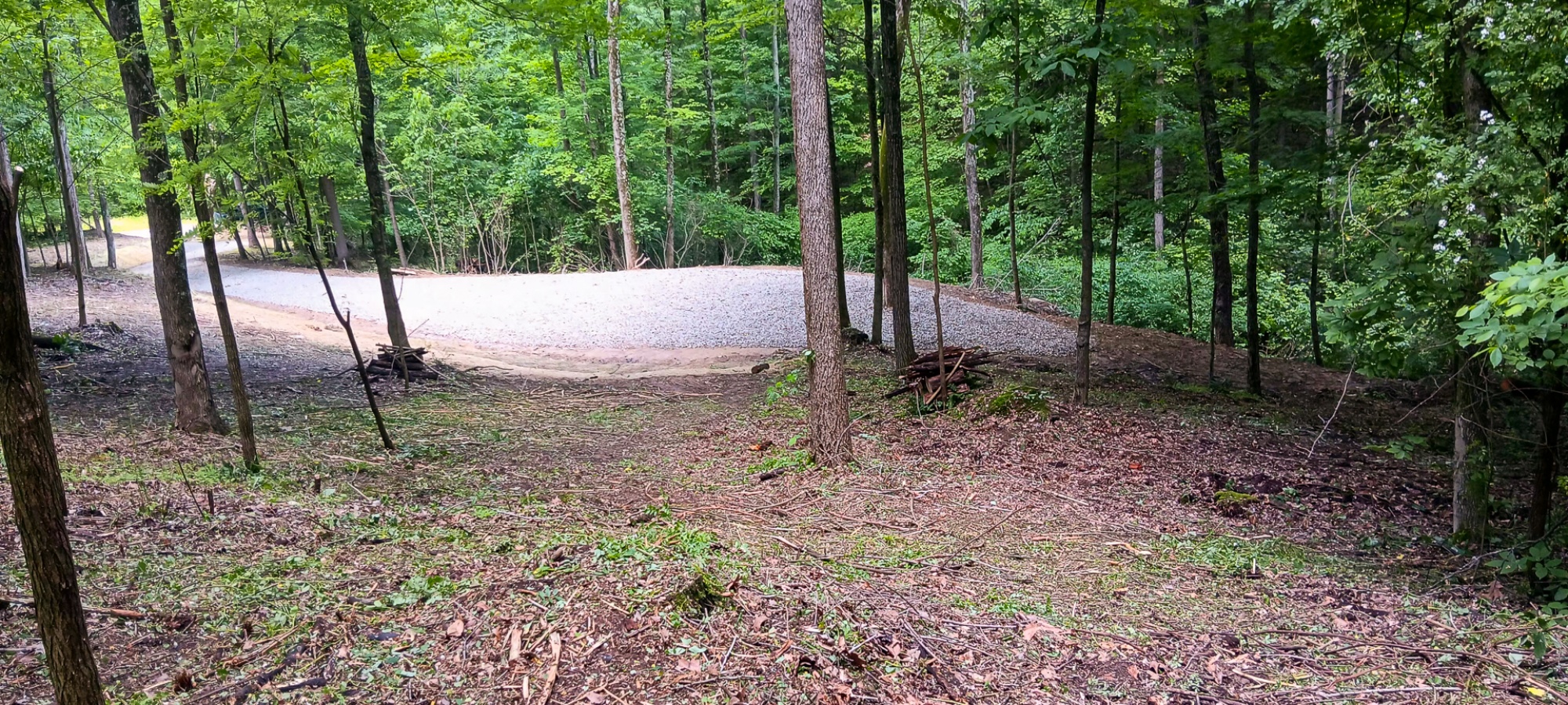
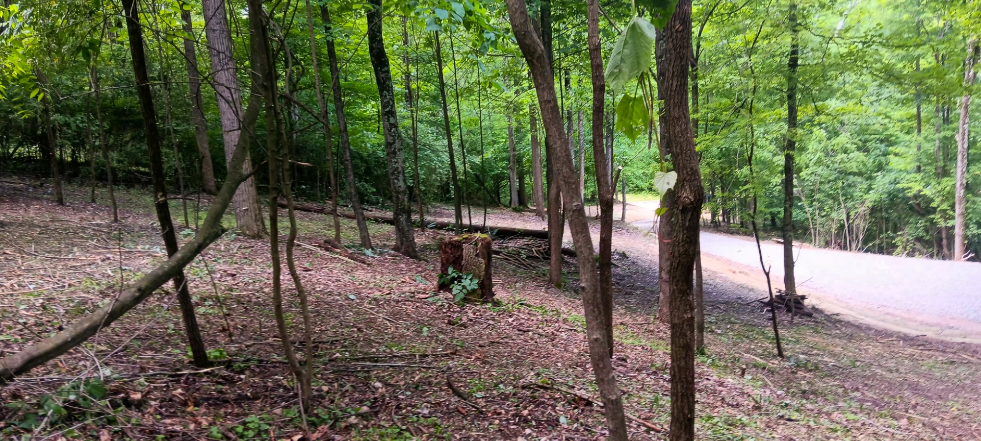
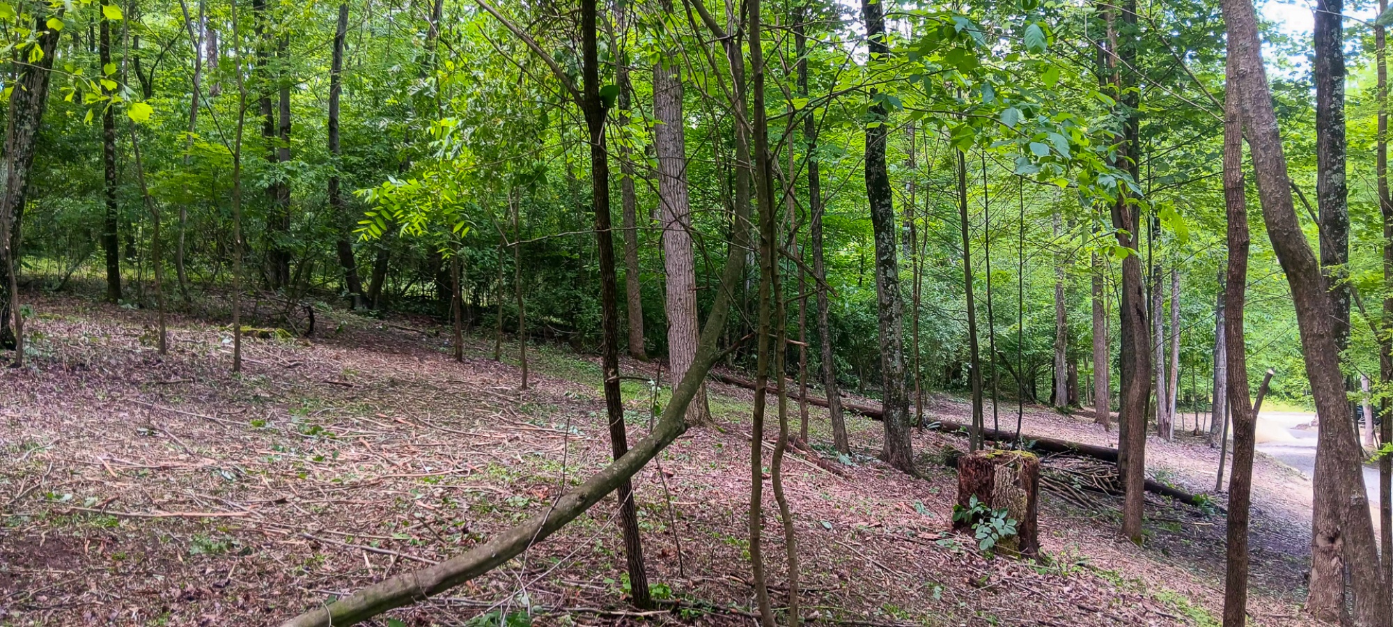
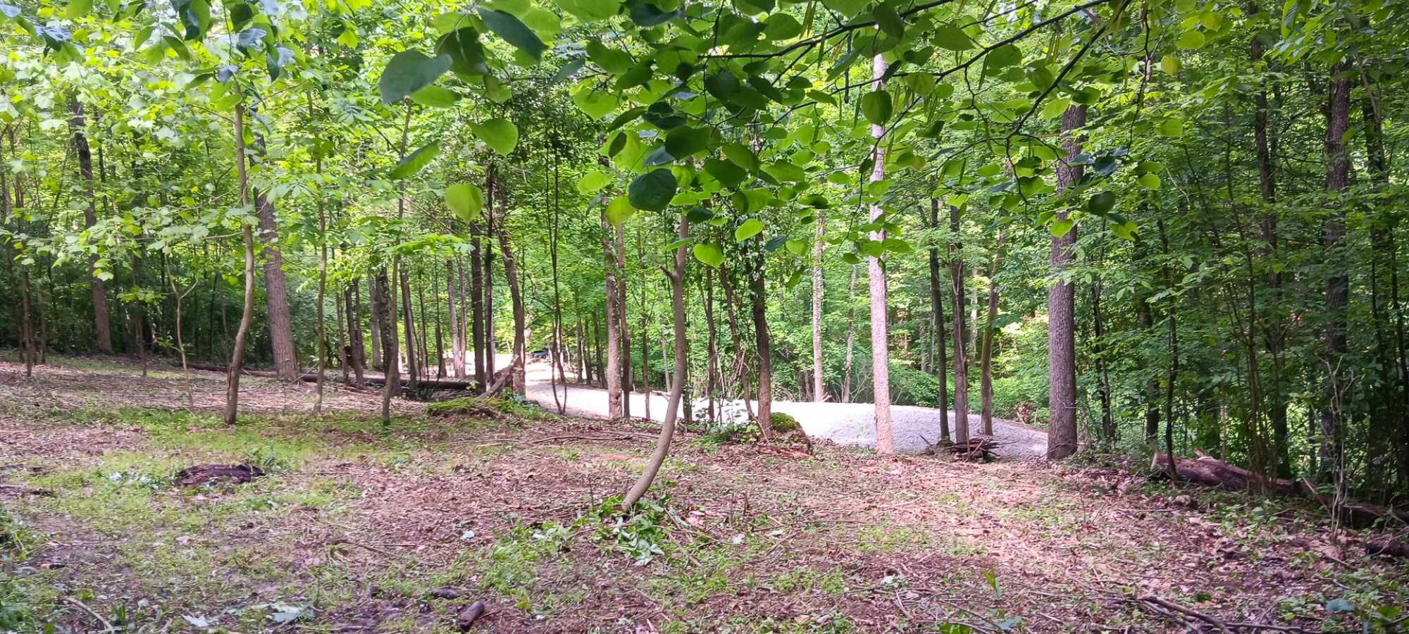
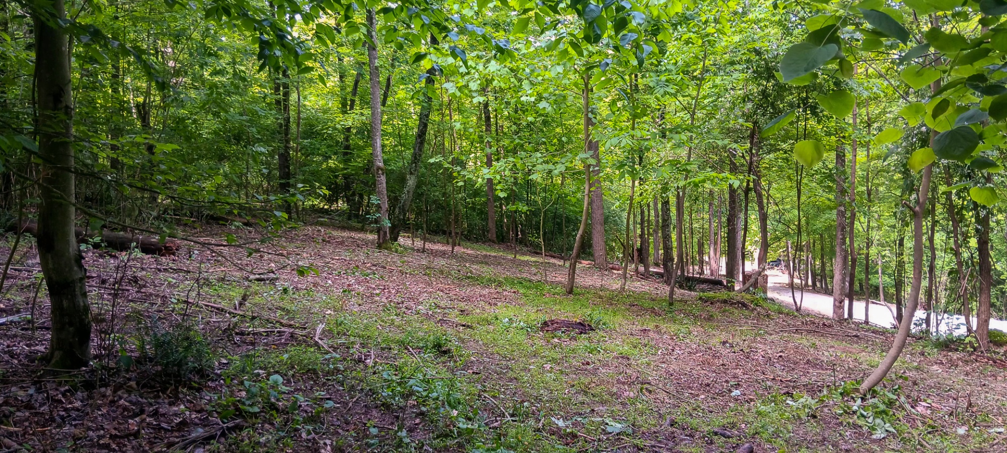
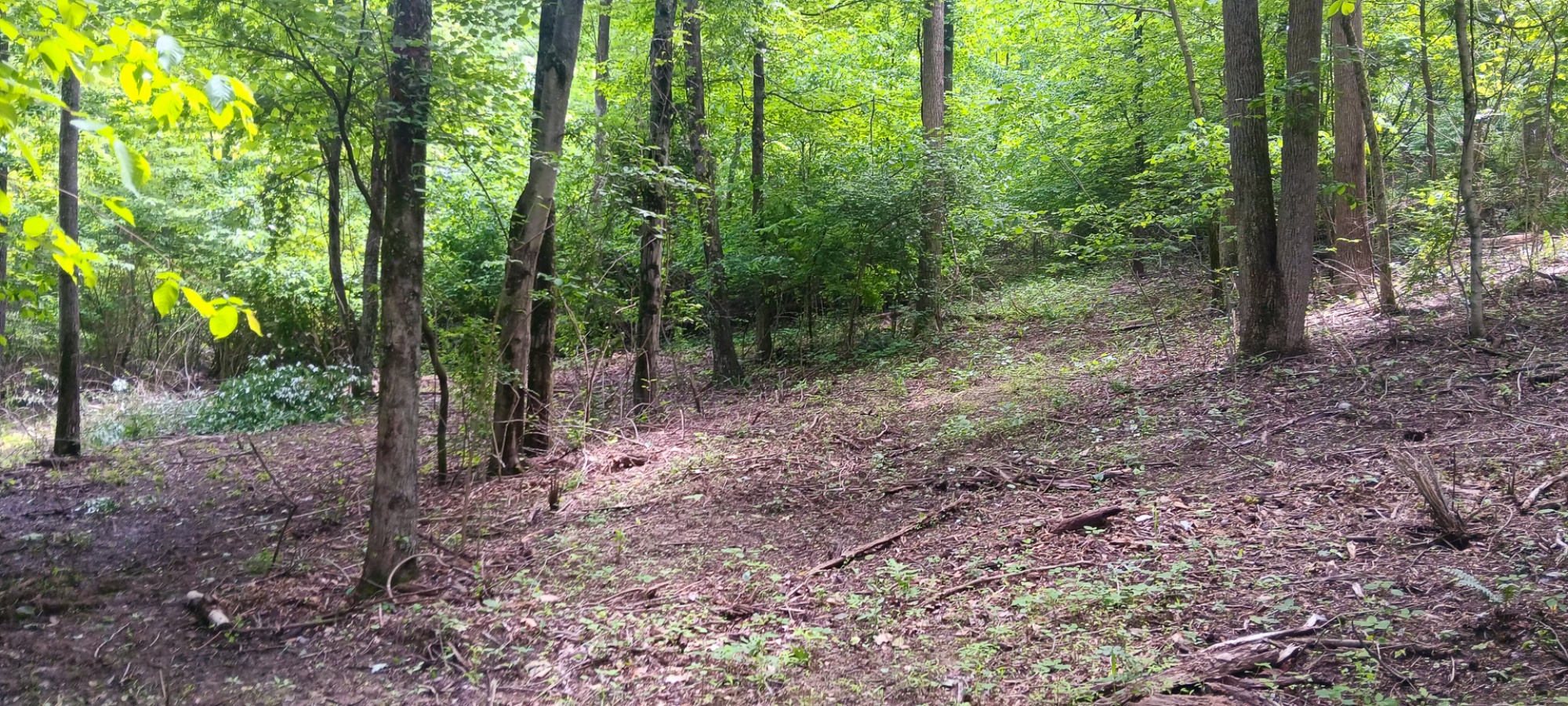
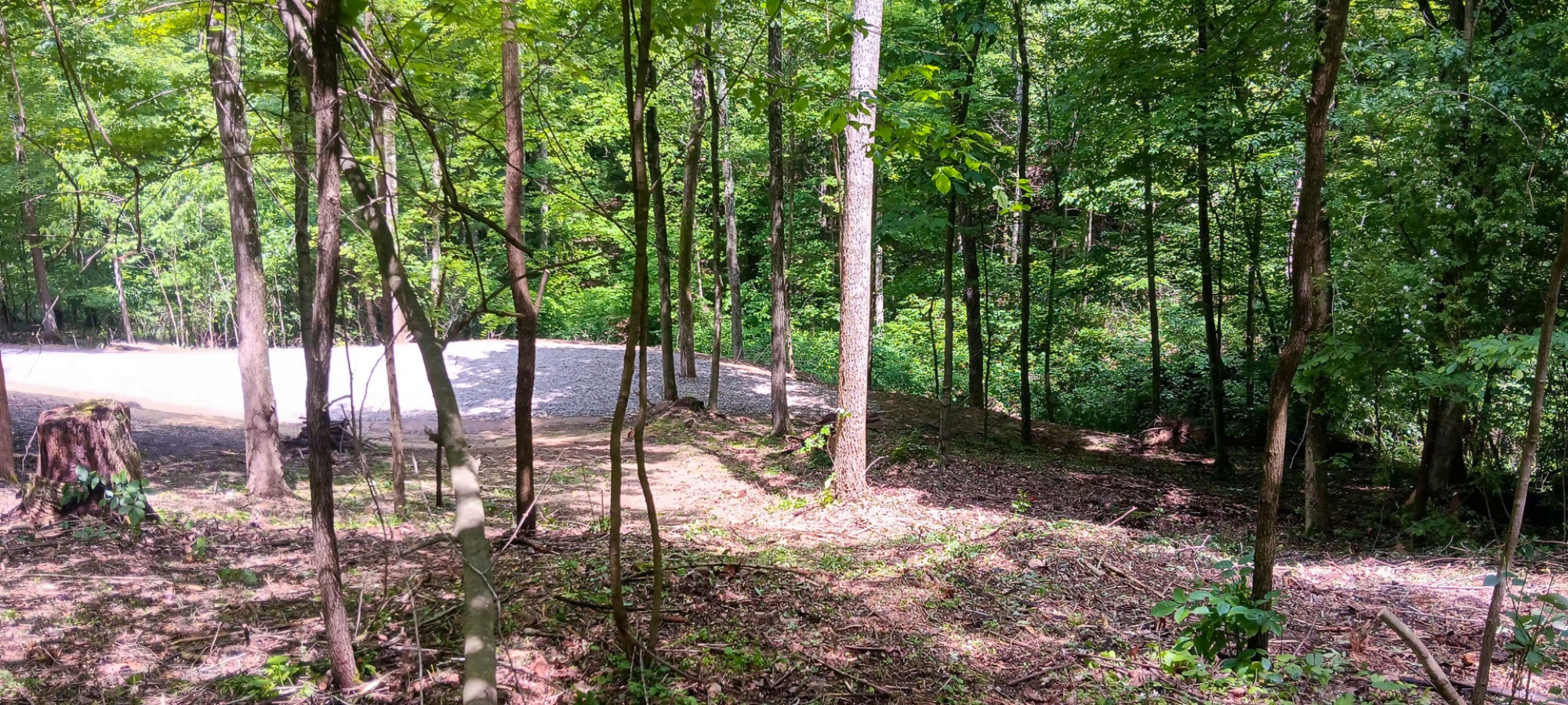
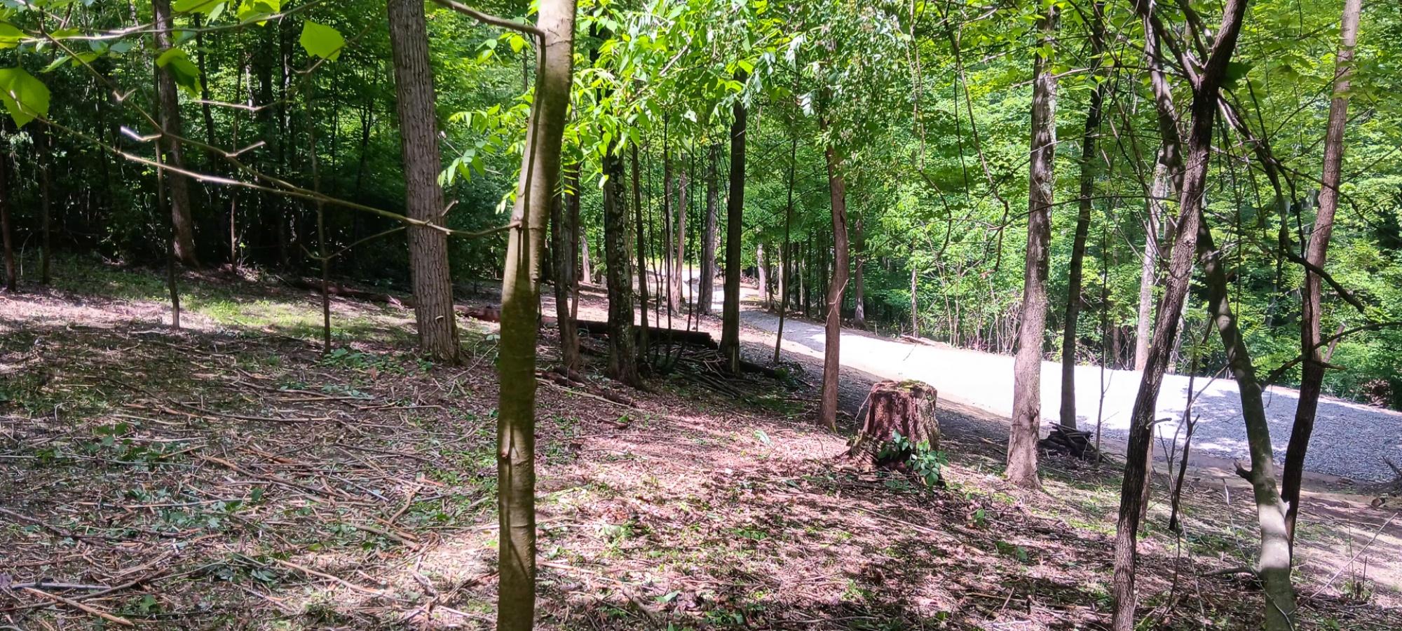
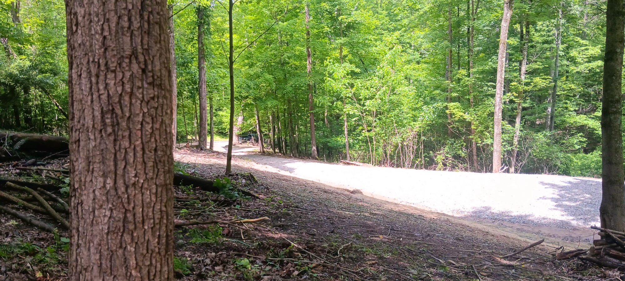
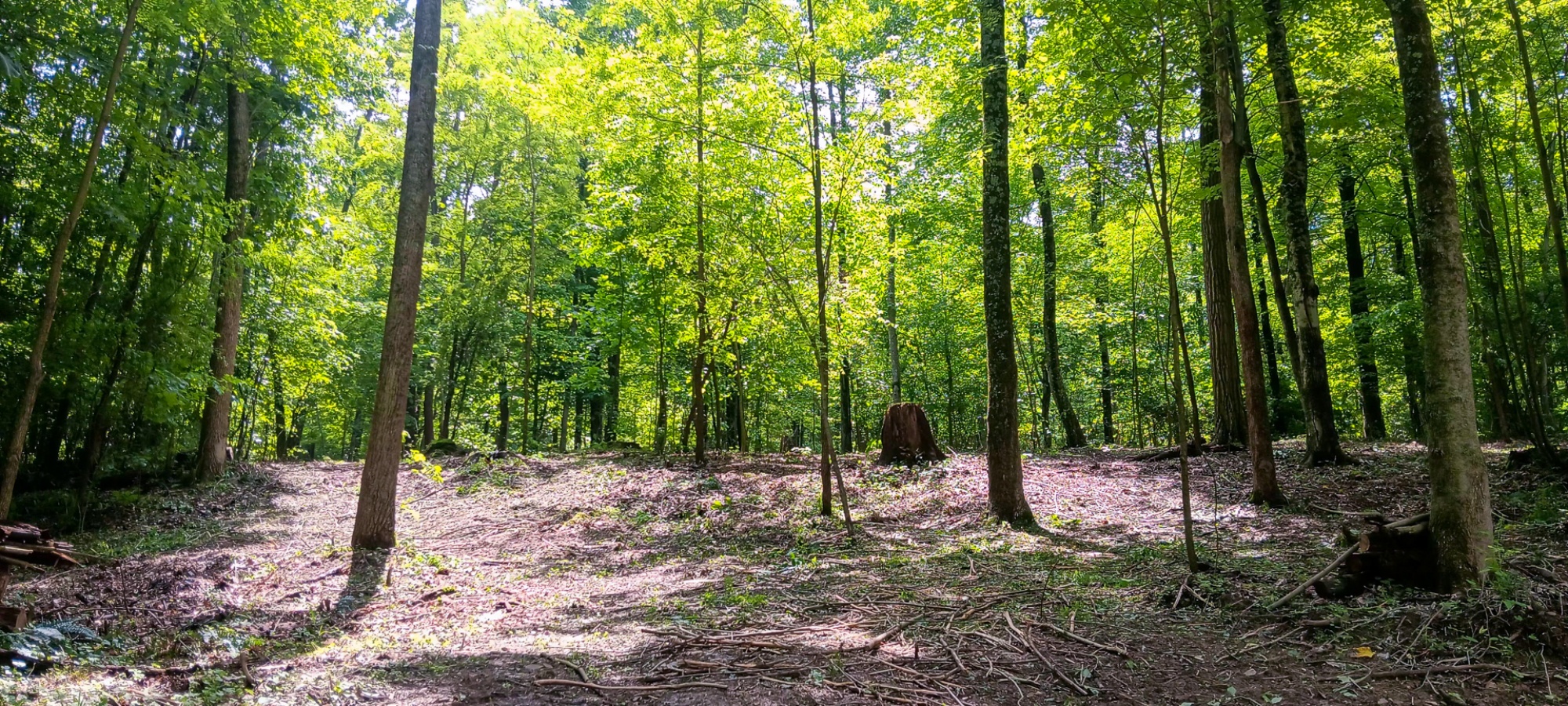
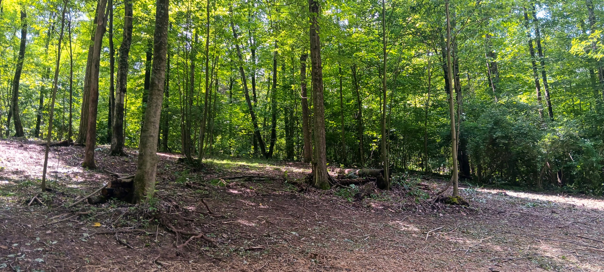
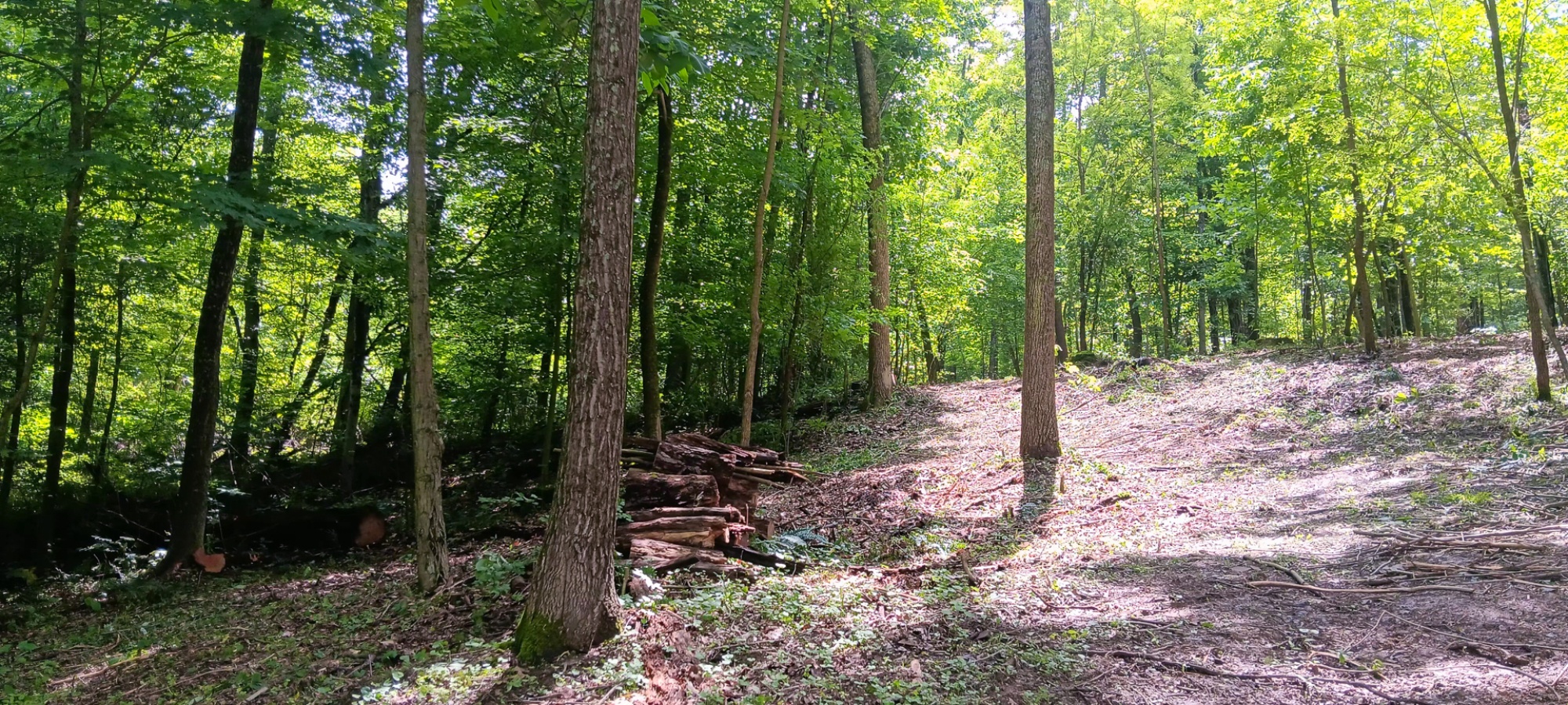
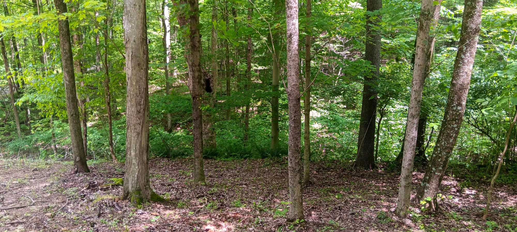
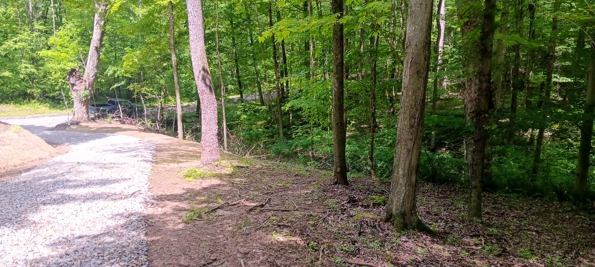
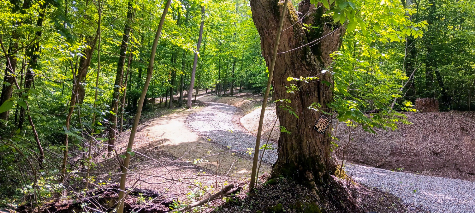
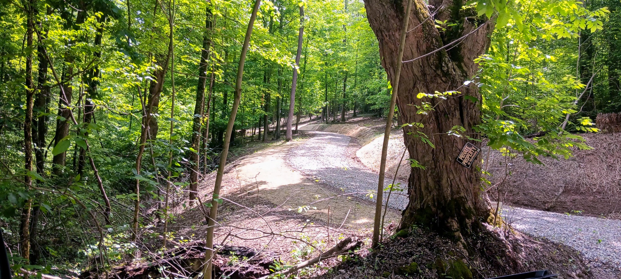
Lot N - The Woods at Flint Ridge3.5 Acre Wooded Estate Home Site
Mulberry Rd, Hopewell Twp, Licking Co, Ohio
The Woods at Flint Ridge is Located:
0 Mulberry Rd, Newark, OH 43056
GPS Coordinates: 39.989819, -82.244144
Google Map Link
A Countrytyme advantage
Take the property lines into the field.
On your phone, tap Walk property lines, allow your location when asked, and follow the blue dot in Tract Explorer to see your position in relation to the mapped boundary while you explore.
Walk property linesProperty photos