This property has sold.
The interactive map and property-line walking tools remain available. Driving directions are not provided for sold properties.
Interactive property map
Explore this property map. Switch aerial, topographic, soil, water, contour, and terrain layers while the mapped project boundary stays visible.
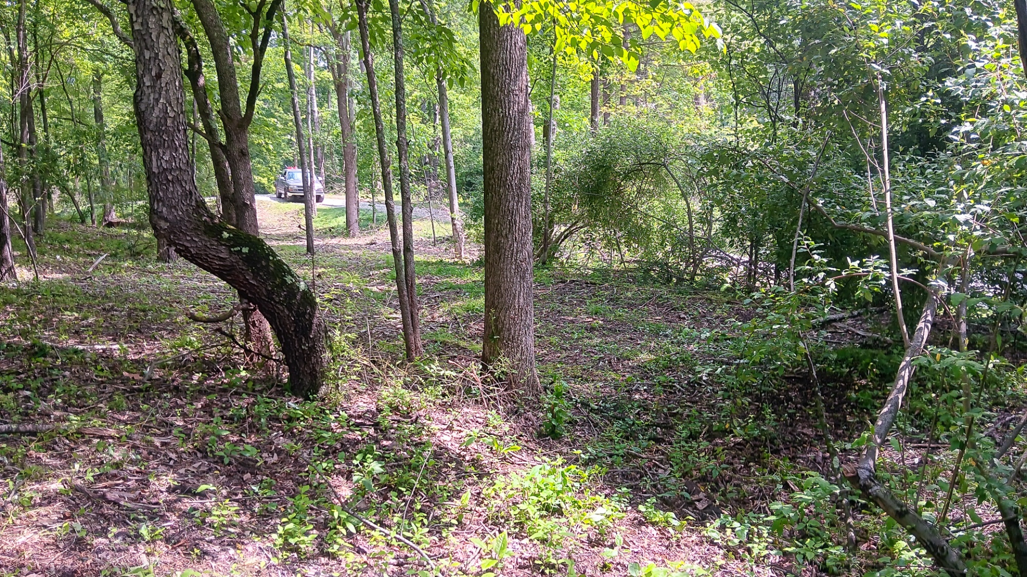
Property Description Tract 4 at Turkey RunPicturesque Cabin/Home Site or Recreational Retreat
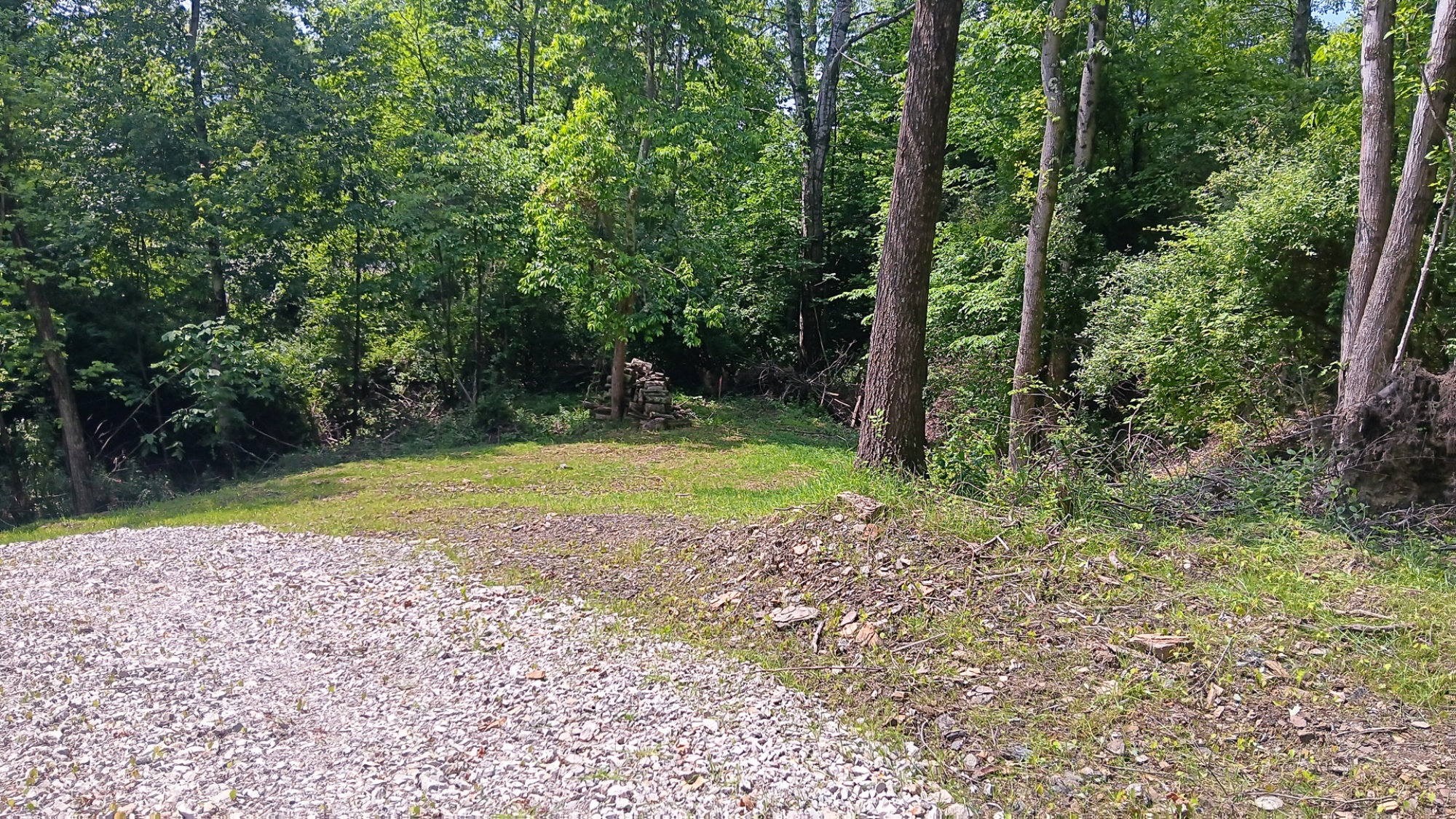
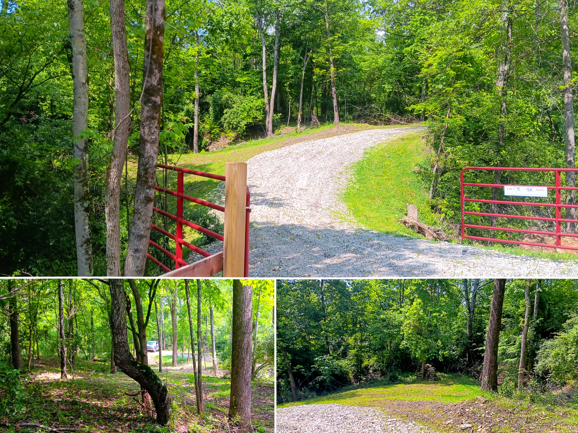
Camp, Play, or Stay! Well Suited for a Cabin
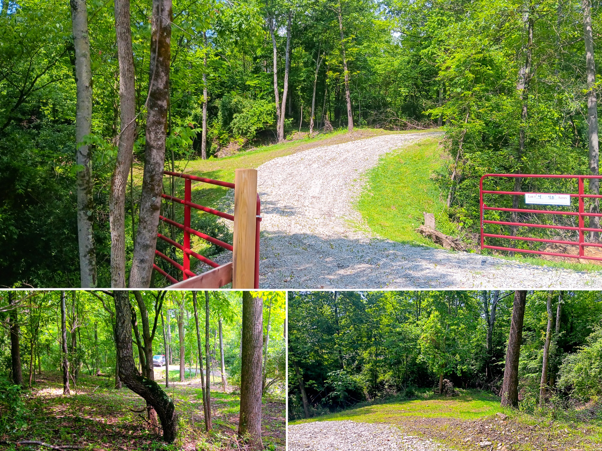
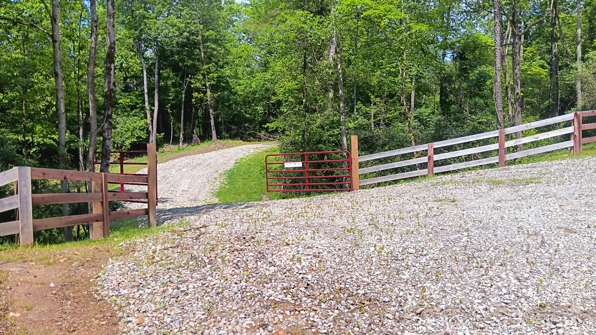
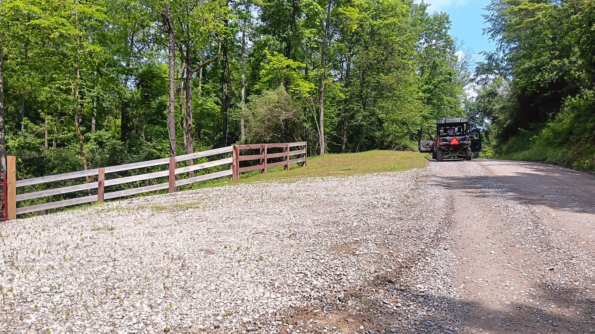
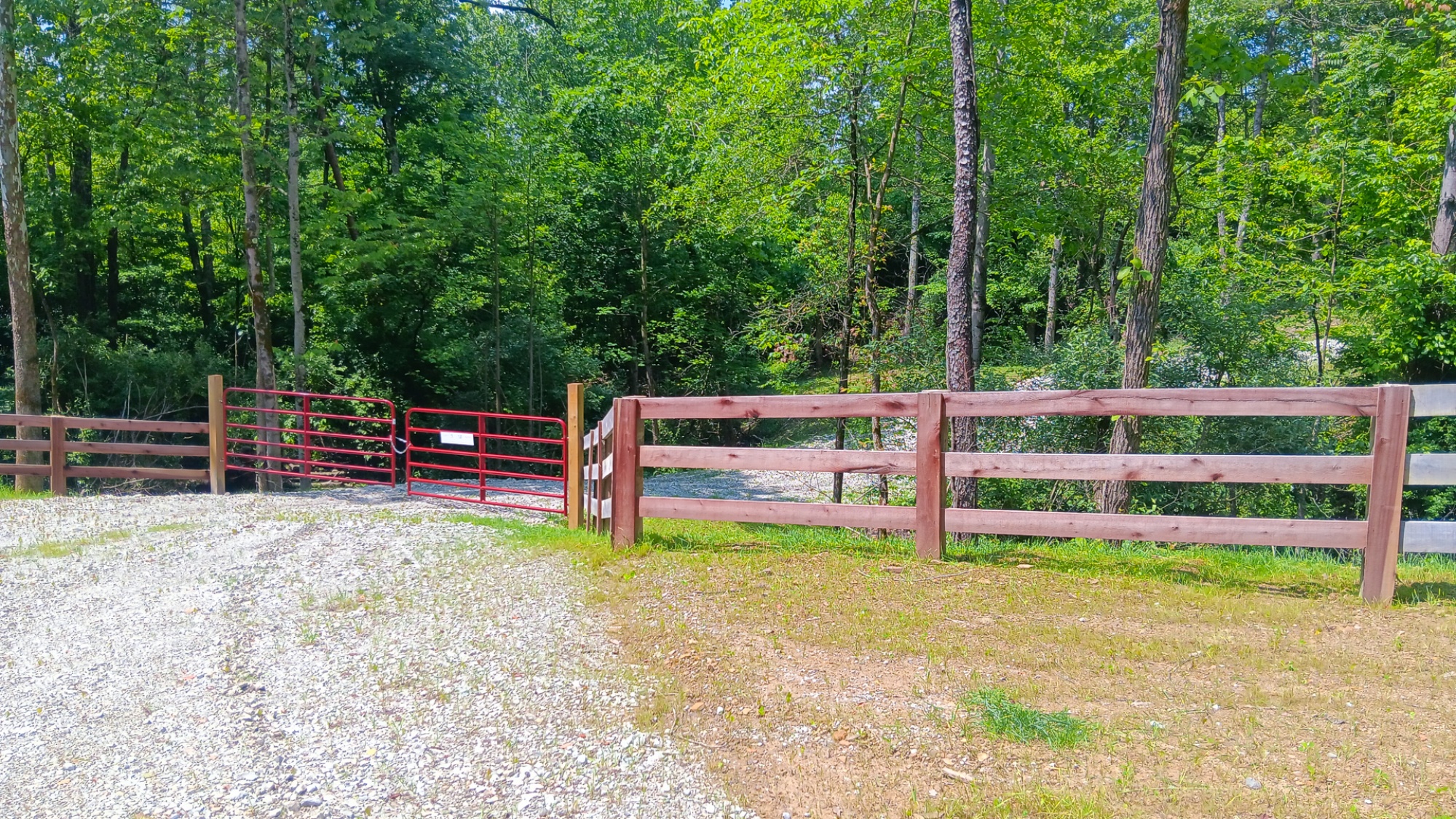
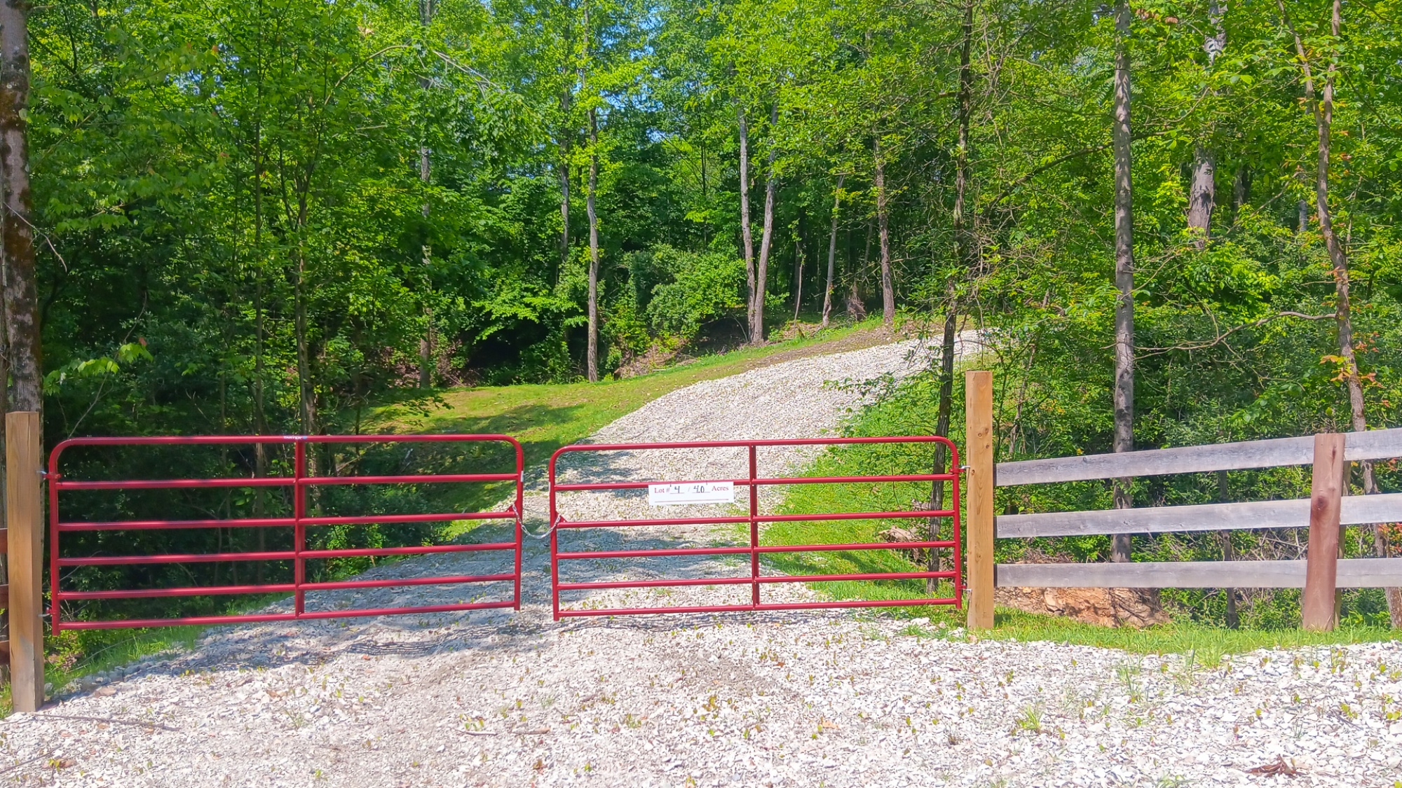
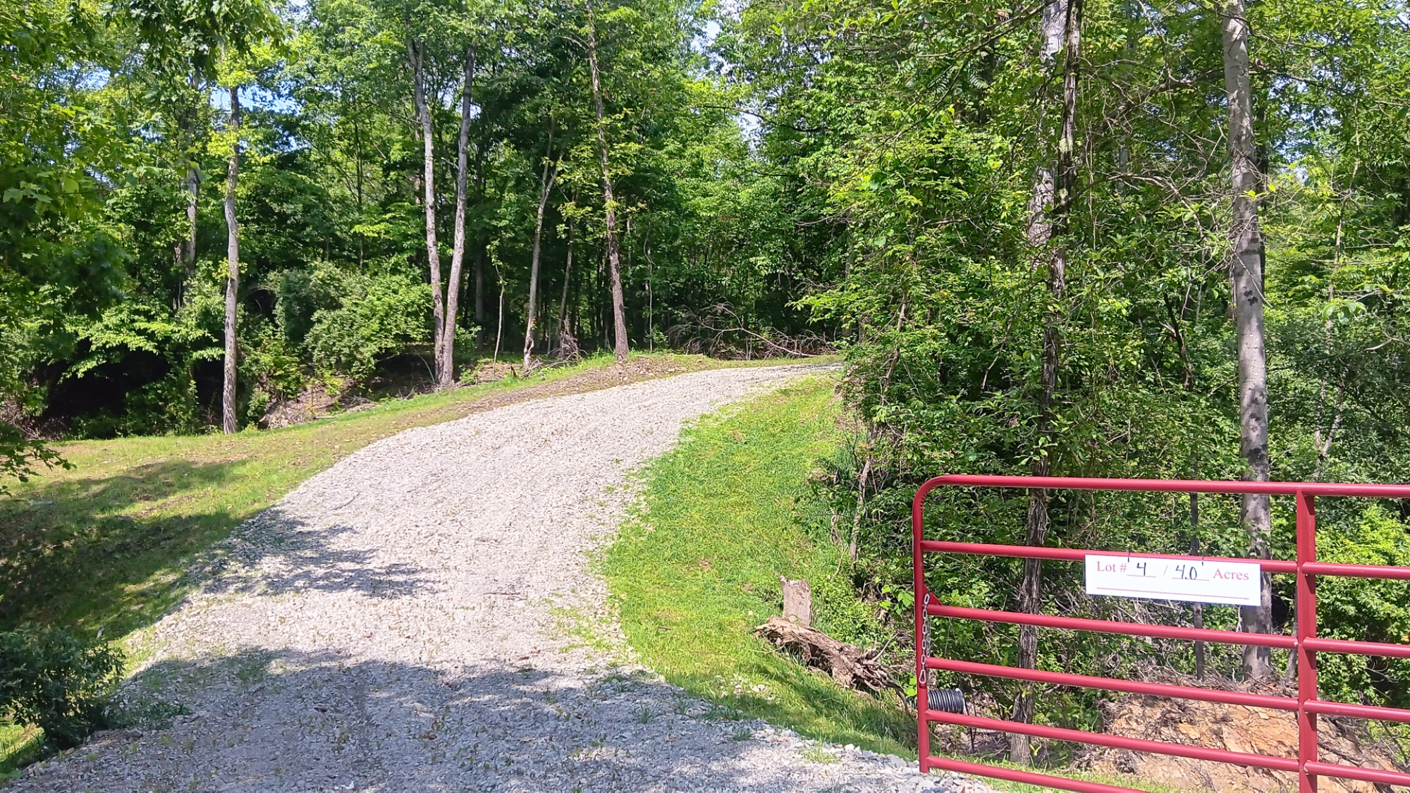
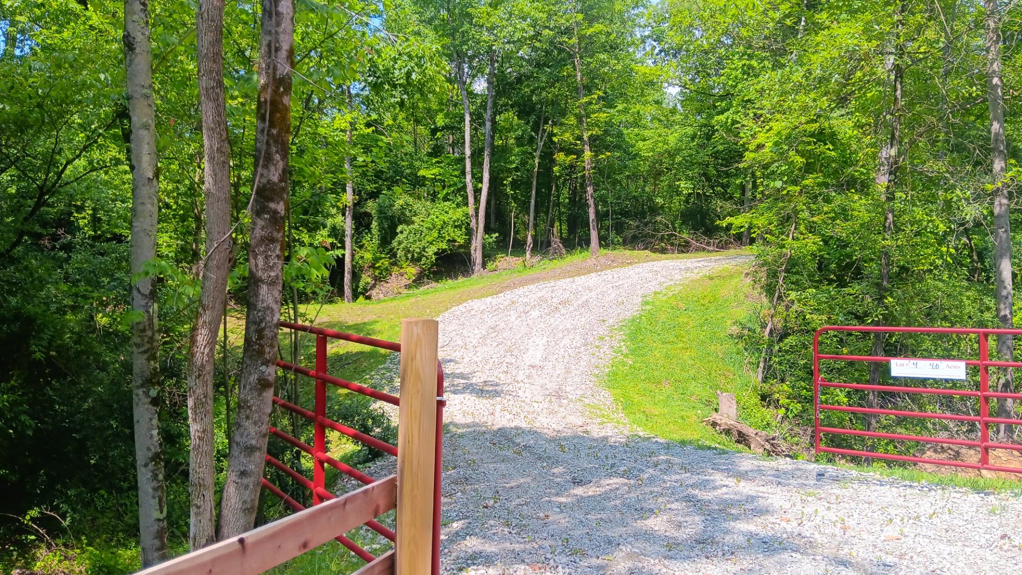
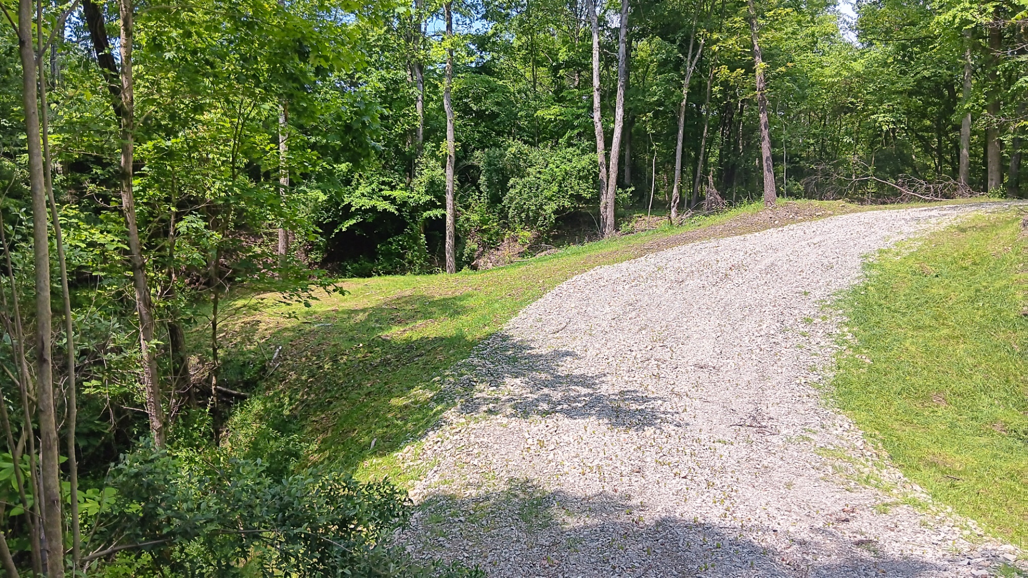
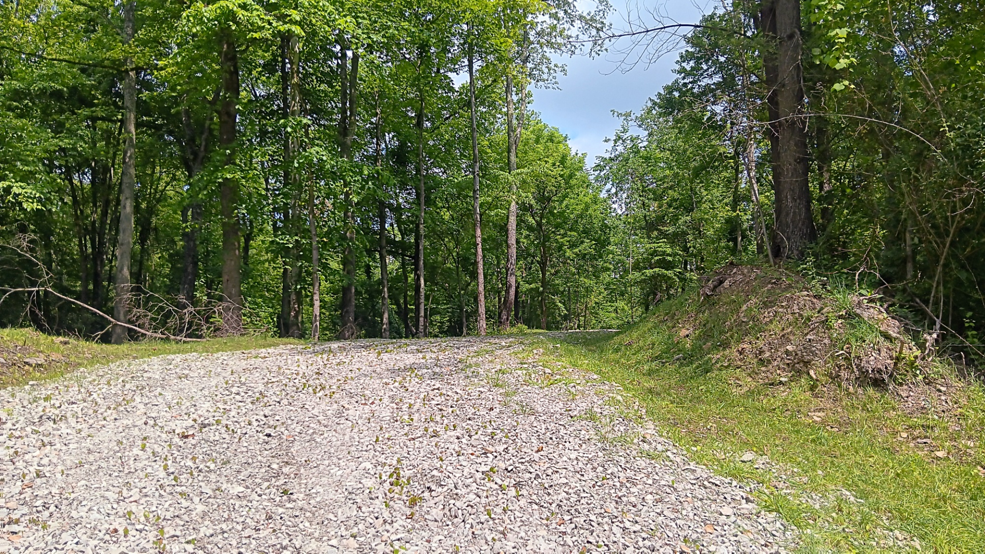
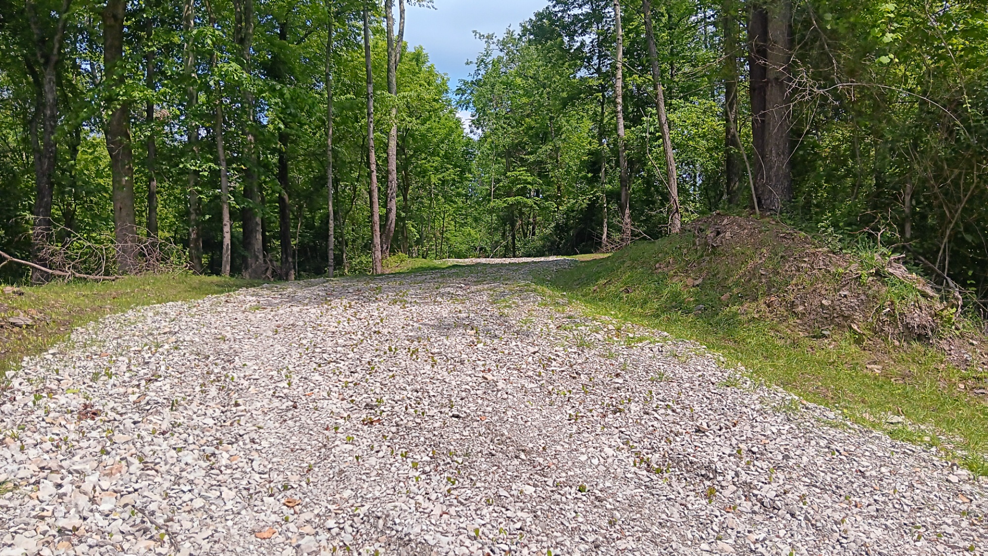
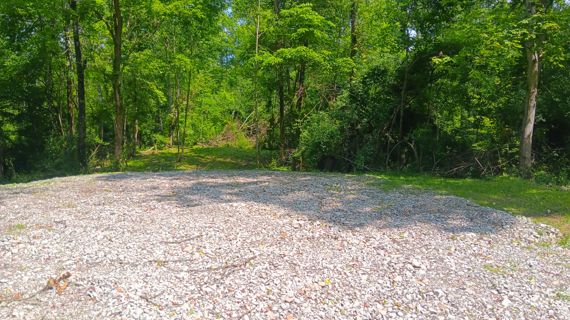
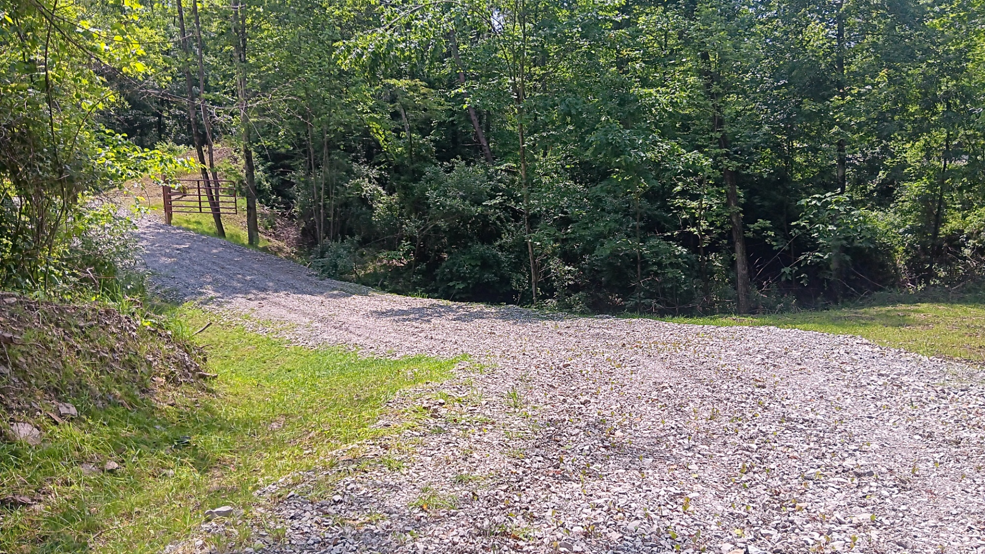
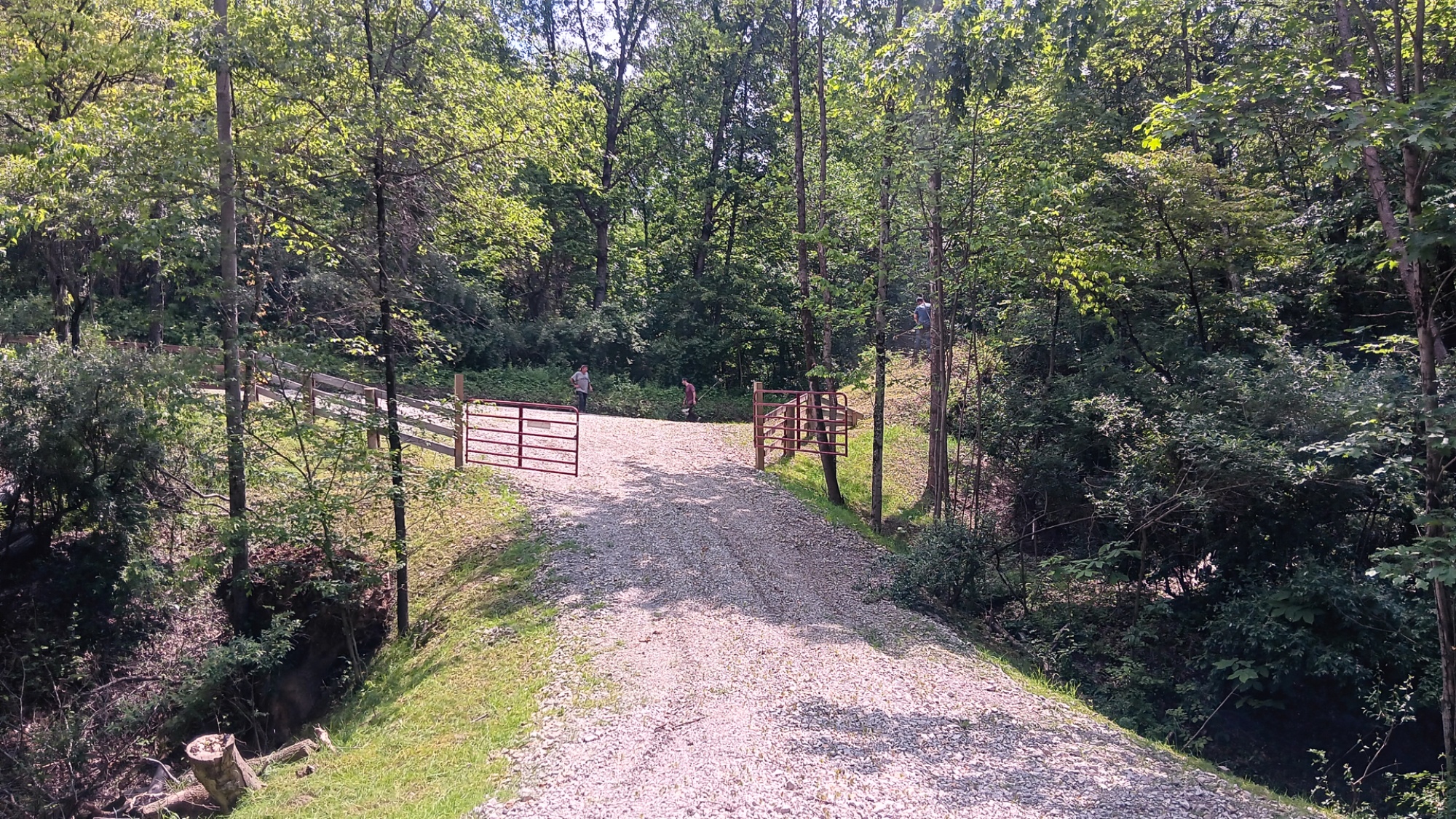
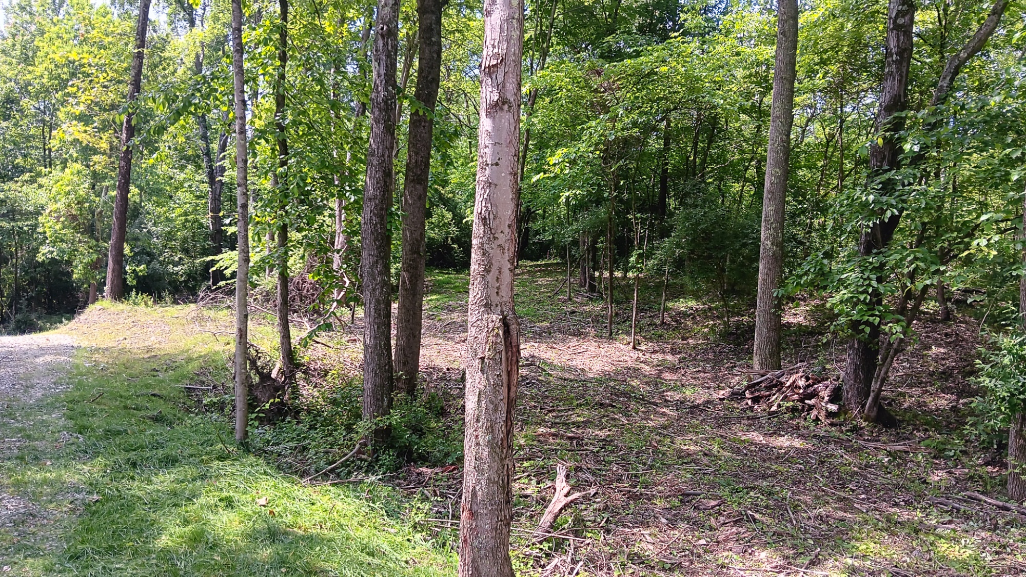
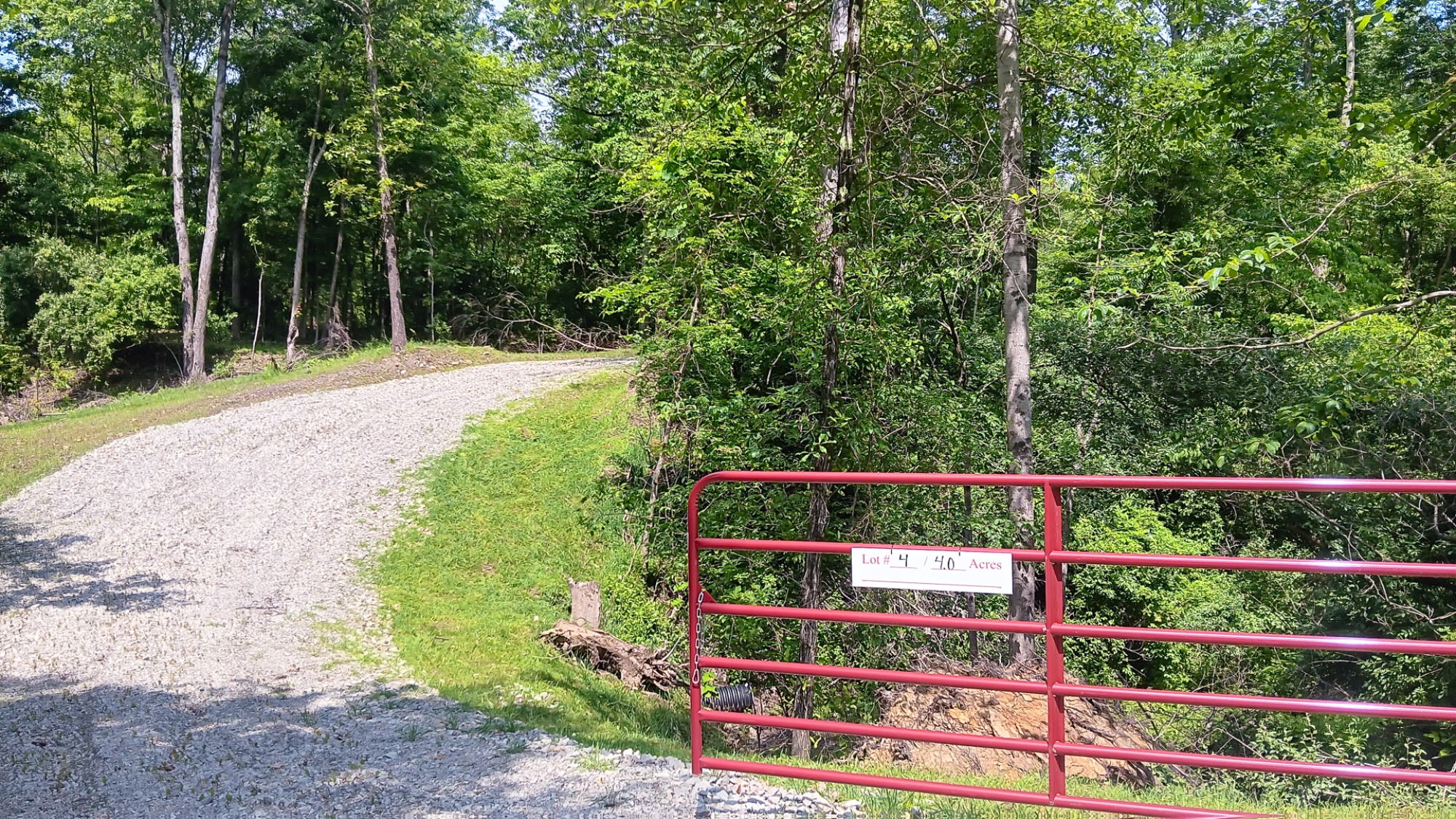
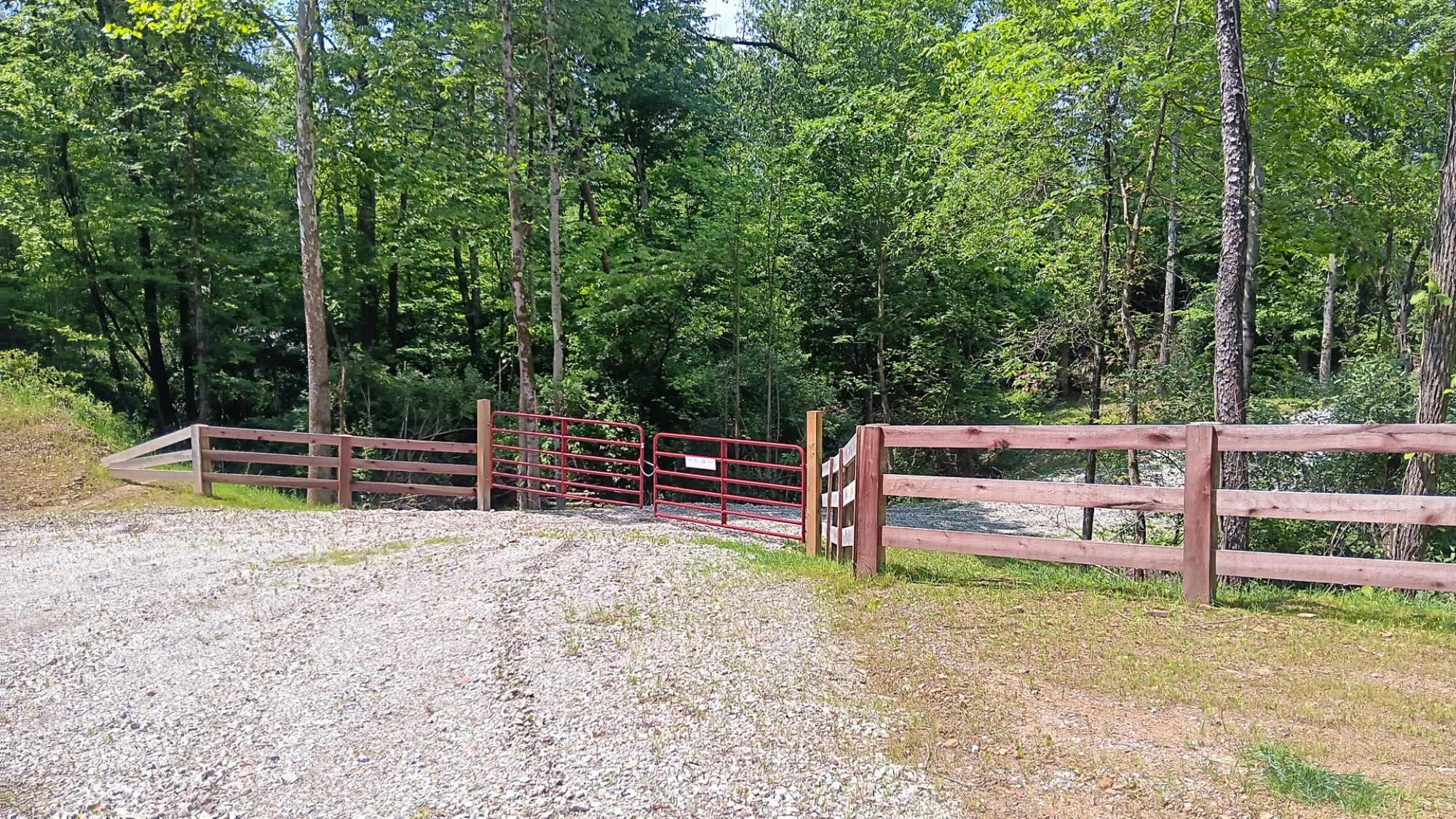
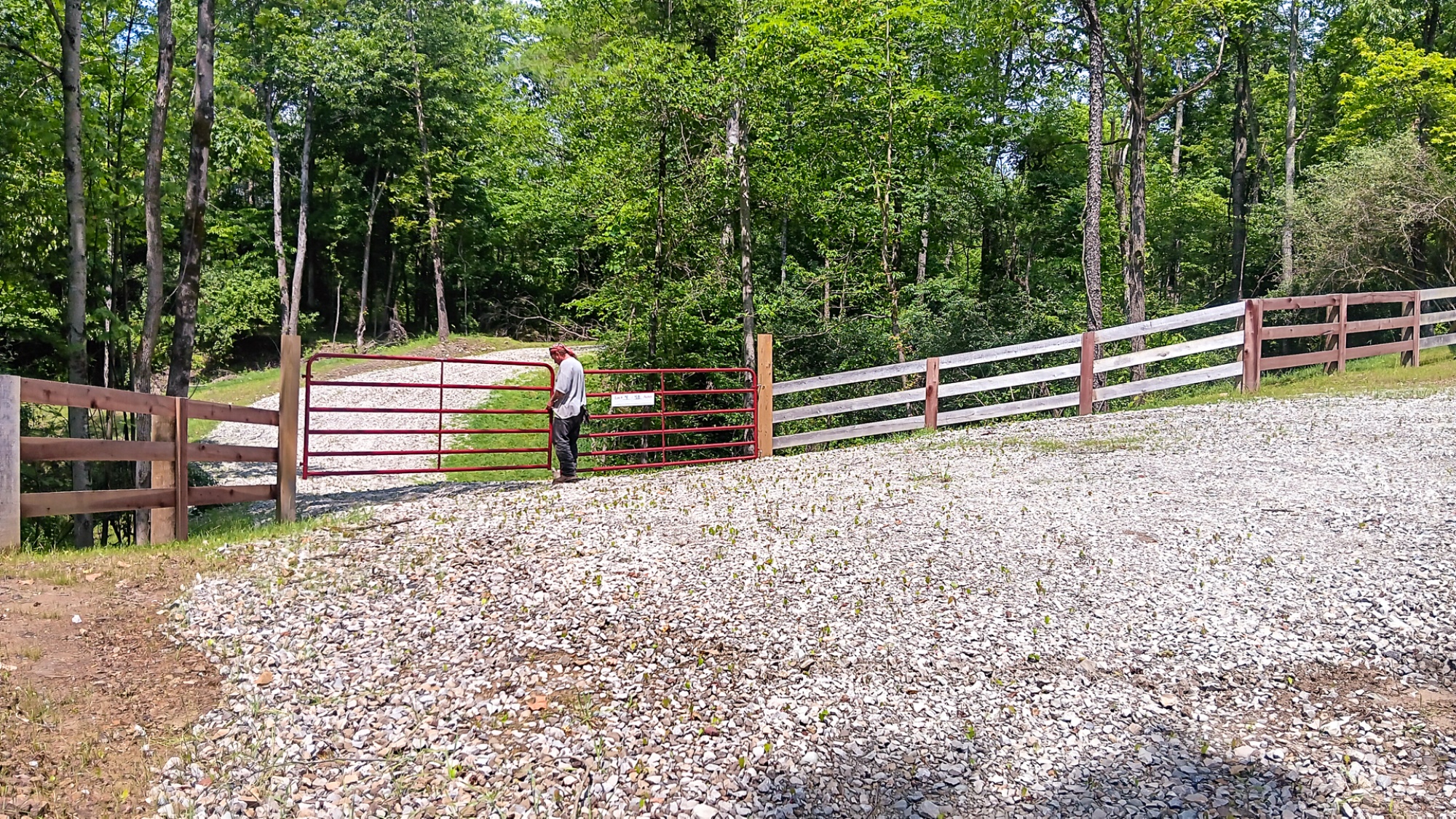
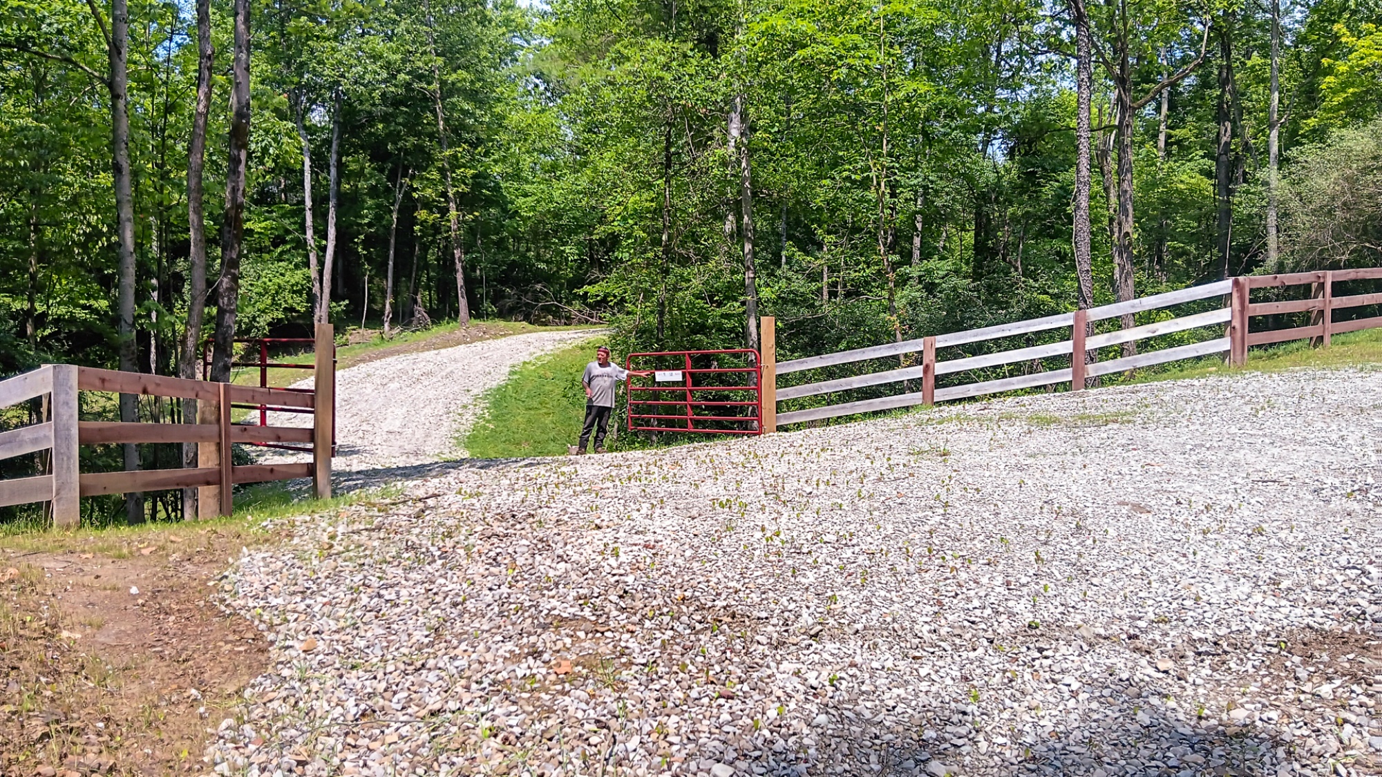
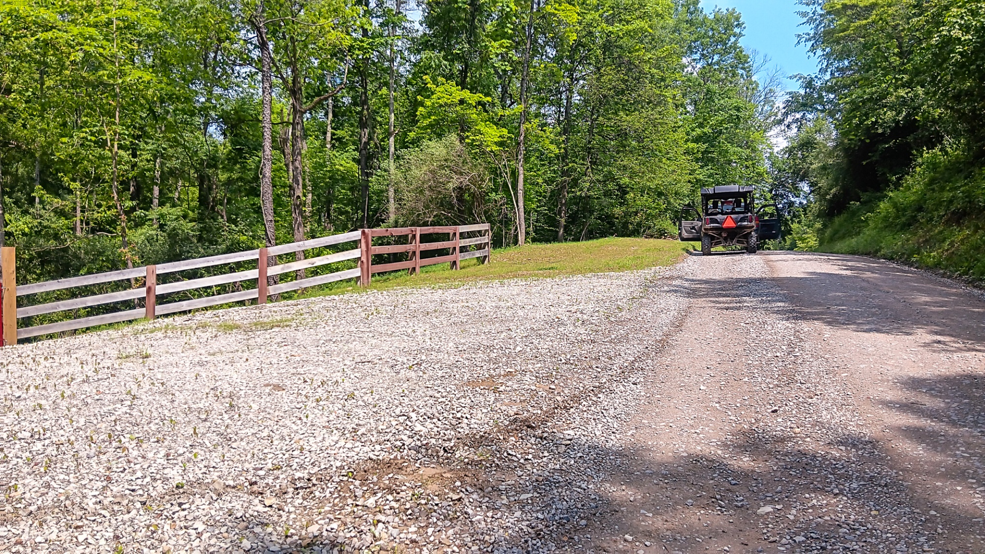
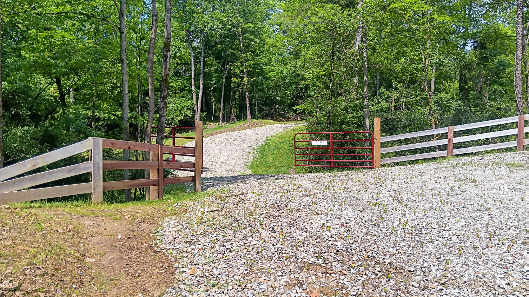
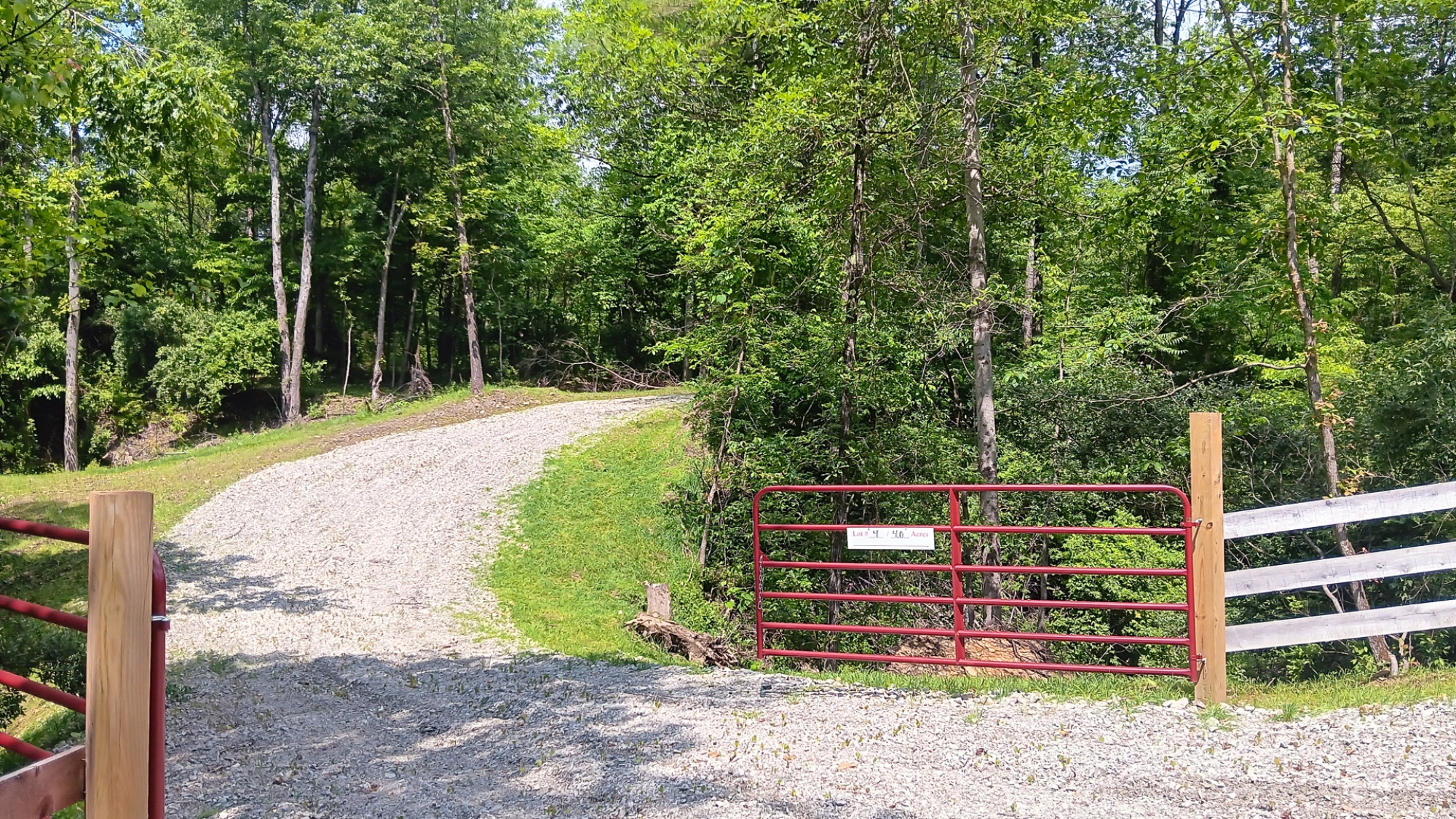
New Winding Gravel Driveway to Secluded Building Site
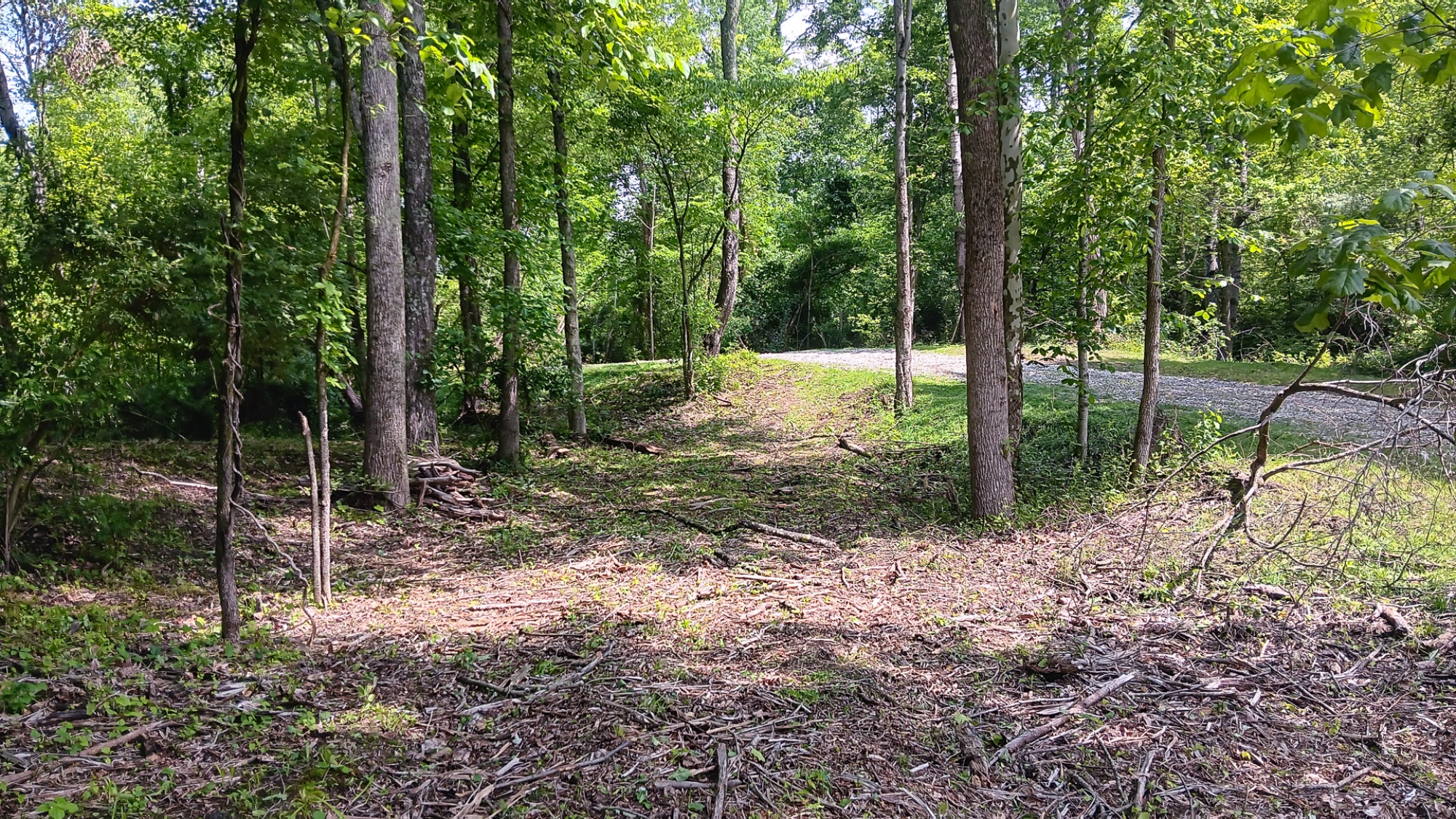
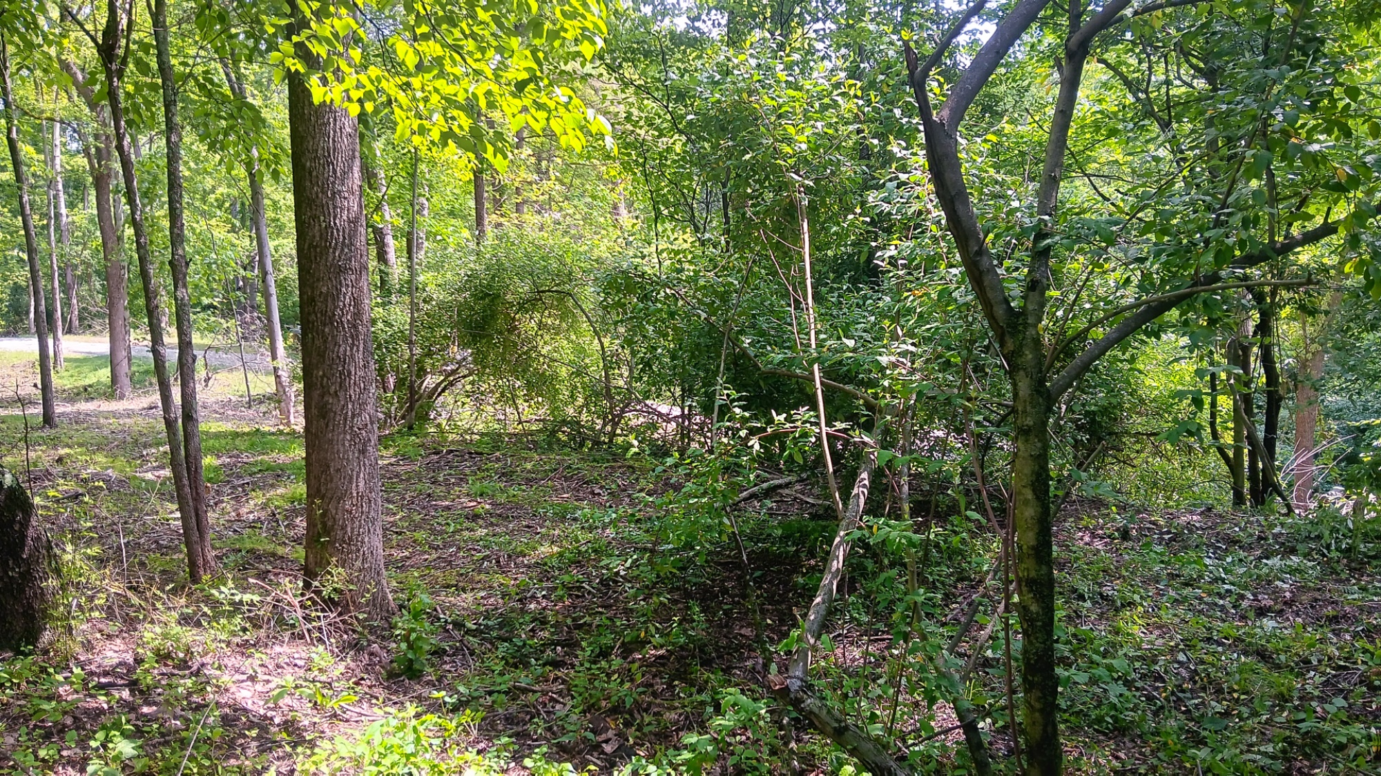
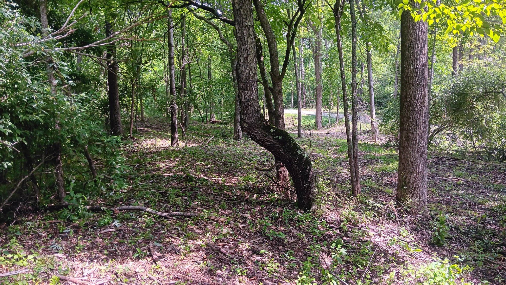
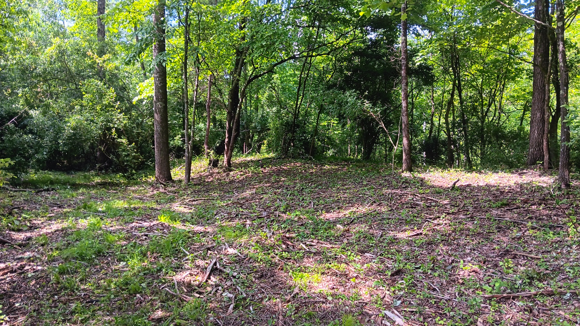
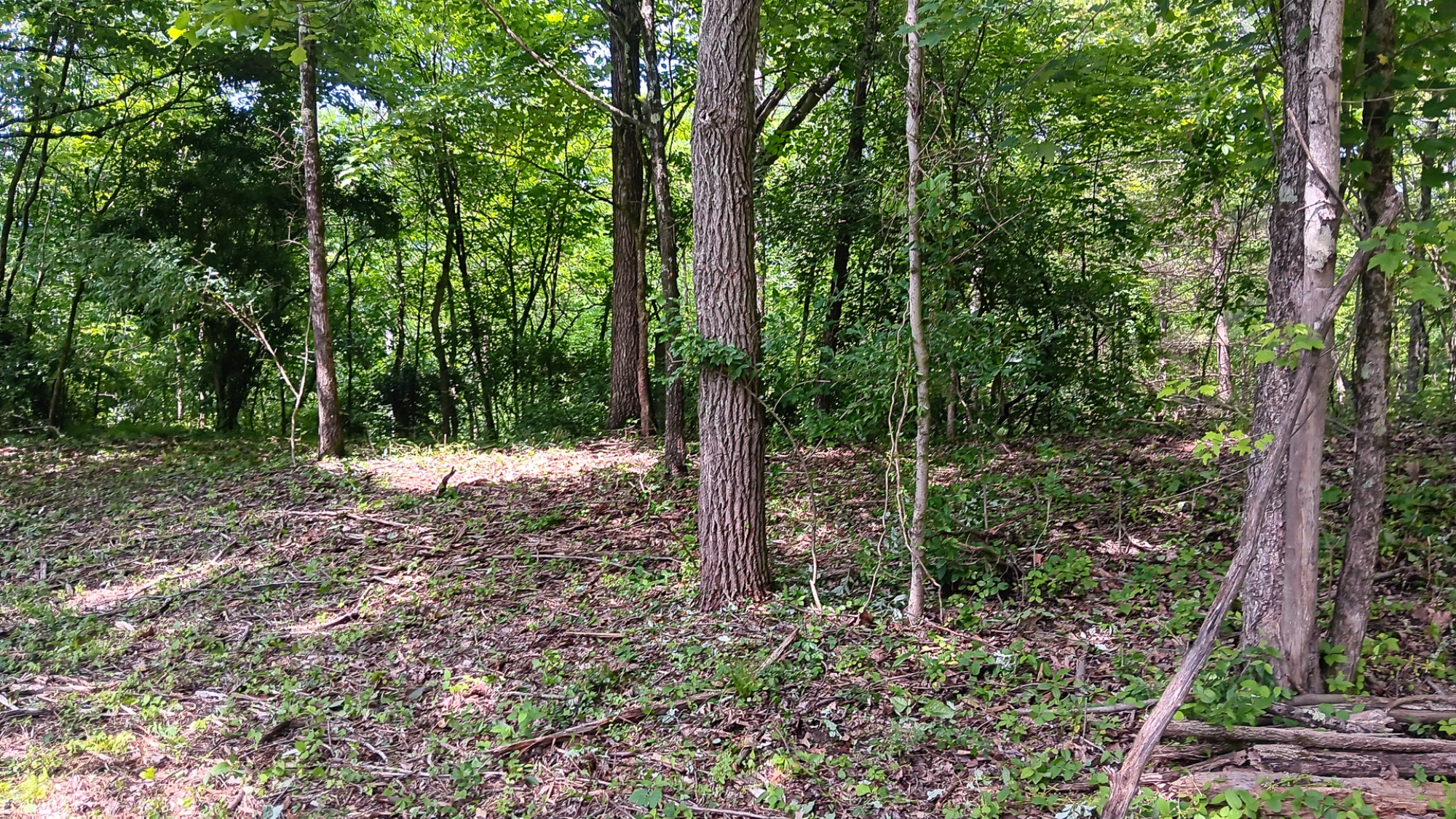
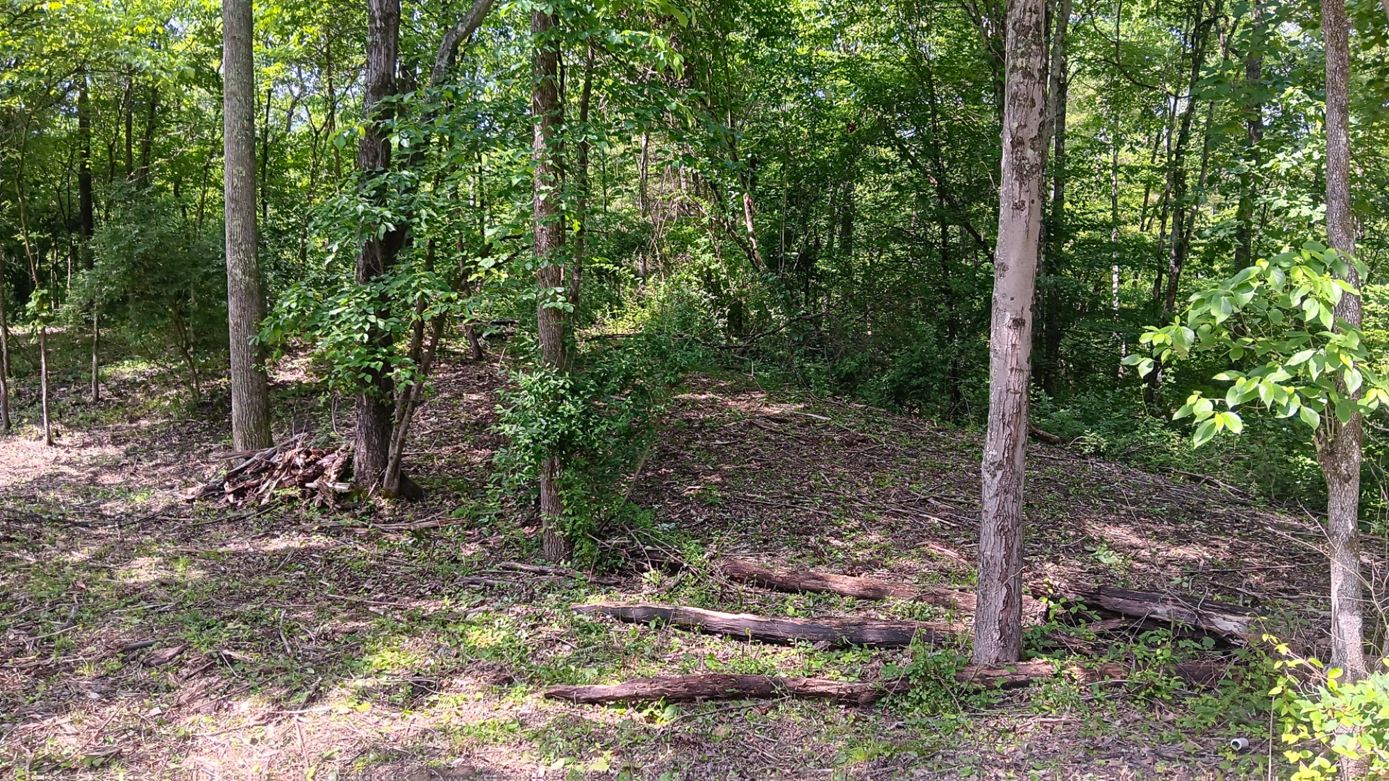
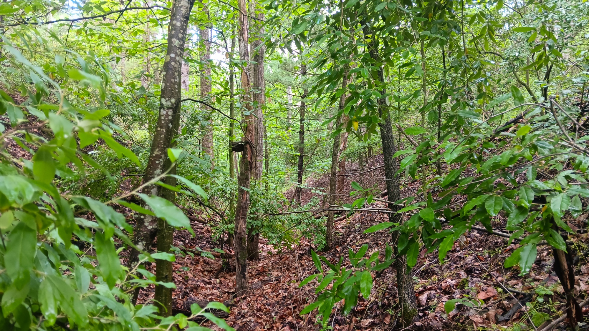
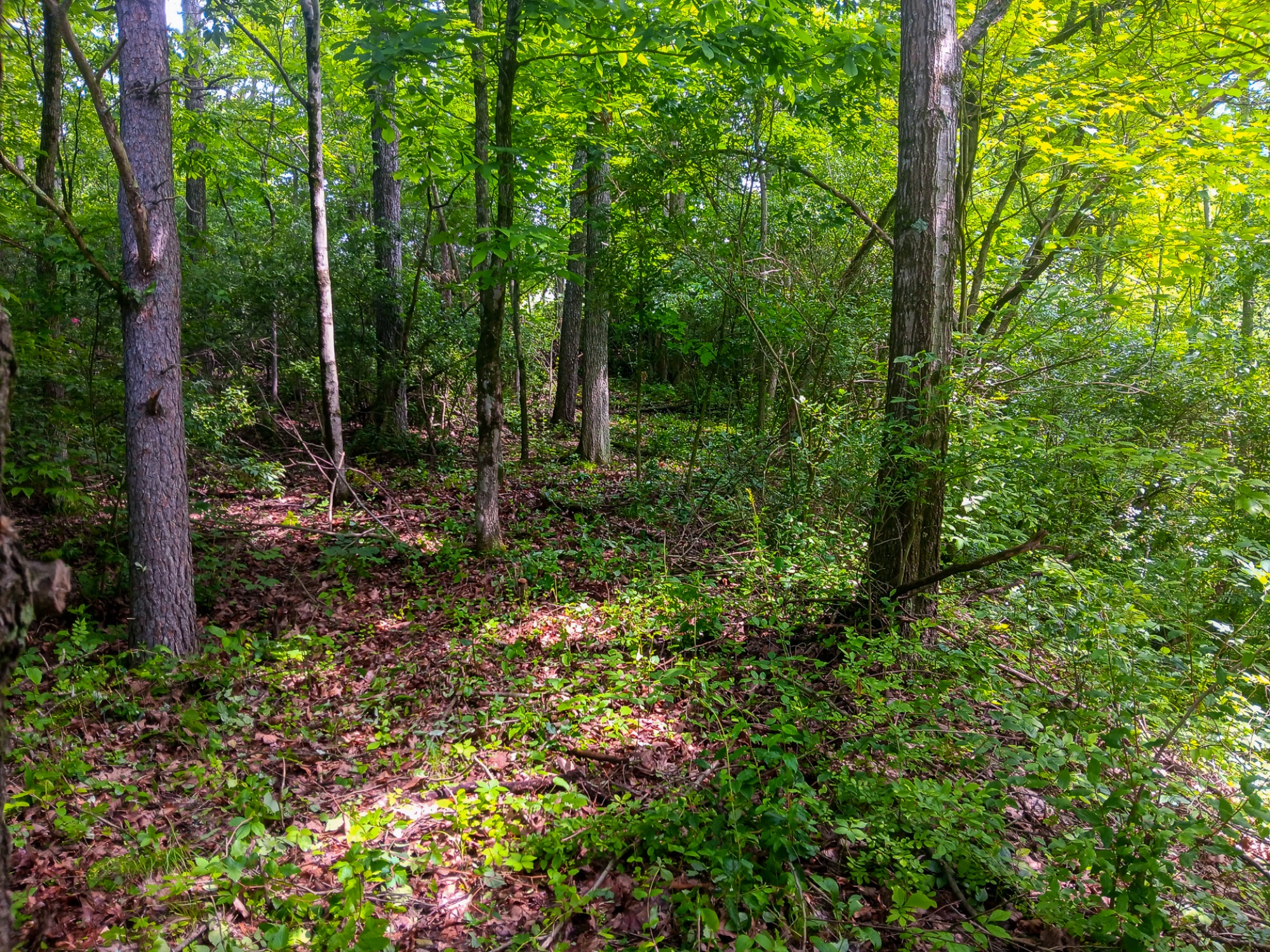
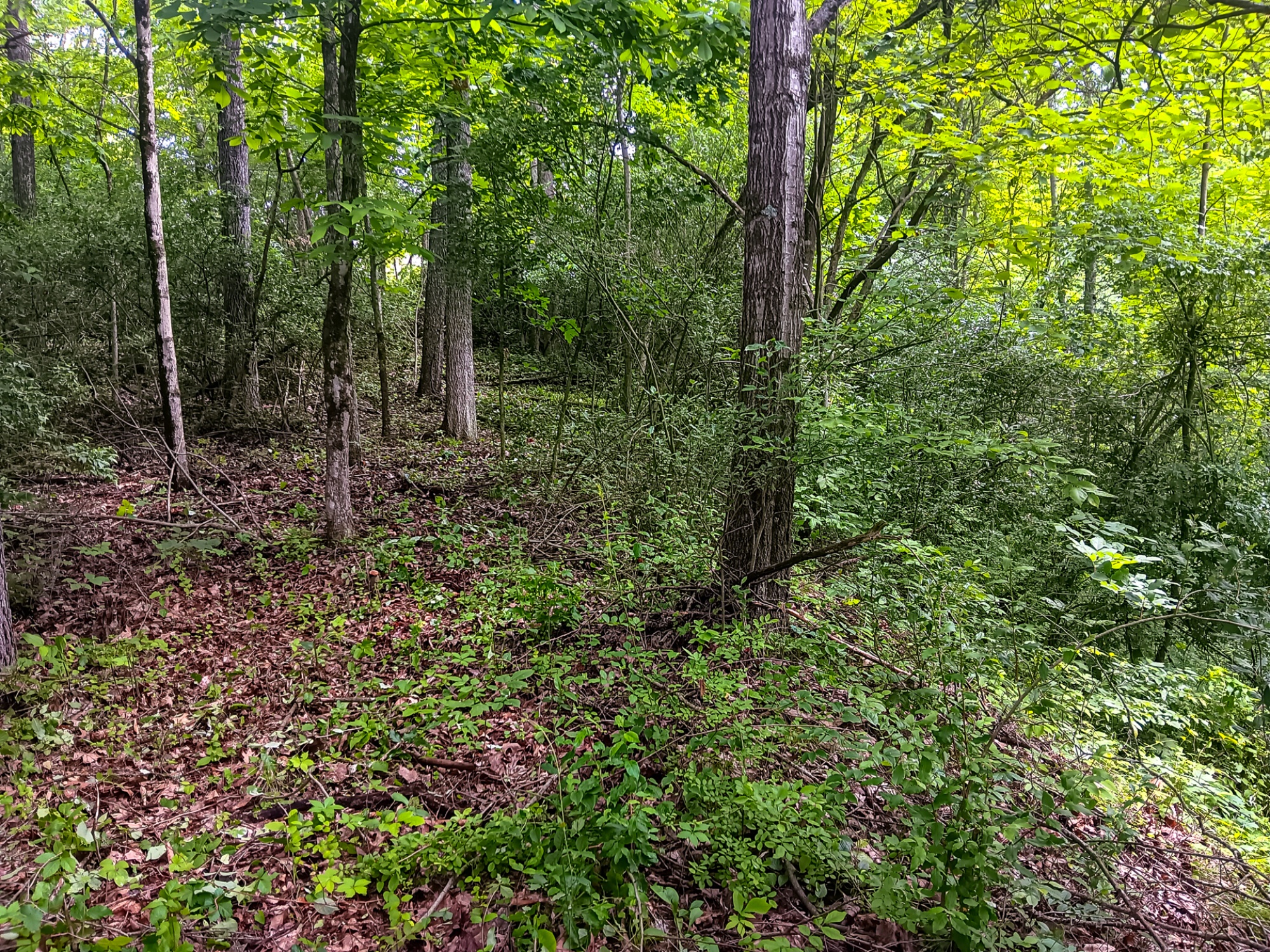
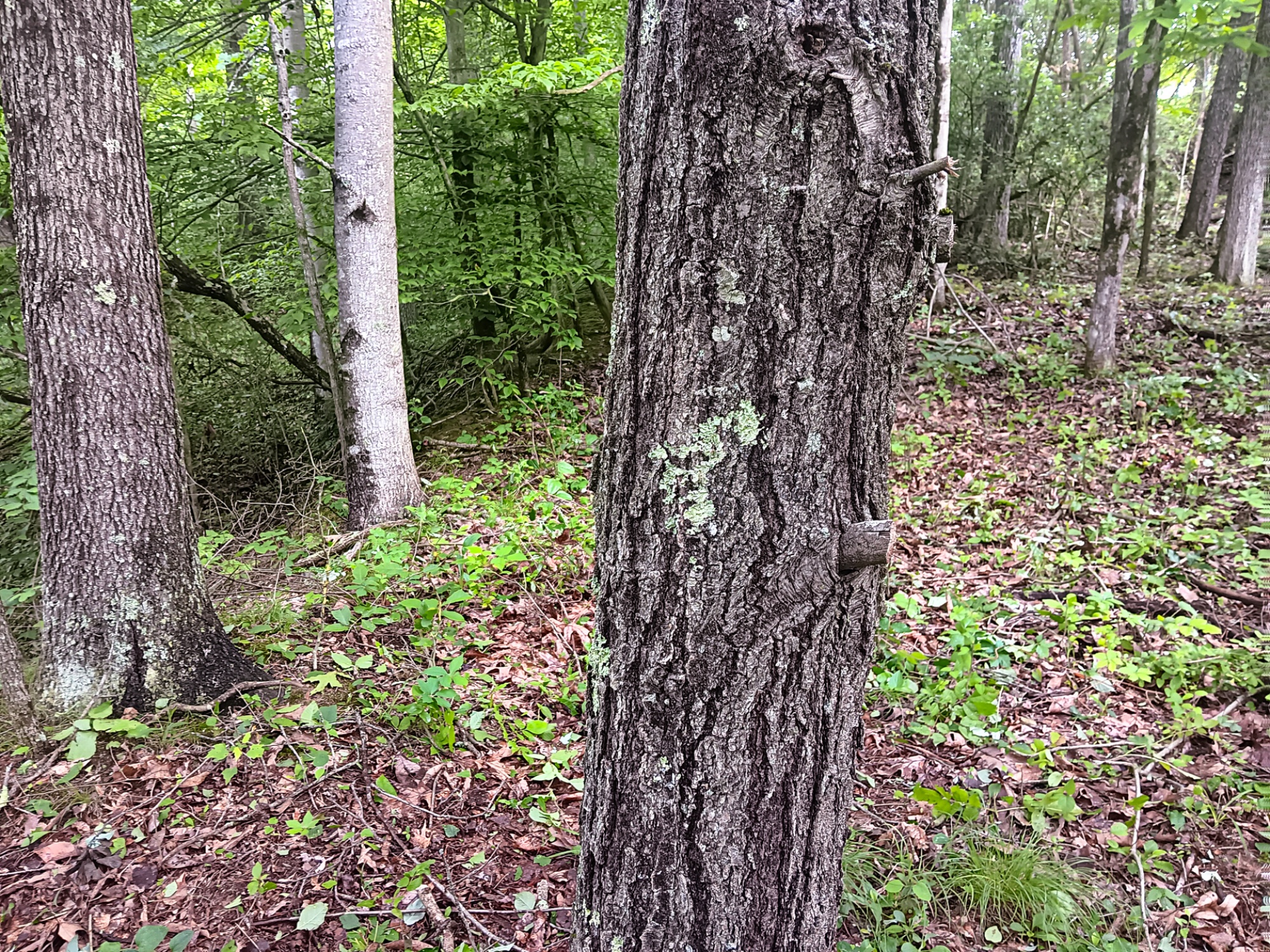
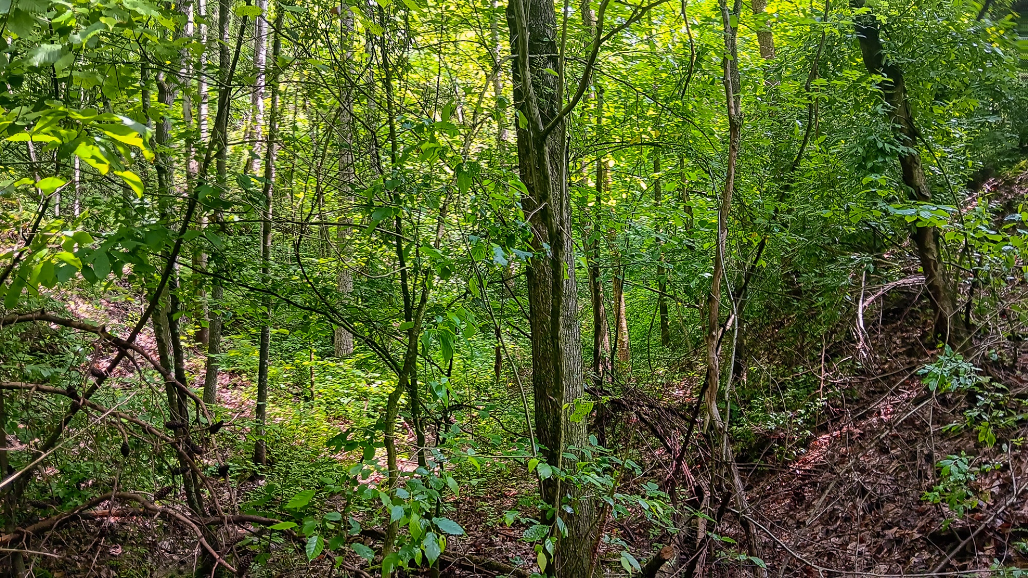
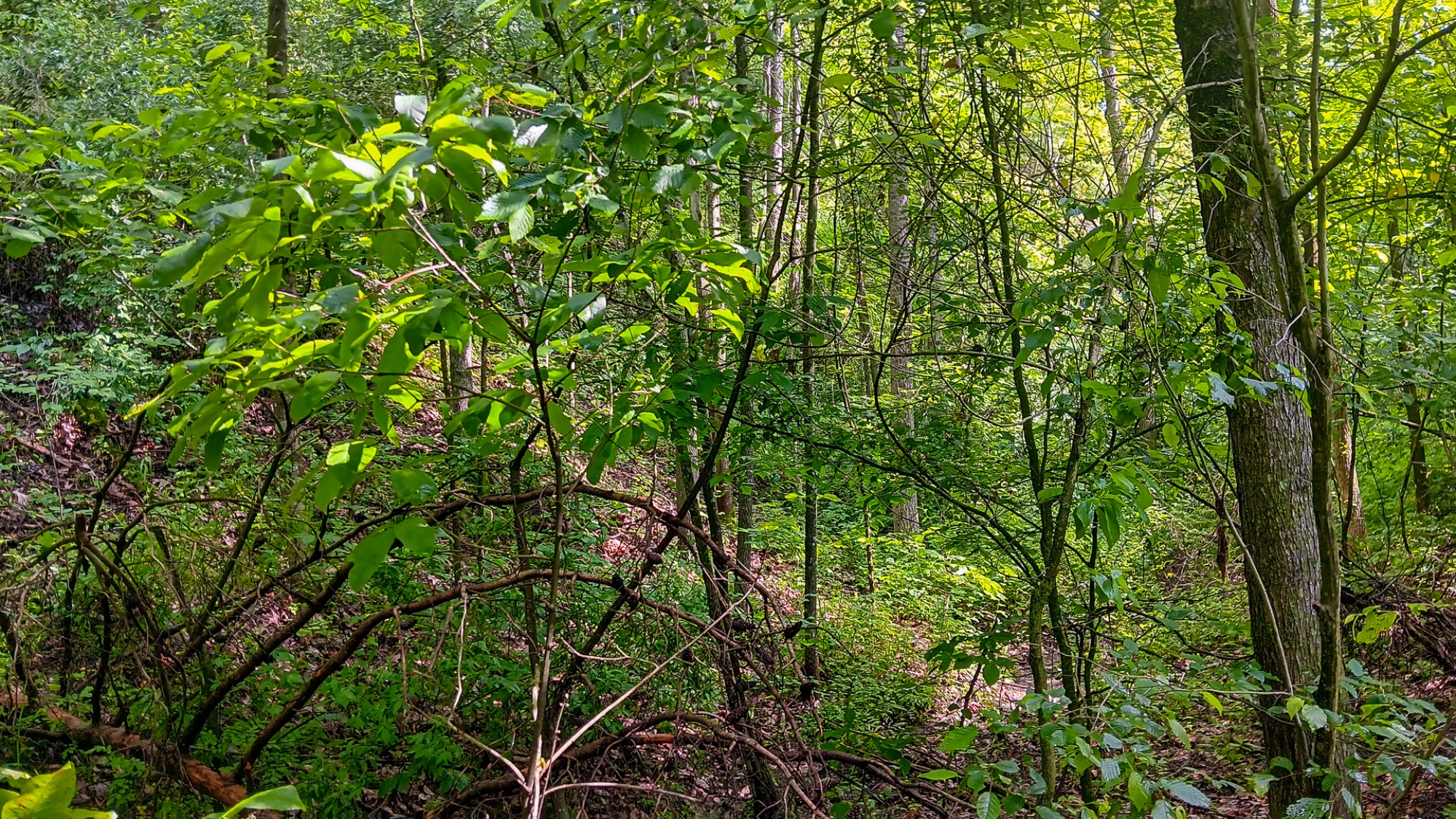
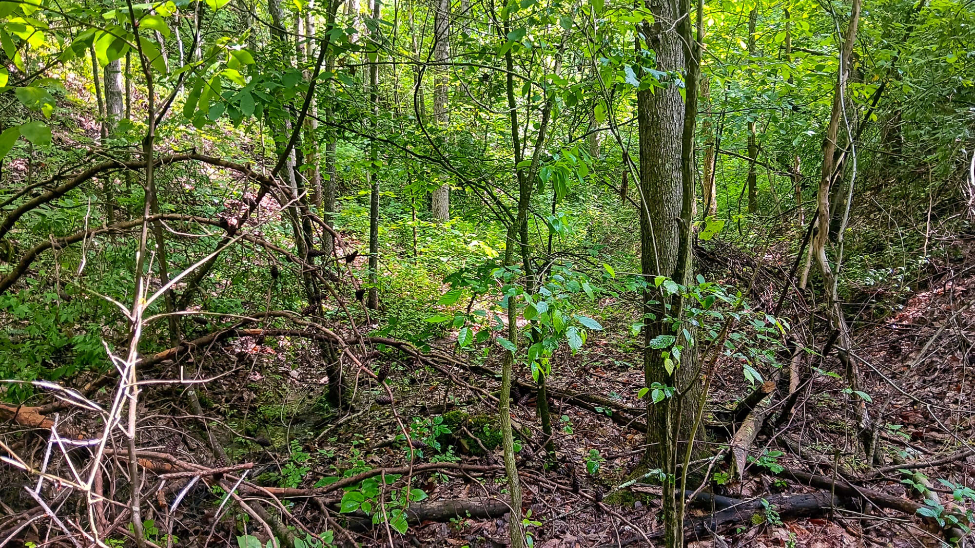
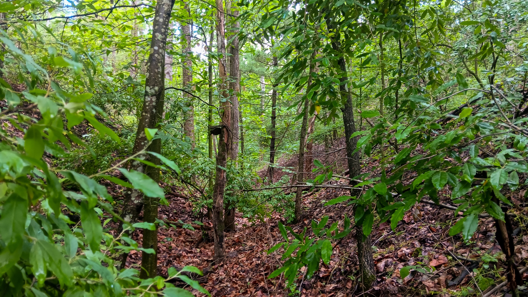
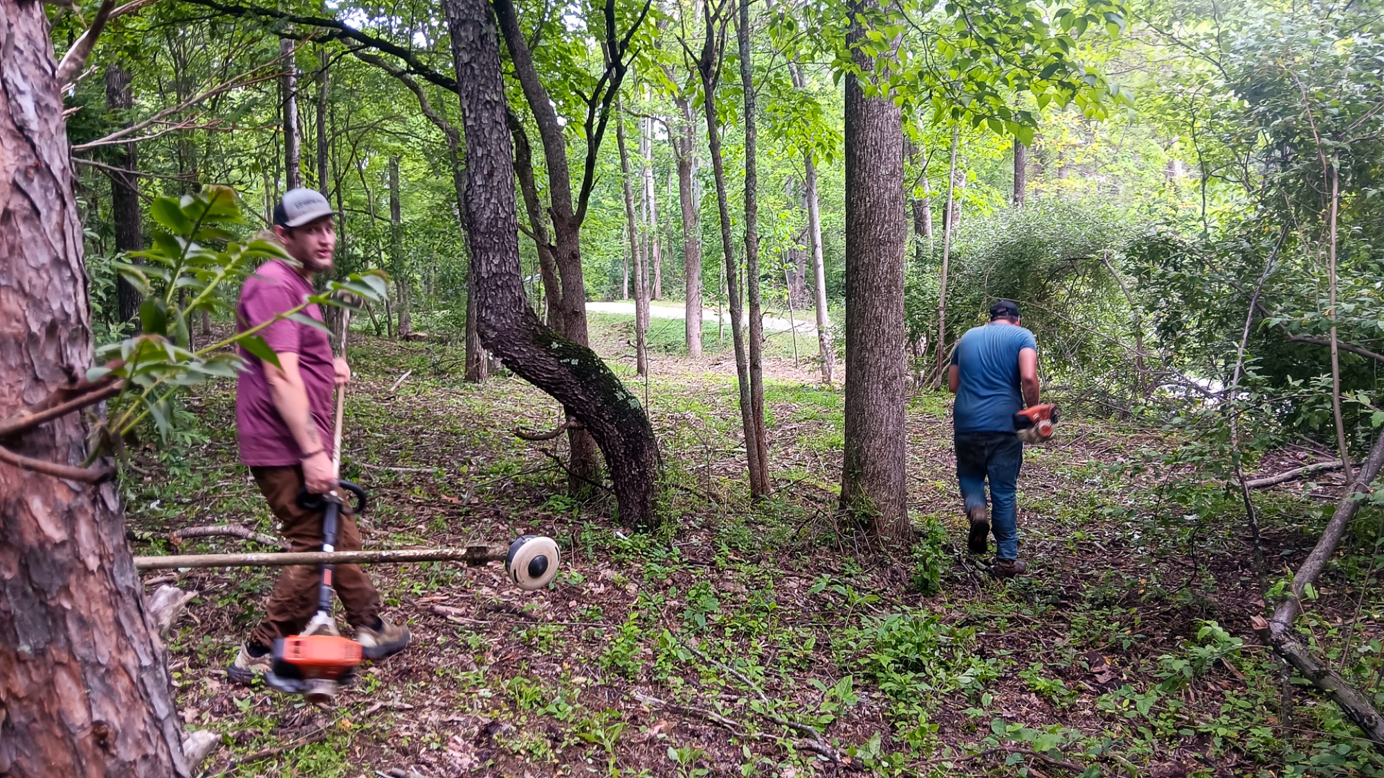
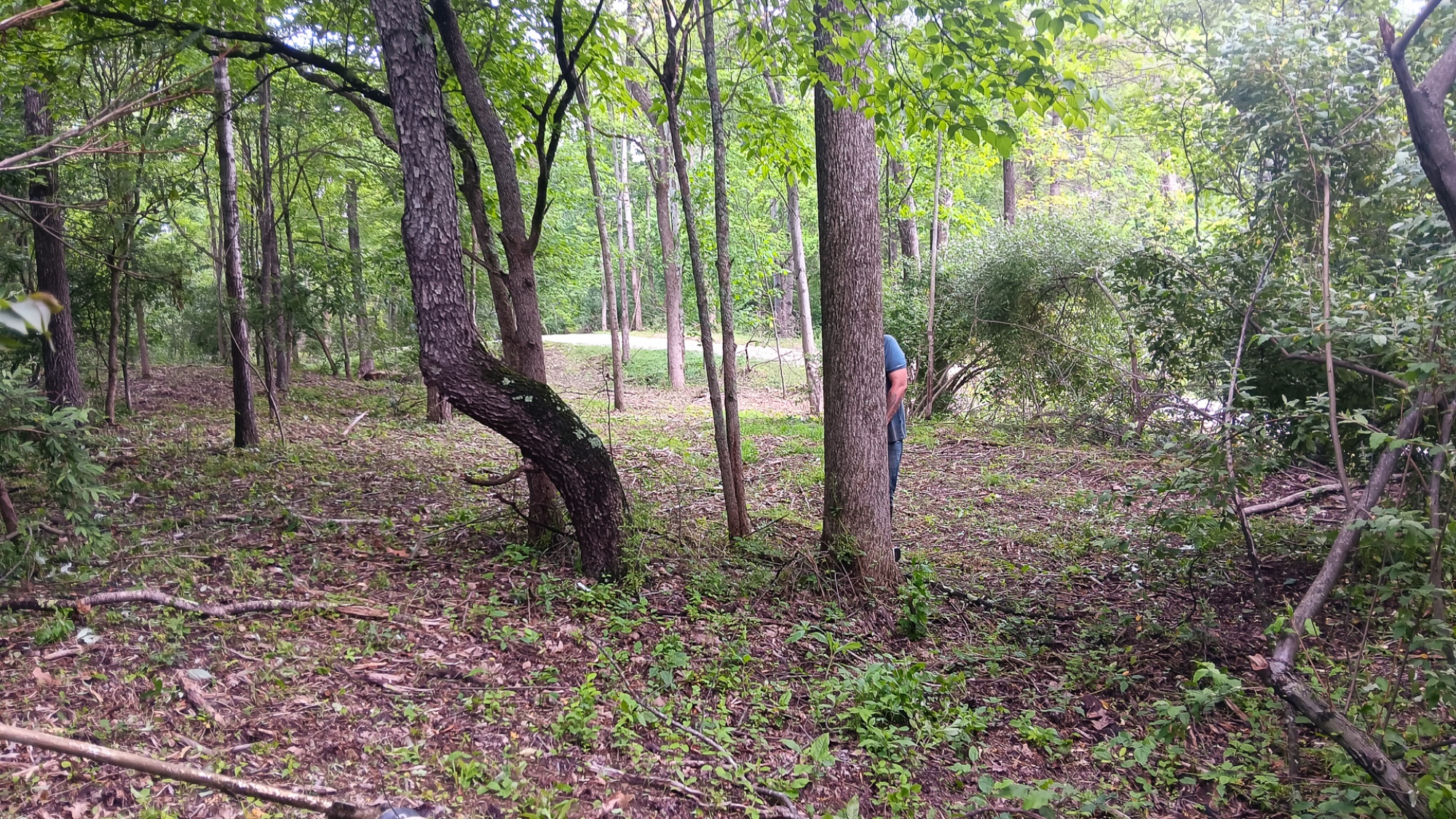
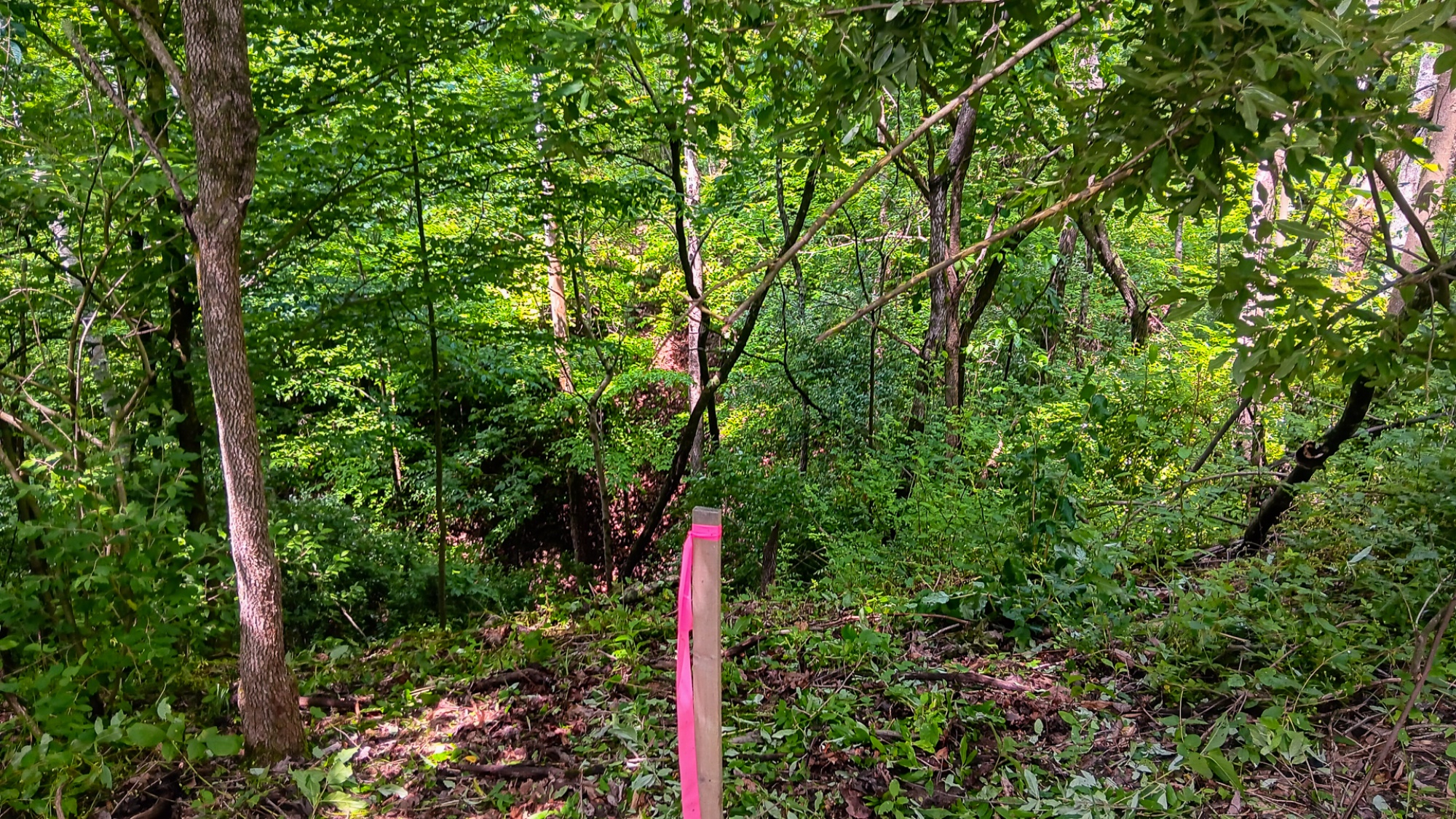
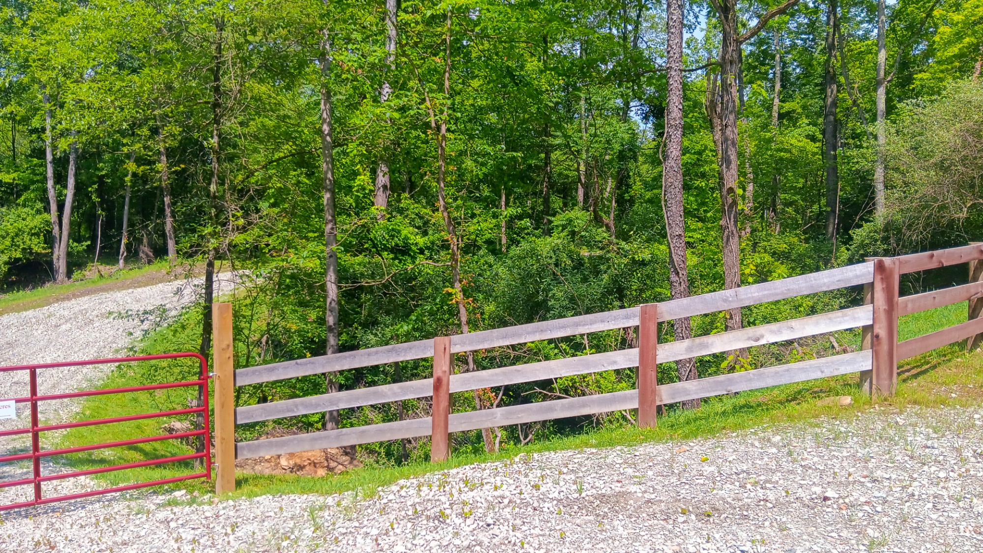
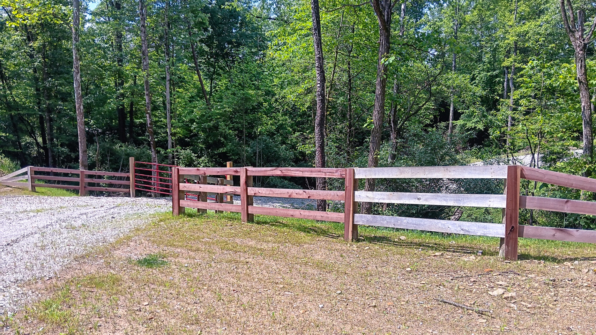
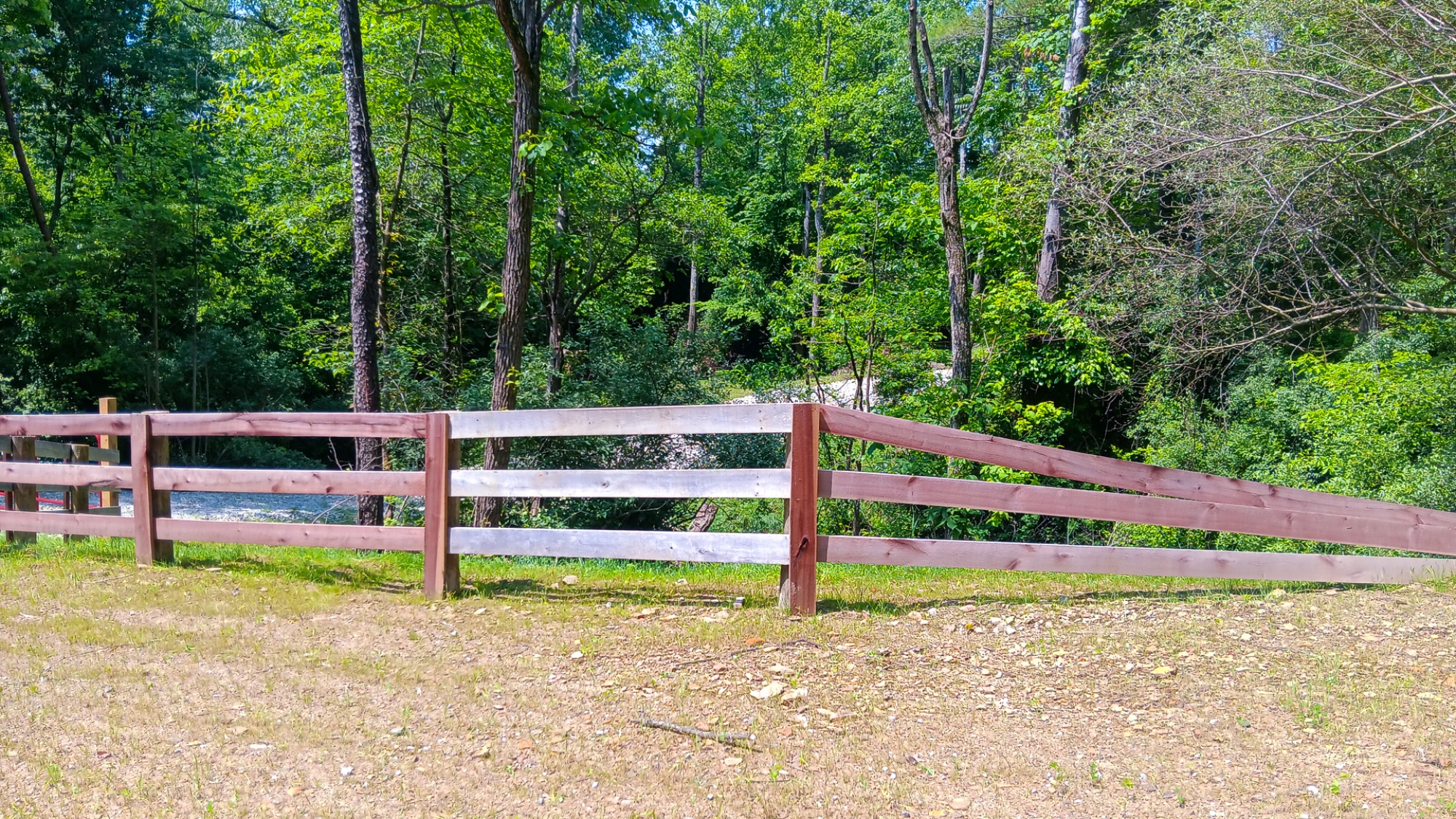
Beautiful Woods with Trails Throughout and Around the Property
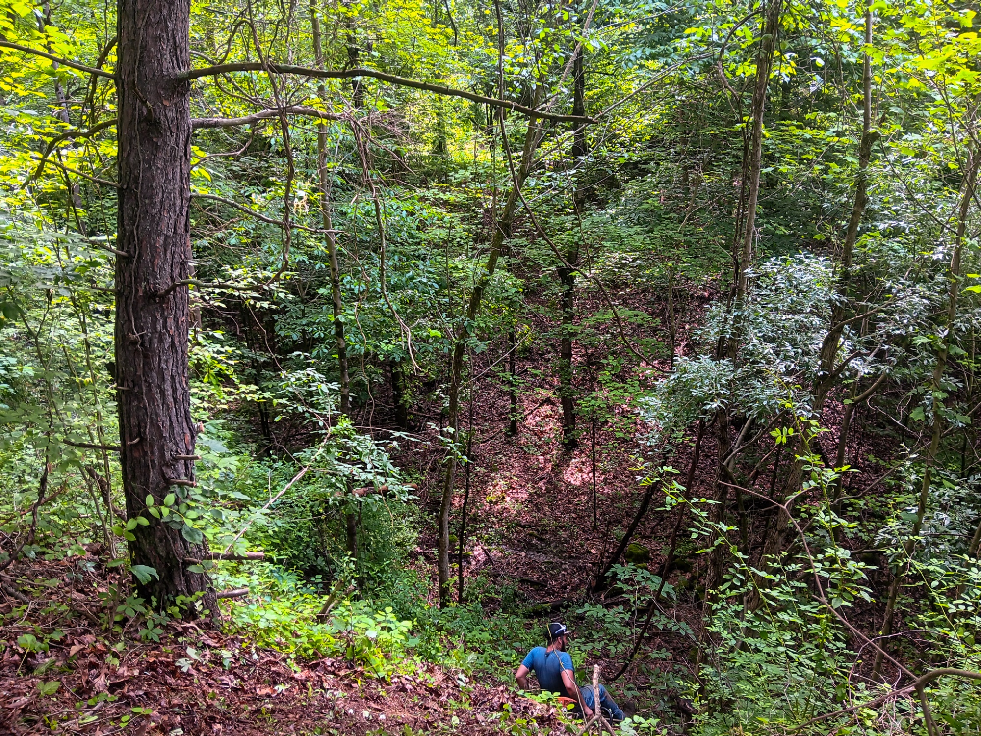
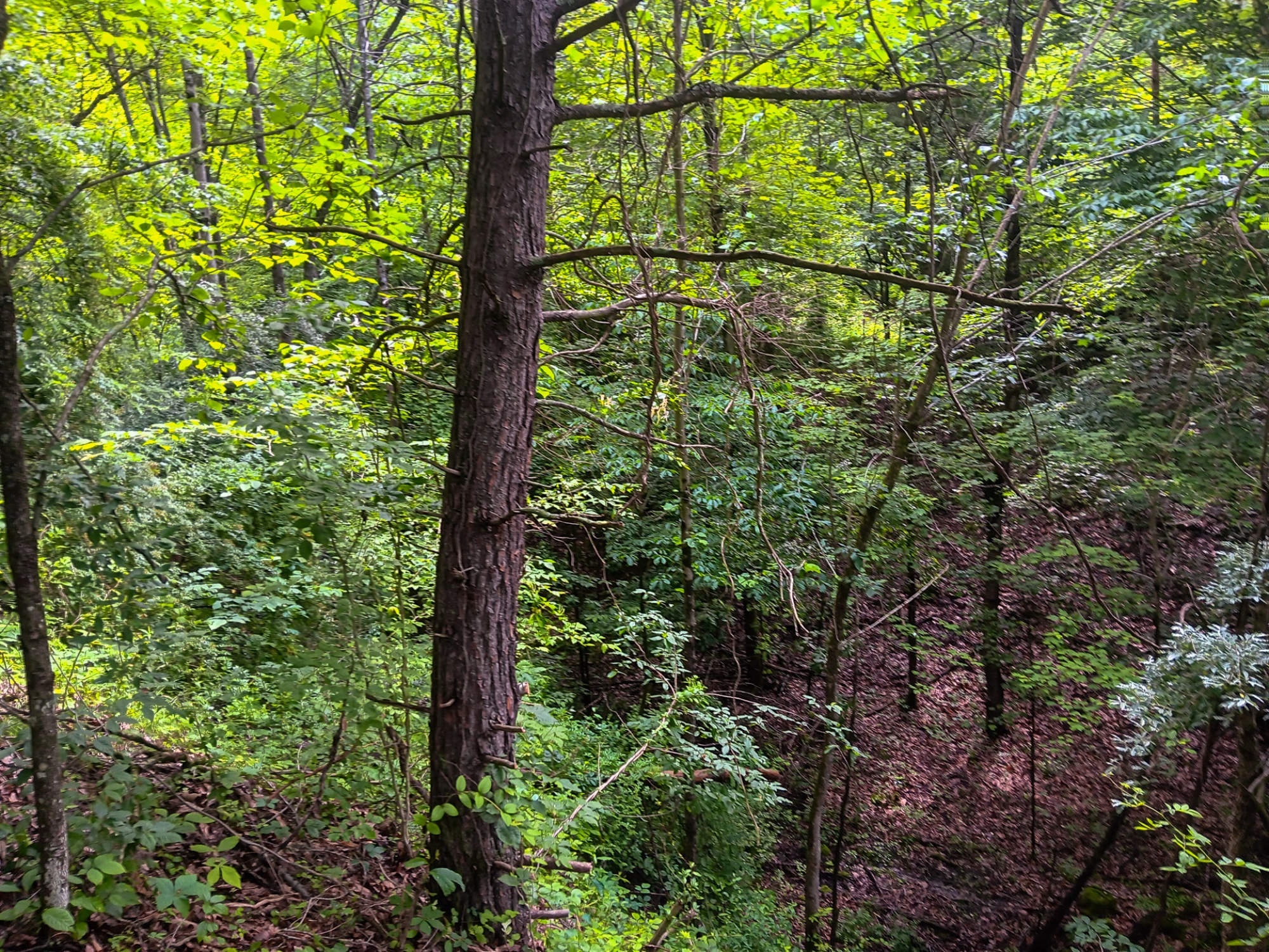
Adventurous Topography and Winding Trails, Makes for a Longer than Expected Hike
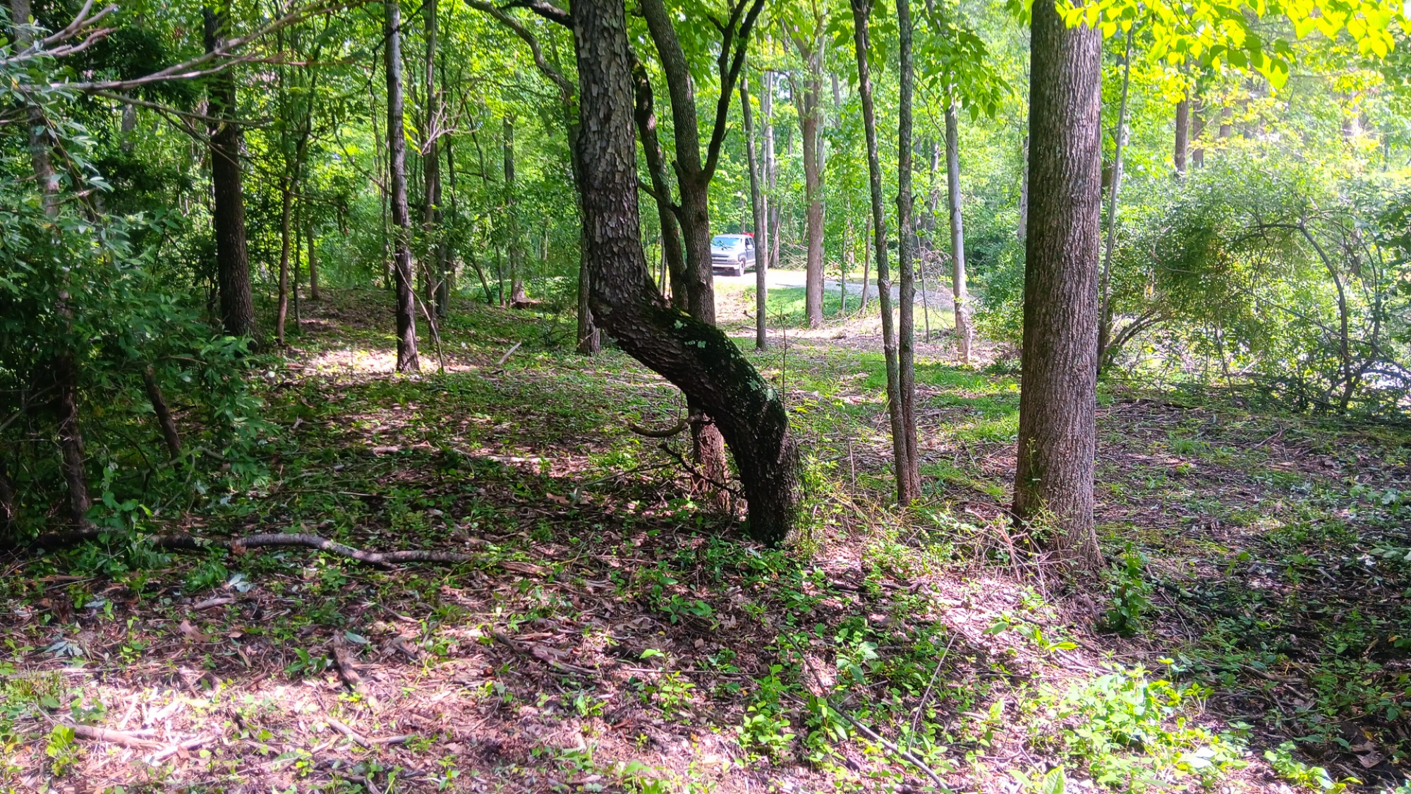
Park-like Settings
Loaded With Wildlife
Endless Recreational Opportunities Both on Property and in the Area
Conveniently Located to Thousands of Acres of Public Recreation
Less than 3 miles away from Over 22,000 Acres of Wayne National Forest
Got a Horse or ATV? 6 Miles from Perry State Forest, with 16 miles of ATV Trails and 8 miles of Bridal Trails
20 Miles to Lake Logan State Park. Go Swimming, Boating, or Fishing on the 400 Acre Lake
4.18 Acres – New Survey (Fully Approved)
Tract 4 at Turkey Run Subdivision, Additional Tracts Available
No Zoning, Minor Deed Restrictions
South Central Power Being Extended to Service Property
Southern Perry Water Available on Property
New Lexington Schools
Pike Township, Perry County
Parcel# 240007240104 3 Miles to New Lexington
16 Miles to Logan
20 Miles to Nelsonville
21 Miles to Lancaster
33 Miles to Athens
48 Miles to Columbus
112 Miles to DaytonPerry State Forest Stone Church Horseback Riding Trail Lake Logan State Park Hocking Hills Tourism More tracts in Turkey Run A Countrytyme advantage
Take the property lines into the field. On your phone, tap Walk property lines , allow your location when asked, and follow the blue dot in Tract Explorer to see your position in relation to the mapped boundary while you explore.
Walk property lines Property photos Show 35 more photos